
| Distance / Altitude | Location | Report Date / Time | Live Weather | Wind | Gusts | Temp. | Visibility | Cloud |
|---|---|---|---|---|---|---|---|---|
| 21 km WSW / 15 m | SHIP9960 (Marine) | 2026-03-10 01:00 local (2026/03/10 09:00 GMT) | - (- km/h at -) | — | - km | |||
| 25 km N / 3 m | BUOY-OVIA2 (Marine) | 2026-03-10 02:48 local (2026/03/10 10:48 GMT) | - (- km/h at -) | — | - | |||
| 26 km N / 211 m | Seldovia Airport (Alaska) | 2026-03-10 01:53 local (2026/03/10 09:53 GMT) | Clear | light winds from the N (19 km/h at 10) | -9°C | 16 | ||
| 35 km S / 3 m | BUOY-AMAA2 (Marine) | 2026-03-10 03:00 local (2026/03/10 11:00 GMT) | moderate winds from the NW (21 km/h at 310) | -11°C | - | |||
| 46 km NNE / 3 m | BUOY-HMRA2 (Marine) | 2026-03-10 02:30 local (2026/03/10 10:30 GMT) | light winds from the ENE (15 km/h at 60) | — | - | |||
| 21 km WSW / 3 m | SHIP4025 (Marine) | 2026-03-10 01:00 local (2026/03/10 09:00 GMT) | - (- km/h at -) | -5°C | - | |||
| 21 km WSW / 15 m | SHIP3894 (Marine) | 2026-03-10 01:00 local (2026/03/10 09:00 GMT) | - (- km/h at -) | — | - km | |||
| 21 km WSW / 3 m | SHIP8136 (Marine) | 2026-03-10 01:00 local (2026/03/10 09:00 GMT) | - (- km/h at -) | -5°C | - | |||
| 25 km N / 3 m | BUOY-OVIA2 (Marine) | 2026-03-10 02:48 local (2026/03/10 10:48 GMT) | - (- km/h at -) | — | - | |||
| 26 km N / 211 m | Seldovia Airport (Alaska) | 2026-03-10 01:53 local (2026/03/10 09:53 GMT) | Clear | light winds from the N (19 km/h at 10) | -9°C | 16 |
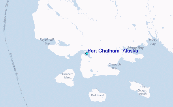
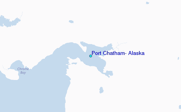
Other Nearby Locations' tide tables and tide charts to Port Chatham, Alaska:
click location name for more details
 Surf breaks close to Port Chatham, Alaska:
|
||
|---|---|---|
| Closest surf break | Termination Point | 97 mi |
| Second closest surf break | Mill Bay | 99 mi |
| Third closest surf break | Monashka Bay | 99 mi |
| Fourth closest surf break | Bird Point (Tidal Bore) | 104 mi |
| Fifth closest surf break | Fossil Beach Kodiak | 126 mi |


 Nearest
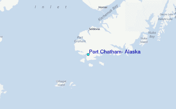