
| Distance / Altitude | Location | Report Date / Time | Live Weather | Wind | Gusts | Temp. | Visibility | Cloud |
|---|---|---|---|---|---|---|---|---|
| 15 km NE / 4 m | Low Isles Lighthouse (Australia) | 2026-06-03 15:00 local (2026/06/03 05:00 GMT) | No report | light winds from the NNE (13 km/h at 30) | 29°C | - | - no observation - | |
| 52 km SE / 8 m | Cairns Airport (Australia) | 2026-06-03 14:00 local (2026/06/03 04:00 GMT) | no report | wind obs. (15 kph from 170 degs) was rejected (- km/h at -) | 22°C | - | - no observation - | |
| 59 km SSE / 4 m | CairnsRacecourse (Australia) | 2026-06-03 14:00 local (2026/06/03 04:00 GMT) | no report | light winds from the NNE (11 km/h at 30) | 20°C | - | - no observation - | |
| 61 km S / 400 m | Mareeba (Australia) | 2026-06-03 14:40 local (2026/06/03 04:40 GMT) | dry | calm (3 km/h at 50) | 29°C | - | - - 0 | |
| 65 km S / 473 m | MareebaAirport (Australia) | 2026-06-03 15:00 local (2026/06/03 05:00 GMT) | no report | light winds from the S (9 km/h at 170) | 16°C | - | - no observation - | |
| 74 km ESE / 8 m | ArlingtonReef (Australia) | 2026-06-03 15:00 local (2026/06/03 05:00 GMT) | No report | calm (4 km/h at 330) | — | - | no observation | |
| 98 km SSE / 140 m | Bellenden Ker wx (Australia) | 2026-06-03 14:33 local (2026/06/03 04:33 GMT) | dry | wind obs. (13 kph from 92 degs) was rejected (- km/h at -) | 26°C | - | - - 0 | |
| 118 km NW / 478 m | Cooktown Airport (Australia) | 2026-06-03 15:00 local (2026/06/03 05:00 GMT) | no report | light winds from the SSE (9 km/h at 150) | 22°C | - | - no observation - | |
| 132 km SSE / 15 m | Innisfail Aerodrome (Australia) | 2026-06-03 15:00 local (2026/06/03 05:00 GMT) | no report | light winds from the ENE (17 km/h at 60) | 28°C | - | - no observation - | |
| 136 km SSE / 19 m | South Johnstone Station (Australia) | 2026-06-03 15:00 local (2026/06/03 05:00 GMT) | No report | light winds from the ENE (9 km/h at 60) | 26°C | - | no observation |
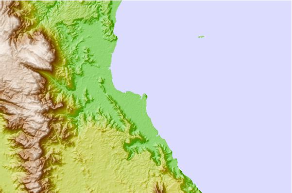
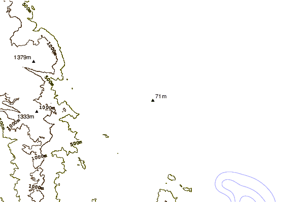
| Contours: | Roads & Rivers: | Select a
tide station / surf break / city |
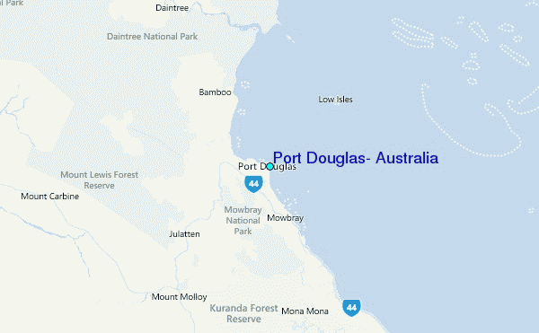
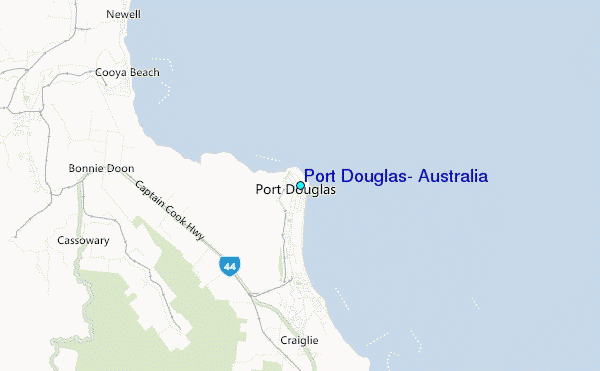
Use this relief map to navigate to tide stations, surf breaks and cities that are in the area of Port Douglas, Australia.
Other Nearby Locations' tide tables and tide charts to Port Douglas, Australia:
click location name for more details
 Surf breaks close to Port Douglas, Australia:
|
||
|---|---|---|
| Closest surf break | Eimeo Point | 397 mi |
| Second closest surf break | Dolphin Heads | 398 mi |
| Third closest surf break | Lamberts Beach | 401 mi |
| Fourth closest surf break | North Wall Mackay Harbour Beach | 403 mi |
| Fifth closest surf break | South Wall Mackay Harbour | 404 mi |


 Nearest
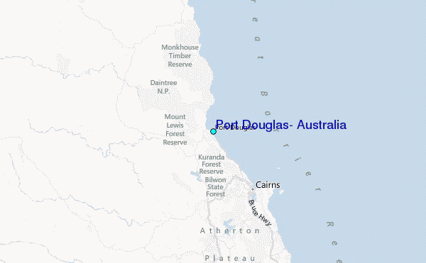