
| Distance / Altitude | Location | Report Date / Time | Live Weather | Wind | Gusts | Temp. | Visibility | Cloud |
|---|---|---|---|---|---|---|---|---|
| 1 km NNE / 3 m | BUOY-MHBT2 (Marine) | 2026-04-05 22:48 local (2026/04/06 03:48 GMT) | light winds from the N (11 km/h at 350) | — | 10.9 | |||
| 2 km S / 3 m | SHIP3418 (Marine) | 2026-04-05 21:00 local (2026/04/06 02:00 GMT) | - (- km/h at -) | 15°C | - | |||
| 7 km E / 4 m | Mustang Beach wx (United States) | 2026-04-05 22:20 local (2026/04/06 03:20 GMT) | dry | calm (5 km/h at 326) | 14°C | - | - - 0 | |
| 7 km N / 5 m | Kenney Lane West Colonia wx (United States) | 2026-04-05 22:25 local (2026/04/06 03:25 GMT) | dry | calm (2 km/h at 27) | 13°C | - | - - 0 | |
| 10 km NE / 4 m | Aransas Pass wx (United States) | 2026-04-05 23:13 local (2026/04/06 04:13 GMT) | dry | wind obs. (6 kph from 66 degs) was rejected (- km/h at -) | 14°C | - | - - 0 | |
| 2 km S / 3 m | SHIP1816 (Marine) | 2026-04-05 21:00 local (2026/04/06 02:00 GMT) | - (- km/h at -) | 15°C | - | |||
| 2 km S / 3 m | SHIP8931 (Marine) | 2026-04-05 21:00 local (2026/04/06 02:00 GMT) | - (- km/h at -) | 15°C | - | |||
| 2 km S / 15 m | SHIP10193 (Marine) | 2026-04-05 21:00 local (2026/04/06 02:00 GMT) | - (- km/h at -) | — | - km | |||
| 2 km S / 3 m | SHIP3426 (Marine) | 2026-04-05 21:00 local (2026/04/06 02:00 GMT) | - (- km/h at -) | 15°C | - | |||
| 2 km S / 3 m | SHIP7286 (Marine) | 2026-04-05 21:00 local (2026/04/06 02:00 GMT) | - (- km/h at -) | 15°C | - |
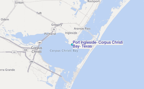
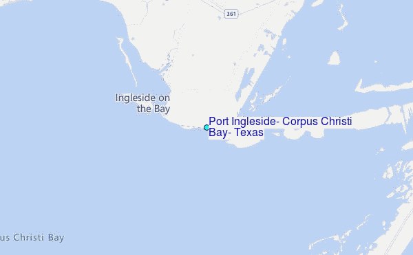
Choose Port Ingleside, Corpus Christi Bay, Texas Location Map Zoom:
| Contours: | Roads & Rivers: | Select a
tide station / surf break / city |
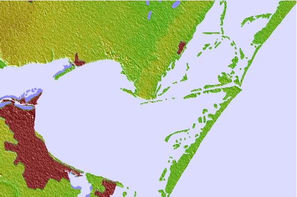

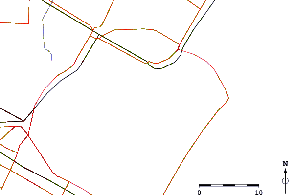
Use this relief map to navigate to tide stations, surf breaks and cities that are in the area of Port Ingleside, Corpus Christi Bay, Texas.
Other Nearby Locations' tide tables and tide charts to Port Ingleside, Corpus Christi Bay, Texas:
click location name for more details
 Surf breaks close to Port Ingleside, Corpus Christi Bay, Texas:
|
||
|---|---|---|
| Closest surf break | Fish Pass Jetty | 7 mi |
| Second closest surf break | Condos | 9 mi |
| Third closest surf break | Port Aransas | 9 mi |
| Fourth closest surf break | Horace Caldwell Pier | 10 mi |
| Fifth closest surf break | St Joe s Island | 10 mi |


 Nearest
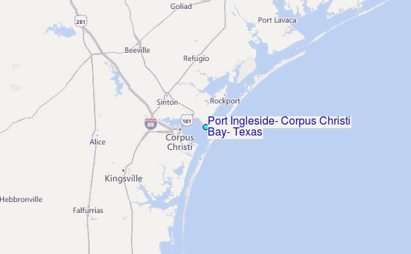