
| Distance / Altitude | Location | Report Date / Time | Live Weather | Wind | Gusts | Temp. | Visibility | Cloud |
|---|---|---|---|---|---|---|---|---|
| 22 km S / 29 m | Port Keats Airport (Australia) | 2026-05-05 23:30 local (2026/05/05 14:00 GMT) | no report | light winds from the ESE (9 km/h at 120) | 28°C | - | - no observation - | |
| 166 km SE / 76 m | Bradshaw (Australia) | 2026-05-05 21:30 local (2026/05/05 12:00 GMT) | no report | - (- km/h at -) | 26°C | - | - | |
| 172 km N / 15 m | ASCATB130E13S (Marine) | 2026-05-05 22:12 local (2026/05/05 12:42 GMT) | calm (4 km/h at 216) | — | - km | |||
| 172 km N / 15 m | ASCATB129E13S (Marine) | 2026-05-05 22:12 local (2026/05/05 12:42 GMT) | calm (3 km/h at 117) | — | - km | |||
| 177 km E / 44 m | DouglasRiver (Australia) | 2026-05-05 23:30 local (2026/05/05 14:00 GMT) | - | light winds from the SSE (7 km/h at 160) | 23°C | - | no observation | |
| 179 km NNE / 4 m | DumINMirrie Aws (Australia) | 2026-05-05 23:30 local (2026/05/05 14:00 GMT) | - | calm (0 km/h at 0) | 25°C | - | - no observation - | |
| 188 km SE / 110 m | Bradshaw - Angallari Valley (Defence) (Australia) | 2026-05-05 23:30 local (2026/05/05 14:00 GMT) | no report | light winds from the ESE (7 km/h at 110) | 27°C | - | - no observation - | |
| 192 km NE / 105 m | BatchelorAero (Australia) | 2026-05-05 23:30 local (2026/05/05 14:00 GMT) | no report | calm (4 km/h at 80) | 24°C | - | - no observation - | |
| 197 km NE / 94 m | KangarooFlats(Defence) (Australia) | 2026-05-05 23:30 local (2026/05/05 14:00 GMT) | no report | calm (2 km/h at 30) | 28°C | - | - no observation - | |
| 212 km S / 216 m | Kununurra Airport (Australia) | 2026-05-05 23:00 local (2026/05/05 13:30 GMT) | Dry and partly cloudy | light winds from the ESE (19 km/h at 120) | 28°C | 10.0 | no cloud broken broken |
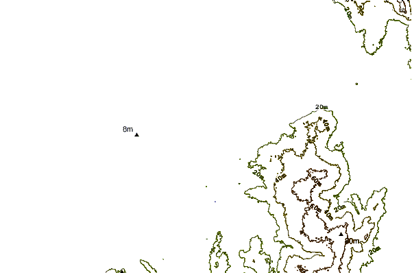
| Contours: | Roads & Rivers: | Select a
tide station / surf break / city |
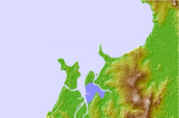
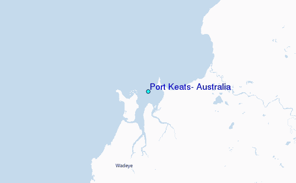
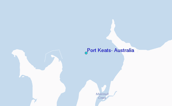
Use this relief map to navigate to tide stations, surf breaks and cities that are in the area of Port Keats, Australia.
Other Nearby Locations' tide tables and tide charts to Port Keats, Australia:
click location name for more details
 Surf breaks close to Port Keats, Australia:
|
||
|---|---|---|
| Closest surf break | Fannie Bay | 141 mi |
| Second closest surf break | Rapid Creek - Bar | 145 mi |
| Third closest surf break | Rapid Creek - Reef | 145 mi |
| Fourth closest surf break | Rapid Creek - Beach | 145 mi |
| Fifth closest surf break | Casuarina (Darwin) | 152 mi |


 Nearest
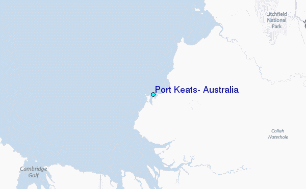