
| Distance / Altitude | Location | Report Date / Time | Live Weather | Wind | Gusts | Temp. | Visibility | Cloud |
|---|---|---|---|---|---|---|---|---|
| 34 km S / 3 m | BUOY-CDEA2 (Marine) | 2025-12-24 03:22 local (2025/12/24 12:22 GMT) | light winds from the NE (15 km/h at 40) | -6°C | - | |||
| 76 km NNE / 215 m | Kake Airport (Alaska) | 2025-12-24 01:56 local (2025/12/24 10:56 GMT) | Clear | calm (0 km/h at 0) | -12°C | 16 | ||
| 79 km N / 3 m | SHIP5835 (Marine) | 2025-12-24 01:00 local (2025/12/24 10:00 GMT) | moderate winds from the W (21 km/h at 280) | -5°C | - | |||
| 94 km ENE / 46 m | Scow Bay wx (United States) | 2025-12-24 03:33 local (2025/12/24 12:33 GMT) | - | calm (0 km/h at 202) | -14°C | - | - - 0 | |
| 97 km NE / 216 m | Petersburg Airport (Alaska) | 2025-12-24 03:08 local (2025/12/24 12:08 GMT) | Mist - | wind obs. (7 kph from 250 degs) was rejected (- km/h at -) | -17°C | 6 | scattered | |
| 80 km NW / 15 m | SHIP4965 (Marine) | 2025-12-24 01:00 local (2025/12/24 10:00 GMT) | fresh winds from the NW (29.52 km/h at 320) | — | - km | |||
| 80 km NW / 15 m | SHIP7460 (Marine) | 2025-12-24 01:00 local (2025/12/24 10:00 GMT) | fresh winds from the NW (29.52 km/h at 320) | — | - km | |||
| 80 km NW / 15 m | SHIP3618 (Marine) | 2025-12-24 01:00 local (2025/12/24 10:00 GMT) | fresh winds from the NW (29.52 km/h at 320) | — | - km | |||
| 80 km NW / 15 m | SHIP6842 (Marine) | 2025-12-24 01:00 local (2025/12/24 10:00 GMT) | fresh winds from the NW (29.52 km/h at 320) | — | - km | |||
| 80 km NW / 3 m | SHIP3916 (Marine) | 2025-12-24 01:00 local (2025/12/24 10:00 GMT) | fresh winds from the NW (30 km/h at 320) | -6°C | - |
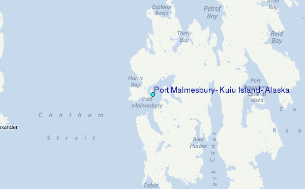
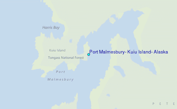
Choose Port Malmesbury, Kuiu Island, Alaska Location Map Zoom:
| Contours: | Roads & Rivers: | Select a
tide station / surf break / city |
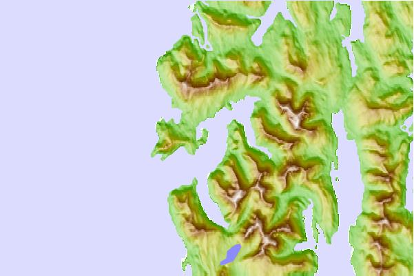
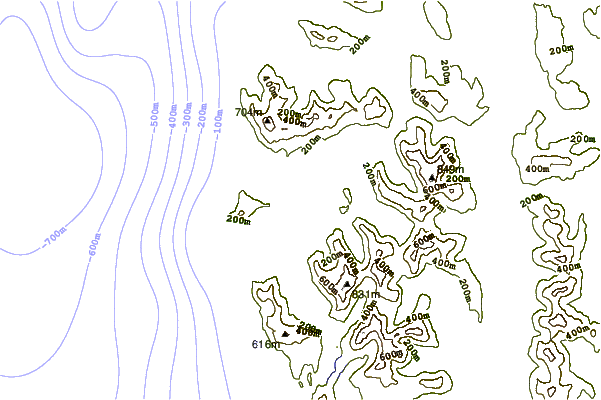

Use this relief map to navigate to tide stations, surf breaks and cities that are in the area of Port Malmesbury, Kuiu Island, Alaska.
Other Nearby Locations' tide tables and tide charts to Port Malmesbury, Kuiu Island, Alaska:
click location name for more details
 Surf breaks close to Port Malmesbury, Kuiu Island, Alaska:
|
||
|---|---|---|
| Closest surf break | Lepus Beach (Haida-Gwaii) | 155 mi |
| Second closest surf break | Tow Hill Beach | 181 mi |
| Third closest surf break | Cannon Beach | 300 mi |
| Fourth closest surf break | Graveyards | 304 mi |
| Fifth closest surf break | Ocean Cape | 305 mi |


 Nearest
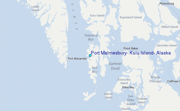