
| Distance / Altitude | Location | Report Date / Time | Live Weather | Wind | Gusts | Temp. | Visibility | Cloud |
|---|---|---|---|---|---|---|---|---|
| 8 km S / 3 m | BUOY-CDXA2 (Marine) | 2026-06-20 14:02 local (2026/06/20 22:02 GMT) | fresh winds from the WNW (35 km/h at 300) | 10°C | - | |||
| 8 km S / 3 m | BUOY-CDEA2 (Marine) | 2026-06-20 13:22 local (2026/06/20 21:22 GMT) | fresh winds from the WNW (30 km/h at 290) | 13°C | - | |||
| 39 km W / 3 m | BUOY-PLXA2 (Marine) | 2026-06-20 13:48 local (2026/06/20 21:48 GMT) | - (0 km/h at -) | — | - | |||
| 73 km S / 15 m | ASCATC225E56N (Marine) | 2026-06-20 11:44 local (2026/06/20 19:44 GMT) | strong winds from the NW (40 km/h at 320) | — | - km | |||
| 85 km SE / 206 m | Klawock Airport (Alaska) | 2026-06-20 12:53 local (2026/06/20 20:53 GMT) | Clear | wind obs. (19 kph from 210 degs) was rejected (- km/h at -) | 21°C | 16 | ||
| 89 km E / 3 m | BUOY-LCNA2 (Marine) | 2026-06-20 13:10 local (2026/06/20 21:10 GMT) | moderate winds from the NNW (21 km/h at 340) | 18°C | - | |||
| 90 km SE / 3 m | BUOY-CRGA2 (Marine) | 2026-06-20 13:24 local (2026/06/20 21:24 GMT) | light winds from the N (9 km/h at 350) | 16°C | - | |||
| 101 km N / 215 m | Kake Airport (Alaska) | 2026-06-20 12:56 local (2026/06/20 20:56 GMT) | Clear | light winds from the W (11 km/h at 260) | 18°C | 16 | ||
| 105 km NE / 46 m | Scow Bay wx (United States) | 2026-06-20 13:40 local (2026/06/20 21:40 GMT) | dry | calm (0 km/h at 190) | 25°C | - | - - 0 | |
| 107 km NE / 15 m | SHIP7049 (Marine) | 2026-06-20 12:00 local (2026/06/20 20:00 GMT) | light winds from the E (11.16 km/h at 80) | 8°C | - km |
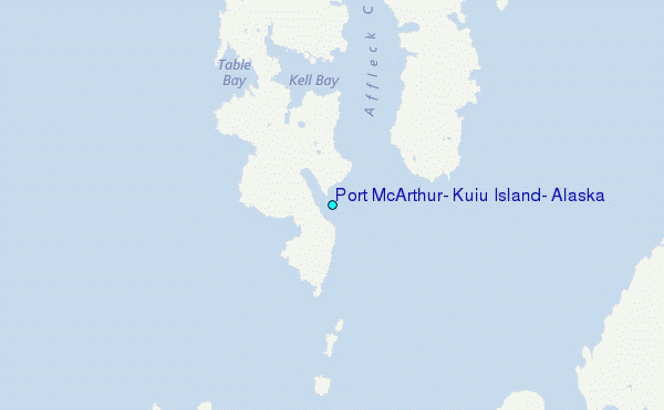
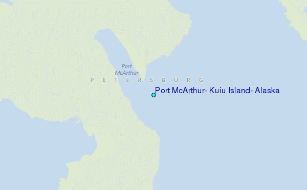
Choose Port McArthur, Kuiu Island, Alaska Location Map Zoom:
| Contours: | Roads & Rivers: | Select a
tide station / surf break / city |
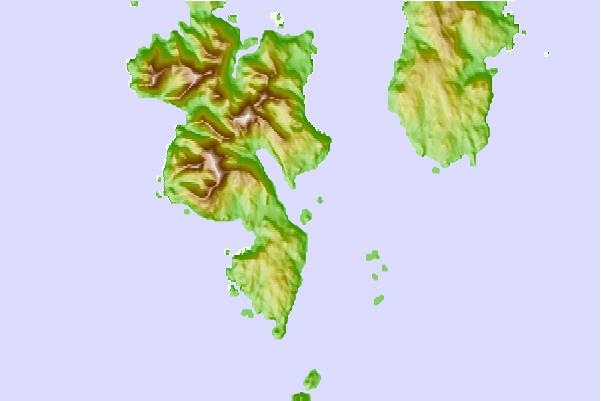
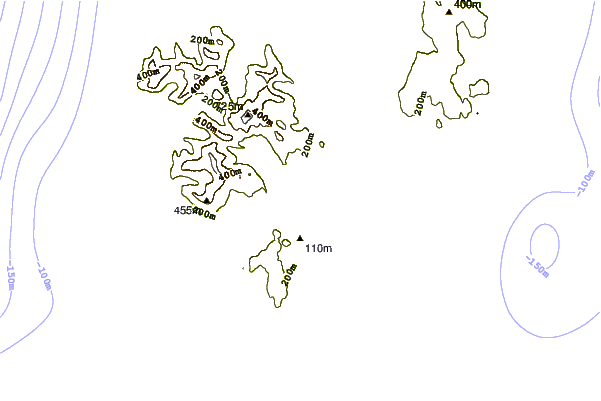
Use this relief map to navigate to tide stations, surf breaks and cities that are in the area of Port McArthur, Kuiu Island, Alaska.
Other Nearby Locations' tide tables and tide charts to Port McArthur, Kuiu Island, Alaska:
click location name for more details
 Surf breaks close to Port McArthur, Kuiu Island, Alaska:
|
||
|---|---|---|
| Closest surf break | Lepus Beach (Haida-Gwaii) | 138 mi |
| Second closest surf break | Tow Hill Beach | 165 mi |
| Third closest surf break | Cannon Beach | 316 mi |
| Fourth closest surf break | Graveyards | 319 mi |
| Fifth closest surf break | Ocean Cape | 320 mi |


 Nearest
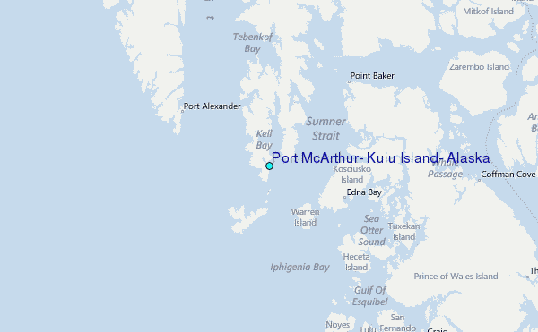