
| Distance / Altitude | Location | Report Date / Time | Live Weather | Wind | Gusts | Temp. | Visibility | Cloud |
|---|---|---|---|---|---|---|---|---|
| 47 km NNE / 176 m | CleveAerodrome (Australia) | 2026-06-09 17:30 local (2026/06/09 08:00 GMT) | - | fresh winds from the N (33 km/h at 360) | 18°C | - | no observation | |
| 61 km SW / 61 m | Cummins Aerodrome (Australia) | 2026-06-09 17:30 local (2026/06/09 08:00 GMT) | - | moderate winds from the N (28 km/h at 360) | 18°C | - | no observation | |
| 61 km SW / 61 m | Cummins Aerodrome (Australia) | 2026-06-09 17:30 local (2026/06/09 08:00 GMT) | no report | wind obs. (11 kph from 210 degs) was rejected (- km/h at -) | 10°C | - | - | |
| 69 km SSW / 8 m | Port Lincoln (Australia) | 2026-06-09 17:30 local (2026/06/09 08:00 GMT) | - | moderate winds from the N (26 km/h at 360) | 18°C | - | no observation | |
| 109 km E / 1 m | WarburtoPoint (Australia) | 2026-06-09 17:30 local (2026/06/09 08:00 GMT) | - | fresh winds from the N (33 km/h at 10) | — | - | - no observation - | |
| 122 km E / 42 m | KadinaAws (Australia) | 2026-06-09 17:30 local (2026/06/09 08:00 GMT) | - | fresh winds from the N (33 km/h at 10) | 16°C | - | no observation | |
| 129 km ESE / 32 m | Minlaton Aero (Australia) | 2026-06-09 17:30 local (2026/06/09 08:00 GMT) | no report | strong winds from the N (43 km/h at 10) | 17°C | - | - no observation - | |
| 134 km NW / 120 m | Kyancutta (Australia) | 2026-06-09 17:30 local (2026/06/09 08:00 GMT) | no report | wind obs. (19 kph from 200 degs) was rejected (- km/h at -) | 17°C | 35 | - | |
| 137 km S / 32 m | Neptune Island Lighthouse (Australia) | 2026-06-09 17:30 local (2026/06/09 08:00 GMT) | no report | strong winds from the N (48 km/h at 350) | 18°C | - | - no observation - | |
| 140 km SSE / 240 m | Stenhouse Bay (Australia) | 2026-06-09 17:30 local (2026/06/09 08:00 GMT) | - | fresh winds from the N (35 km/h at 360) | 17°C | - | no observation |
| Contours: | Roads & Rivers: | Select a
tide station / surf break / city |
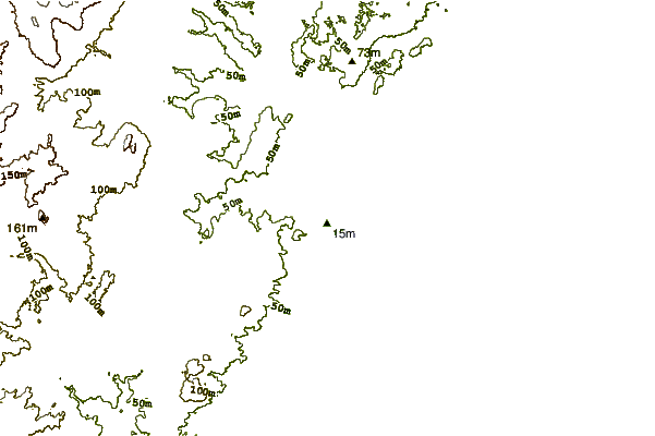
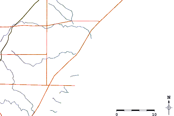
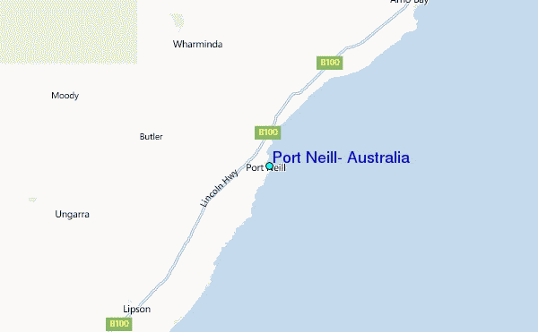
Use this relief map to navigate to tide stations, surf breaks and cities that are in the area of Port Neill, Australia.
Other Nearby Locations' tide tables and tide charts to Port Neill, Australia:
click location name for more details
 Surf breaks close to Port Neill, Australia:
|
||
|---|---|---|
| Closest surf break | Red Banks Reefs | 22 mi |
| Second closest surf break | Greenly Beach (Coles Point) | 59 mi |
| Third closest surf break | Thistle Island (False Creek) | 61 mi |
| Fourth closest surf break | Sleaford Bay (Wreck Beach) | 62 mi |
| Fifth closest surf break | Monument | 63 mi |


 Nearest
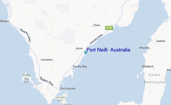