
| Distance / Altitude | Location | Report Date / Time | Live Weather | Wind | Gusts | Temp. | Visibility | Cloud |
|---|---|---|---|---|---|---|---|---|
| 1 km WSW / 3 m | BUOY-PCNT2 (Marine) | 2026-07-11 18:48 local (2026/07/11 23:48 GMT) | - (- km/h at -) | — | - | |||
| 2 km SW / 6 m | Port O Connor (Texas) | 2026-07-11 18:48 local (2026/07/11 23:48 GMT) | dry | light winds from the SE (13 km/h at 130) | 30°C | - | - - 0 | |
| 7 km ESE / 3 m | BUOY-MBET2 (Marine) | 2026-07-11 18:48 local (2026/07/11 23:48 GMT) | moderate winds from the SE (24 km/h at 130) | — | - | |||
| 30 km WNW / 3 m | BUOY-VCAT2 (Marine) | 2026-07-11 18:48 local (2026/07/11 23:48 GMT) | moderate winds from the SSE (26 km/h at 150) | — | - | |||
| 32 km NNE / 171 m | Palacios Airport (Texas) | 2026-07-11 17:53 local (2026/07/11 22:53 GMT) | Haze - | moderate winds from the SE (22 km/h at 140) | 32°C | 10 | few few | |
| 36 km N / 8 m | La Ward (Texas) | 2026-07-11 18:24 local (2026/07/11 23:24 GMT) | dry | wind obs. (14 kph from 10 degs) was rejected (- km/h at -) | — | - | - - 0 | |
| 36 km WNW / 220 m | Port Lavaca Airport (Texas) | 2026-07-11 18:35 local (2026/07/11 23:35 GMT) | Dry and partly cloudy | light winds from the ESE (17 km/h at 120) | 30°C | 14 | scattered scattered broken | |
| 37 km W / 9 m | Port Lavaca (Texas) | 2026-07-11 18:34 local (2026/07/11 23:34 GMT) | dry | light winds from the ESE (8 km/h at 110) | 30°C | - | - - 0 | |
| 44 km N / 16 m | La Ward (Texas) | 2026-07-11 19:17 local (2026/07/12 00:17 GMT) | dry | light winds from the SE (8 km/h at 137) | 30°C | - | - - 0 | |
| 47 km W / 14 m | lightning 8km ENE of Bloomington (United States) | 2026-07-11 17:01 local (2026/07/11 22:01 GMT) | Thunderstorm | (- km/h at -) | — |
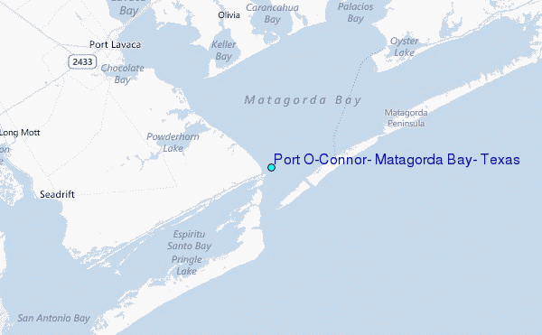
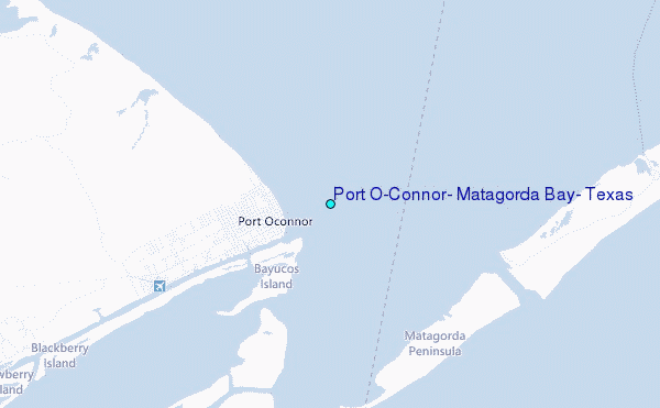
Choose Port O'Connor, Matagorda Bay, Texas Location Map Zoom:
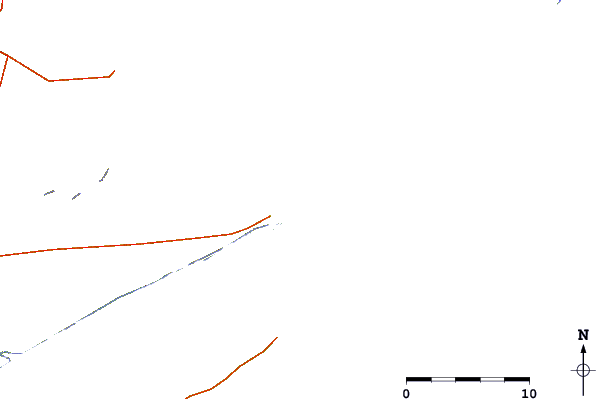
| Contours: | Roads & Rivers: | Select a
tide station / surf break / city |
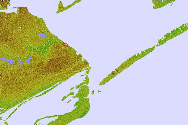

Use this relief map to navigate to tide stations, surf breaks and cities that are in the area of Port O'Connor, Matagorda Bay, Texas.
Other Nearby Locations' tide tables and tide charts to Port O'Connor, Matagorda Bay, Texas:
click location name for more details
 Surf breaks close to Port O'Connor, Matagorda Bay, Texas:
|
||
|---|---|---|
| Closest surf break | Port O'Conner | 4 mi |
| Second closest surf break | Matagorda | 26 mi |
| Third closest surf break | Coastal Bend Area | 42 mi |
| Fourth closest surf break | San Jose Island | 52 mi |
| Fifth closest surf break | St Joe s Island | 58 mi |


 Nearest
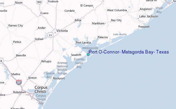