
| Distance / Altitude | Location | Report Date / Time | Live Weather | Wind | Gusts | Temp. | Visibility | Cloud |
|---|---|---|---|---|---|---|---|---|
| 0 km WSW / 3 m | BUOY-PORO3 (Marine) | 2026-06-15 17:48 local (2026/06/16 00:48 GMT) | moderate winds from the NNW (22 km/h at 340) | — | - | |||
| 26 km W / - m | SHIP224 (ocean) | 2026-06-15 17:00 local (2026/06/16 00:00 GMT) | - | fresh winds from the N (29 km/h at 10) | 13°C | - | no observation | |
| 28 km WSW / 3 m | Port Orford Buoy (Marine) | 2026-06-15 17:40 local (2026/06/16 00:40 GMT) | fresh winds from the N (29 km/h at 10) | 13°C | - | |||
| 37 km S / 5 m | Gold Beach Airport (Oregon) | 2026-06-15 17:35 local (2026/06/16 00:35 GMT) | Clear | moderate winds from the NNW (28 km/h at 340) | 21°C | 11 | ||
| 62 km NNE / 3 m | BUOY-SNTO3 (Marine) | 2026-06-15 17:30 local (2026/06/16 00:30 GMT) | light winds from the N (9 km/h at 360) | 17°C | - | |||
| 26 km W / - m | SHIP813 (ocean) | 2026-06-15 16:00 local (2026/06/15 23:00 GMT) | - | fresh winds from the N (32 km/h at 10) | 14°C | - | no observation | |
| 26 km W / - m | SHIP1767 (ocean) | 2026-06-15 18:00 local (2026/06/16 01:00 GMT) | - | fresh winds from the N (29 km/h at 10) | 13°C | - | no observation | |
| 26 km W / - m | SHIP1124 (ocean) | 2026-06-15 18:00 local (2026/06/16 01:00 GMT) | - | fresh winds from the N (29 km/h at 10) | 13°C | - | no observation | |
| 26 km W / - m | SHIP122 (ocean) | 2026-06-15 17:00 local (2026/06/16 00:00 GMT) | - | fresh winds from the N (29 km/h at 10) | 13°C | - | no observation | |
| 28 km WSW / 3 m | Port Orford Buoy (Marine) | 2026-06-15 17:40 local (2026/06/16 00:40 GMT) | fresh winds from the N (29 km/h at 10) | 13°C | - |
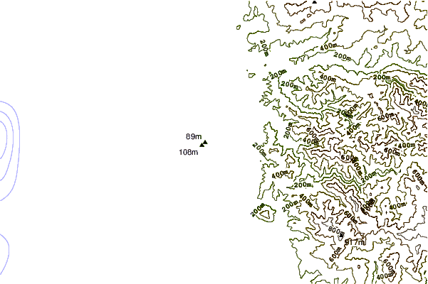
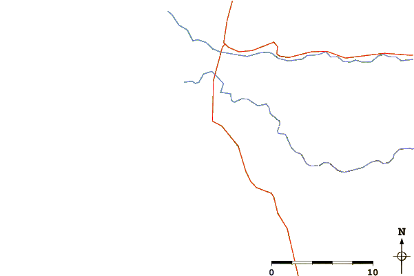
| Contours: | Roads & Rivers: | Select a
tide station / surf break / city |
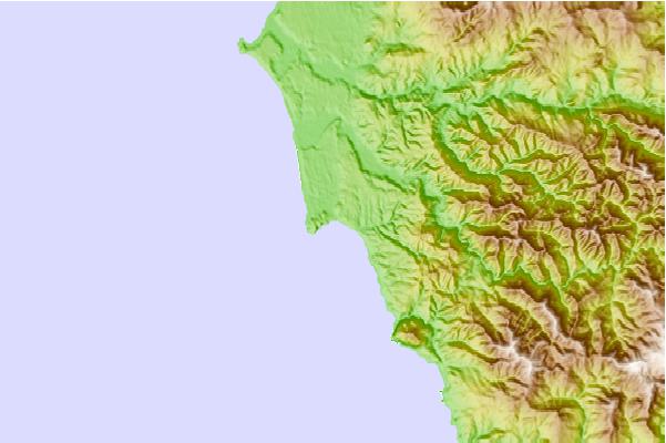
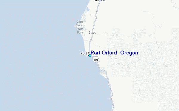
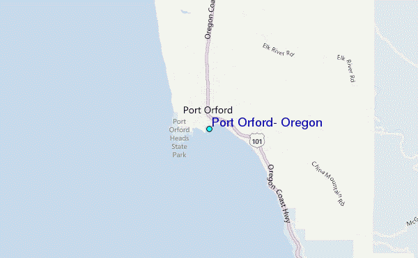
Use this relief map to navigate to tide stations, surf breaks and cities that are in the area of Port Orford, Oregon.
Other Nearby Locations' tide tables and tide charts to Port Orford, Oregon:
click location name for more details
 Surf breaks close to Port Orford, Oregon:
|
||
|---|---|---|
| Closest surf break | Port Orford | 0 mi |
| Second closest surf break | Frankport | 12 mi |
| Third closest surf break | Nesika Beach | 17 mi |
| Fourth closest surf break | Little Joes/Between the Jetties | 22 mi |
| Fifth closest surf break | Gold Beach/South Park/Hunter Creek | 23 mi |


 Nearest
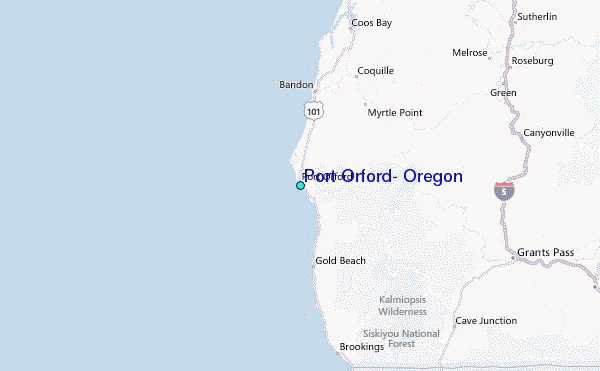