
| Distance / Altitude | Location | Report Date / Time | Live Weather | Wind | Gusts | Temp. | Visibility | Cloud |
|---|---|---|---|---|---|---|---|---|
| 12 km SSW / 218 m | Cocos Islands International Airport (Australia) | 2025-12-23 11:00 local (2025/12/23 04:30 GMT) | Dry and cloudy | fresh winds from the S (30 km/h at 180) | 30°C | 10.0 | few scattered overcast | |
| 13 km S / 4 m | CocosIslandAero (Cocos Islands) | 2025-12-23 11:30 local (2025/12/23 05:00 GMT) | Clear skies | fresh winds from the S (31 km/h at 180) | 30°C | - | - no observation - | |
| 56 km SSW / 15 m | ASCATC97E12S (Marine) | 2025-12-23 09:45 local (2025/12/23 03:15 GMT) | fresh winds from the S (34 km/h at 170) | — | - km | |||
| 80 km NW / 15 m | ASCATC97E11S (Marine) | 2025-12-23 09:45 local (2025/12/23 03:15 GMT) | moderate winds from the SSE (27 km/h at 167) | — | - km | |||
| 83 km ESE / 15 m | ASCATC98E12S (Marine) | 2025-12-23 09:45 local (2025/12/23 03:15 GMT) | fresh winds from the S (37 km/h at 182) | — | - km | |||
| 96 km NE / 15 m | ASCATC98E11S (Marine) | 2025-12-23 09:45 local (2025/12/23 03:15 GMT) | moderate winds from the SSW (27 km/h at 205) | — | - km | |||
| 104 km ESE / 15 m | ASCATB98E12S (Marine) | 2025-12-23 09:05 local (2025/12/23 02:35 GMT) | strong winds from the S (40 km/h at 179) | — | - km | |||
| 139 km ENE / 15 m | ASCATB98E11S (Marine) | 2025-12-23 09:04 local (2025/12/23 02:34 GMT) | fresh winds from the SW (30 km/h at 214) | — | - km | |||
| 149 km SW / 15 m | ASCATC96E12S (Marine) | 2025-12-23 09:45 local (2025/12/23 03:15 GMT) | moderate winds from the SSE (28 km/h at 158) | — | - km | |||
| 150 km W / 15 m | ASCATC96E11S (Marine) | 2025-12-23 09:45 local (2025/12/23 03:15 GMT) | moderate winds from the SSE (24 km/h at 167) | — | - km |
| Contours: | Roads & Rivers: | Select a
tide station / surf break / city |
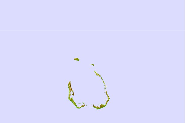
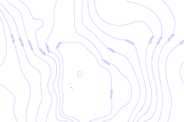
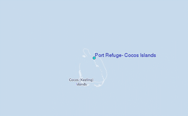
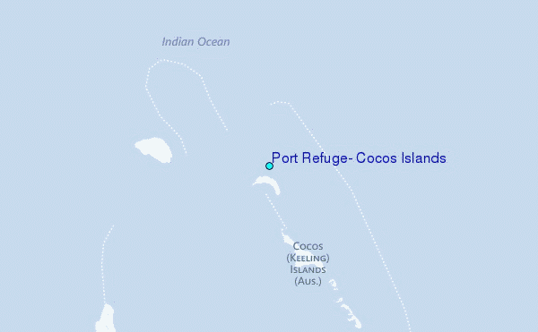
Use this relief map to navigate to tide stations, surf breaks and cities that are in the area of Port Refuge, Cocos Islands.
Other Nearby Locations' tide tables and tide charts to Port Refuge, Cocos Islands:
click location name for more details
 Surf breaks close to Port Refuge, Cocos Islands:
|
||
|---|---|---|
| Closest surf break | Jetty's | 607 mi |
| Second closest surf break | Thunders | 663 mi |
| Third closest surf break | Rags Right | 663 mi |
| Fourth closest surf break | Rags Left | 666 mi |
| Fifth closest surf break | Gilligans | 673 mi |


 Nearest
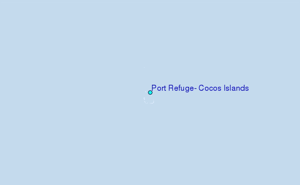