
| Distance / Altitude | Location | Report Date / Time | Live Weather | Wind | Gusts | Temp. | Visibility | Cloud |
|---|---|---|---|---|---|---|---|---|
| 115 km WNW / 208 m | Majuro Atoll Airport (Marshall Islands) | 2026-06-03 05:50 local (2026/06/02 17:50 GMT) | Dry and partly cloudy | light winds from the W (7 km/h at 260) | — | 24 | few scattered broken | |
| 451 km SW / 15 m | SHIP3460 (Marine) | 2026-06-03 06:00 local (2026/06/02 18:00 GMT) | light winds from the NE (12.96 km/h at 50) | 26°C | - km | |||
| 528 km W / 215 m | Kwajalein/buchol Airport (Marshall Islands) | 2026-06-03 06:40 local (2026/06/02 18:40 GMT) | Dry and partly cloudy | calm (0 km/h at 0) | 27°C | 16 | scattered scattered scattered | |
| 528 km W / 3 m | BUOY-KWJP8 (Marine) | 2026-06-03 07:00 local (2026/06/02 19:00 GMT) | - (- km/h at -) | — | - | |||
| 557 km SSE / 2 m | Tarawa Kiribati Airport (Fiji/tonga/tuvalu) | 2026-06-03 06:00 local (2026/06/02 18:00 GMT) | Dry and partly cloudy | light winds from the SSW (7 km/h at 200) | 29°C | 10.0 | scattered broken - | |
| 527 km W / 215 m | Kwajalein/buchol Airport (Marshall Islands) | 2026-06-03 06:40 local (2026/06/02 18:40 GMT) | Dry and partly cloudy | calm (0 km/h at 0) | 27°C | 16 | scattered scattered scattered | |
| 527 km W / 3 m | BUOY-KWJP8 (Marine) | 2026-06-03 07:00 local (2026/06/02 19:00 GMT) | - (- km/h at -) | — | - | |||
| 528 km W / 15 m | SHIP3676 (Marine) | 2026-06-03 05:00 local (2026/06/02 17:00 GMT) | - (- km/h at -) | — | - km | |||
| 528 km W / 3 m | SHIP8486 (Marine) | 2026-06-03 05:00 local (2026/06/02 17:00 GMT) | - (- km/h at -) | — | - | |||
| 528 km W / 15 m | SHIP4980 (Marine) | 2026-06-03 05:00 local (2026/06/02 17:00 GMT) | - (- km/h at -) | — | - km |
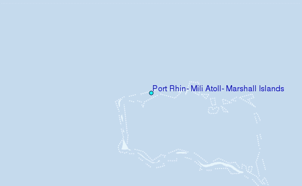
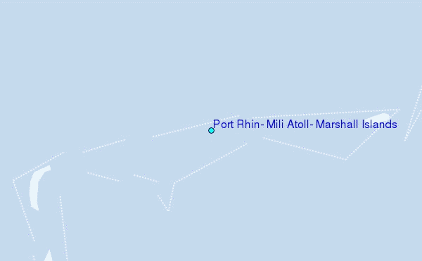
Choose Port Rhin, Mili Atoll, Marshall Islands Location Map Zoom:
| Contours: | Roads & Rivers: | Select a
tide station / surf break / city |
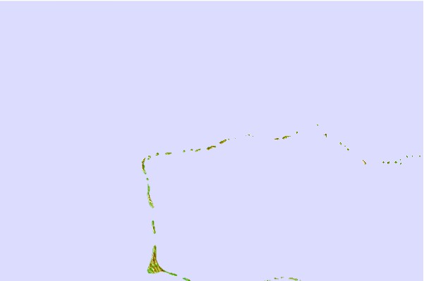
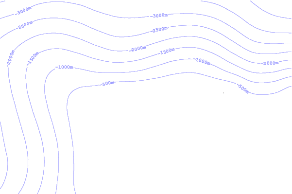
Use this relief map to navigate to tide stations, surf breaks and cities that are in the area of Port Rhin, Mili Atoll, Marshall Islands.
Other Nearby Locations' tide tables and tide charts to Port Rhin, Mili Atoll, Marshall Islands:
click location name for more details
 Surf breaks close to Port Rhin, Mili Atoll, Marshall Islands:
|
||
|---|---|---|
| Closest surf break | Naa | 328 mi |
| Second closest surf break | Sidedish | 613 mi |
| Third closest surf break | Walung | 614 mi |
| Fourth closest surf break | Lavata | 1424 mi |
| Fifth closest surf break | Kundu Kundu | 1424 mi |


 Nearest
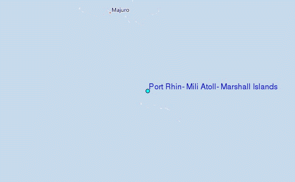