
| Distance / Altitude | Location | Report Date / Time | Live Weather | Wind | Gusts | Temp. | Visibility | Cloud |
|---|---|---|---|---|---|---|---|---|
| 188 km NNE / 1587 m | Goroka Highlands Airport (Papua-New Guinea) | 2024-07-27 10:00 local (2024/07/27 00:00 GMT) | visibility reduced by smoke | - (- km/h at -) | 22°C | 30 | - | |
| 241 km ENE / 70 m | Nadzab (Papua New Guinea) | 2024-07-27 10:00 local (2024/07/27 00:00 GMT) | rain | light winds from the N (6 km/h at 1) | 25°C | 30 | few overcast - | |
| 292 km NE / 69 m | Mount Hagen Airport (Papua New Guinea) | 2024-07-27 10:00 local (2024/07/27 00:00 GMT) | Dry and partly cloudy | light winds from the N (6 km/h at 1) | 18°C | 10.0 | scattered scattered | |
| 324 km SE / 48 m | Port Moresby (Papua New Guinea) | 2024-07-27 10:00 local (2024/07/27 00:00 GMT) | haze | fresh winds from the SSE (30 km/h at 160) | 26°C | 20 | - - - | |
| 326 km SE / 359 m | Port Moresby International Airport (Papua New Guinea) | 2024-07-27 10:00 local (2024/07/27 00:00 GMT) | Haze - | light winds from the SSE (19 km/h at 150) | 29°C | 10.0 | scattered | |
| 327 km SSW / 4 m | Coconut Island (Australia) | 2024-07-27 10:00 local (2024/07/27 00:00 GMT) | no report | - (- km/h at -) | 26°C | - | - | |
| 426 km SSW / 13 m | Horn Island Airport (Australia) | 2024-07-27 10:30 local (2024/07/27 00:30 GMT) | Dry and partly cloudy | moderate winds from the ESE (28 km/h at 120) | 27°C | 10.0 | few broken | |
| 427 km SSW / 5 m | Horn Island Automatic Weather Station (Australia) | 2024-07-27 11:00 local (2024/07/27 01:00 GMT) | no report | moderate winds from the ESE (28 km/h at 120) | 27°C | - | - no observation - | |
| 467 km SSW / 15 m | ASCATB142E10S (Marine) | 2024-07-27 09:32 local (2024/07/26 23:32 GMT) | moderate winds from the ESE (27 km/h at 111) | — | - km | |||
| 496 km SW / 3 m | MeraukeMopah (Indonesia) | 2024-07-27 10:00 local (2024/07/27 00:00 GMT) | - | light winds from the E (19 km/h at 100) | 26°C | 30 km | - mostly cloudy - |
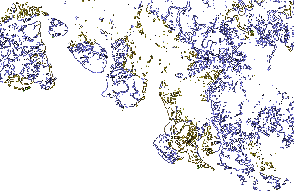
| Contours: | Roads & Rivers: | Select a
tide station / surf break / city |
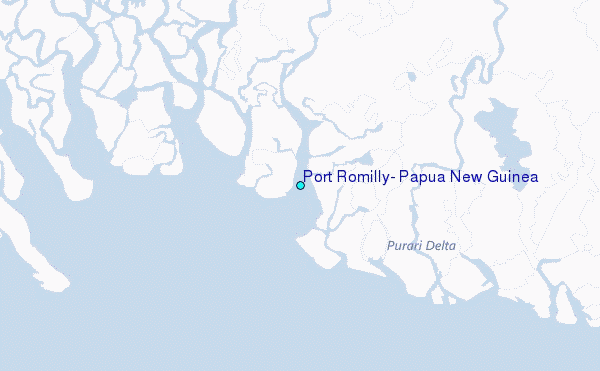
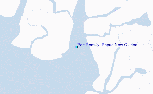
Use this relief map to navigate to tide stations, surf breaks and cities that are in the area of Port Romilly, Papua New Guinea.
Other Nearby Locations' tide tables and tide charts to Port Romilly, Papua New Guinea:
click location name for more details
 Surf breaks close to Port Romilly, Papua New Guinea:
|
||
|---|---|---|
| Closest surf break | Tupira Right | 226 mi |
| Second closest surf break | Forok Point | 289 mi |
| Third closest surf break | The Wharf (Mission Point) | 295 mi |
| Fourth closest surf break | Moem Point | 295 mi |
| Fifth closest surf break | Wewak Point | 296 mi |

 Nearest
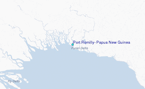