
| Distance / Altitude | Location | Report Date / Time | Live Weather | Wind | Gusts | Temp. | Visibility | Cloud |
|---|---|---|---|---|---|---|---|---|
| 7 km ESE / 191 m | Kingston/Norman Manley International Airport (Jamaica) | 2026-03-23 21:00 local (2026/03/24 02:00 GMT) | - | light winds from the NNW (11 km/h at 340) | 25°C | - | - no observation - | |
| 13 km WNW / 76 m | Twickenham Park wx (Jamaica) | 2026-03-23 20:09 local (2026/03/24 01:09 GMT) | dry | calm (2 km/h at 341) | 23°C | - | - - 0 | |
| 129 km W / 193 m | Sangster/Montego Bay Airport (Jamaica) | 2026-03-23 20:00 local (2026/03/24 01:00 GMT) | Dry and partly cloudy | light winds from the E (15 km/h at 100) | 26°C | 10.0 | scattered broken | |
| 165 km W / 30 m | Negril (Jamaica) | 2026-03-23 21:17 local (2026/03/24 02:17 GMT) | dry | calm (0 km/h at 135) | 25°C | - | - - 0 | |
| 249 km NNE / 209 m | Santiago De Cuba Airport (Cuba) | 2026-03-23 18:50 local (2026/03/23 23:50 GMT) | Dry and partly cloudy | light winds from the ESE (15 km/h at 120) | 26°C | 9.0 | scattered | |
| 276 km NE / 203 m | Guantanamo Bay Airport (Cuba) | 2026-03-23 19:51 local (2026/03/24 00:51 GMT) | Dry and partly cloudy | light winds from the N (17 km/h at 350) | 24°C | 16 | scattered | |
| 319 km N / 208 m | Holguin Airport (Cuba) | 2026-03-23 19:50 local (2026/03/24 00:50 GMT) | - | light winds from the NE (11 km/h at 50) | — | 0.0 | ||
| 374 km W / 362 m | Gerrard Smith Airport (Grand Cayman Is) | 2026-03-23 19:00 local (2026/03/24 00:00 GMT) | - | light winds from the NE (19 km/h at 40) | 26°C | 10.0 | few | |
| 374 km W / 2 m | CaymanBrac (Cayman Islands) | 2026-03-23 19:00 local (2026/03/24 00:00 GMT) | - | light winds from the NE (19 km/h at 40) | 26°C | 50 km | scattered | |
| 400 km NW / 212 m | Camaguey/Ignacio Agramonte Internationa Airport (Cuba) | 2026-03-23 19:50 local (2026/03/24 00:50 GMT) | - | light winds from the NE (11 km/h at 50) | 21°C | 9.0 | few |
| Contours: | Roads & Rivers: | Select a
tide station / surf break / city |
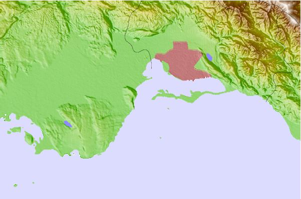
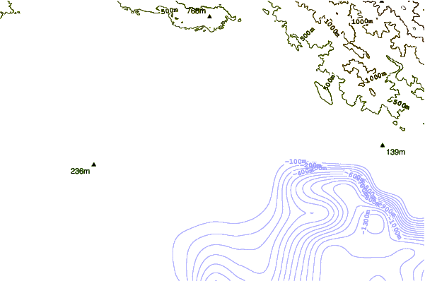
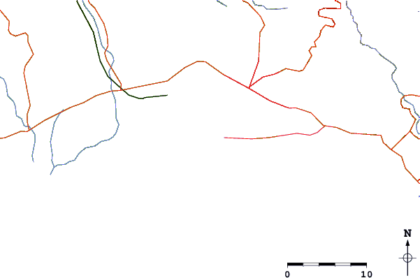
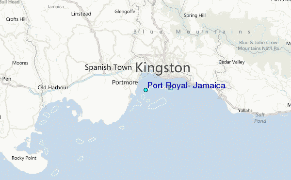
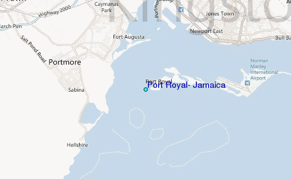
Use this relief map to navigate to tide stations, surf breaks and cities that are in the area of Port Royal, Jamaica.
Other Nearby Locations' tide tables and tide charts to Port Royal, Jamaica:
click location name for more details
 Surf breaks close to Port Royal, Jamaica:
|
||
|---|---|---|
| Closest surf break | Lighthouse 2 | 5 mi |
| Second closest surf break | Zoo (Bull Bay) | 9 mi |
| Third closest surf break | Copa (Bull Bay) | 11 mi |
| Fourth closest surf break | Makka | 18 mi |
| Fifth closest surf break | Peenie Wally | 24 mi |


 Nearest
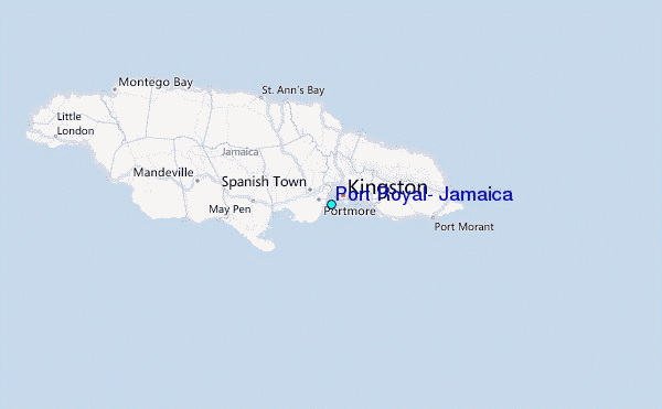