
| Distance / Altitude | Location | Report Date / Time | Live Weather | Wind | Gusts | Temp. | Visibility | Cloud |
|---|---|---|---|---|---|---|---|---|
| 14 km WNW / 3 m | BUOY-GPXA2 (Marine) | 2026-04-03 21:32 local (2026/04/04 05:32 GMT) | calm (2 km/h at 310) | 4°C | - | |||
| 15 km SSE / 3 m | BUOY-MIXA2 (Marine) | 2026-04-03 21:32 local (2026/04/04 05:32 GMT) | light winds from the SE (15 km/h at 130) | 4°C | - | |||
| 28 km WNW / 3 m | BUOY-PAXA2 (Marine) | 2026-04-03 21:32 local (2026/04/04 05:32 GMT) | light winds from the ENE (11 km/h at 70) | 2°C | - | |||
| 30 km NW / 3 m | BUOY-PBPA2 (Marine) | 2026-04-03 21:10 local (2026/04/04 05:10 GMT) | light winds from the NE (13 km/h at 40) | 2°C | - | |||
| 34 km WNW / 3 m | BUOY-MRNA2 (Marine) | 2026-04-03 21:32 local (2026/04/04 05:32 GMT) | calm (2 km/h at 200) | 3°C | - | |||
| 47 km WNW / 3 m | BUOY-AJXA2 (Marine) | 2026-04-03 21:32 local (2026/04/04 05:32 GMT) | calm (5 km/h at 90) | 3°C | - | |||
| 47 km WNW / 3 m | BUOY-JNGA2 (Marine) | 2026-04-03 21:32 local (2026/04/04 05:32 GMT) | calm (2 km/h at 90) | 3°C | - | |||
| 47 km WNW / 3 m | BUOY-JMLA2 (Marine) | 2026-04-03 21:32 local (2026/04/04 05:32 GMT) | calm (5 km/h at 120) | 3°C | - | |||
| 48 km WNW / 3 m | BUOY-JNEA2 (Marine) | 2026-04-03 21:00 local (2026/04/04 05:00 GMT) | calm (4 km/h at 130) | 3°C | - | |||
| 48 km WNW / - m | SHIP1292 (ocean) | 2026-04-03 20:00 local (2026/04/04 04:00 GMT) | - | light winds from the ESE (7 km/h at 120) | 4°C | - | no observation |
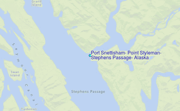
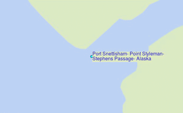
Choose Port Snettisham, Point Styleman, Stephens Passage, Alaska Location Map Zoom:
| Contours: | Roads & Rivers: | Select a
tide station / surf break / city |
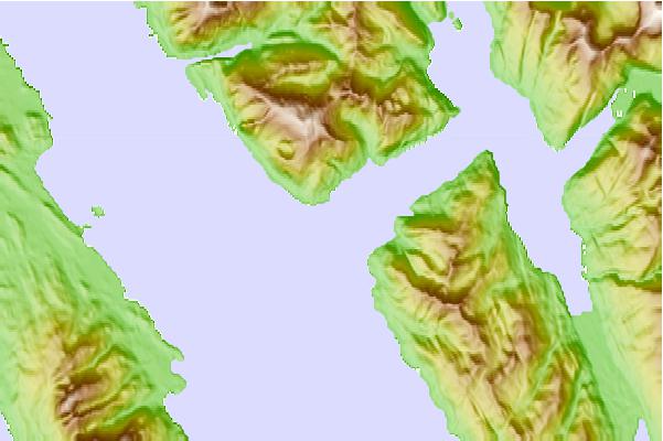
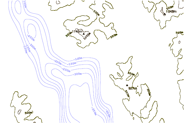
Use this relief map to navigate to tide stations, surf breaks and cities that are in the area of Port Snettisham, Point Styleman, Stephens Passage, Alaska.
Other Nearby Locations' tide tables and tide charts to Port Snettisham, Point Styleman, Stephens Passage, Alaska:
click location name for more details
 Surf breaks close to Port Snettisham, Point Styleman, Stephens Passage, Alaska:
|
||
|---|---|---|
| Closest surf break | Cannon Beach | 236 mi |
| Second closest surf break | Graveyards | 239 mi |
| Third closest surf break | Ocean Cape | 241 mi |
| Fourth closest surf break | Lepus Beach (Haida-Gwaii) | 265 mi |
| Fifth closest surf break | Tow Hill Beach | 280 mi |


 Nearest
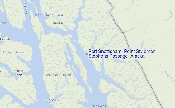