
| Distance / Altitude | Location | Report Date / Time | Live Weather | Wind | Gusts | Temp. | Visibility | Cloud |
|---|---|---|---|---|---|---|---|---|
| 26 km NE / 32 m | Minlaton Aero (Australia) | 2026-03-07 14:30 local (2026/03/07 04:00 GMT) | no report | moderate winds from the SSE (26 km/h at 150) | 23°C | - | - no observation - | |
| 40 km ESE / 240 m | Edithburgh (Australia) | 2026-03-07 14:30 local (2026/03/07 04:00 GMT) | - | moderate winds from the SSE (20 km/h at 160) | 21°C | - | - no observation - | |
| 54 km SSW / 44 m | Stenhouse Bay (Australia) | 2026-03-07 14:30 local (2026/03/07 04:00 GMT) | no report | light winds from the S (11 km/h at 190) | 22°C | - | - no observation - | |
| 88 km S / 7 m | KingstoneAero (Australia) | 2026-03-07 14:30 local (2026/03/07 04:00 GMT) | - | moderate winds from the SSE (20 km/h at 160) | 21°C | - | no observation | |
| 93 km NE / 4 m | Port Price wx (Australia) | 2026-03-07 14:31 local (2026/03/07 04:01 GMT) | dry | moderate winds from the SSE (26 km/h at 151) | 23°C | - | - - 0 | |
| 96 km S / 165 m | ParndanaCfsAws (Australia) | 2026-03-07 14:30 local (2026/03/07 04:00 GMT) | - | moderate winds from the S (20 km/h at 180) | 19°C | - | no observation | |
| 99 km ENE / 3 m | SHIP9699 (Marine) | 2026-03-07 12:30 local (2026/03/07 02:00 GMT) | - (- km/h at -) | 21°C | - | |||
| 99 km ENE / 15 m | SHIP1991 (Marine) | 2026-03-07 12:30 local (2026/03/07 02:00 GMT) | - (- km/h at -) | — | - km | |||
| 99 km ENE / 15 m | SHIP3688 (Marine) | 2026-03-07 12:30 local (2026/03/07 02:00 GMT) | - (- km/h at -) | — | - km | |||
| 99 km ENE / 15 m | SHIP5624 (Marine) | 2026-03-07 12:30 local (2026/03/07 02:00 GMT) | - (- km/h at -) | — | - km |
| Contours: | Roads & Rivers: | Select a
tide station / surf break / city |
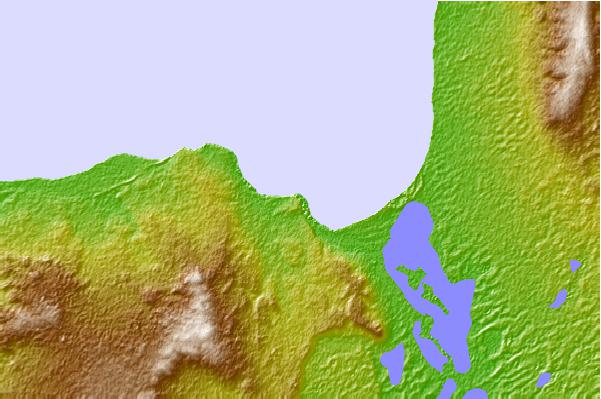
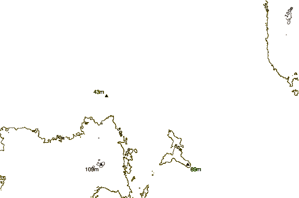
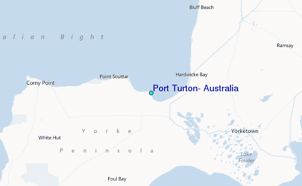
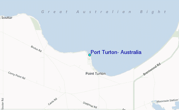
Use this relief map to navigate to tide stations, surf breaks and cities that are in the area of Port Turton, Australia.
Other Nearby Locations' tide tables and tide charts to Port Turton, Australia:
click location name for more details
 Surf breaks close to Port Turton, Australia:
|
||
|---|---|---|
| Closest surf break | Berry Bay | 19 mi |
| Second closest surf break | Spits | 23 mi |
| Third closest surf break | Daly Heads | 24 mi |
| Fourth closest surf break | Salmon Hole | 24 mi |
| Fifth closest surf break | Troubridge Point | 25 mi |


 Nearest