
| Distance / Altitude | Location | Report Date / Time | Live Weather | Wind | Gusts | Temp. | Visibility | Cloud |
|---|---|---|---|---|---|---|---|---|
| 2 km E / 30 m | Port-Aux-Francais (Iles Kerguelen) (France) | 2025-12-26 10:00 local (2025/12/26 05:00 GMT) | - | light winds from the SSW (13 km/h at 200) | 8°C | - | no observation | |
| 178 km WNW / 15 m | ASCATB69E48S (Marine) | 2025-12-26 08:24 local (2025/12/26 03:24 GMT) | light winds from the SE (13 km/h at 138) | — | - km | |||
| 187 km WSW / 15 m | ASCATB68E49S (Marine) | 2025-12-26 08:24 local (2025/12/26 03:24 GMT) | light winds from the SSE (12 km/h at 146) | — | - km | |||
| 211 km W / 15 m | ASCATB68E48S (Marine) | 2025-12-26 08:24 local (2025/12/26 03:24 GMT) | light winds from the SE (13 km/h at 138) | — | - km | |||
| 217 km SW / 15 m | ASCATB68E50S (Marine) | 2025-12-26 08:25 local (2025/12/26 03:25 GMT) | light winds from the WSW (15 km/h at 258) | — | - km | |||
| 248 km NW / 15 m | ASCATB69E47S (Marine) | 2025-12-26 08:24 local (2025/12/26 03:24 GMT) | light winds from the ESE (15 km/h at 119) | — | - km | |||
| 266 km WSW / 15 m | ASCATB67E49S (Marine) | 2025-12-26 08:25 local (2025/12/26 03:25 GMT) | light winds from the SSE (8 km/h at 157) | — | - km | |||
| 285 km W / 15 m | ASCATB67E48S (Marine) | 2025-12-26 08:24 local (2025/12/26 03:24 GMT) | light winds from the SE (12 km/h at 133) | — | - km | |||
| 288 km SW / 15 m | ASCATB67E50S (Marine) | 2025-12-26 08:25 local (2025/12/26 03:25 GMT) | light winds from the W (15 km/h at 267) | — | - km | |||
| 295 km WNW / 15 m | ASCATB68E47S (Marine) | 2025-12-26 08:24 local (2025/12/26 03:24 GMT) | moderate winds from the ESE (21 km/h at 122) | — | - km |
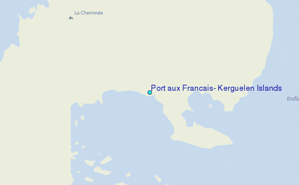
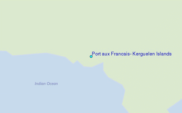
Choose Port aux Francais, Kerguelen Islands Location Map Zoom:
| Contours: | Roads & Rivers: | Select a
tide station / surf break / city |
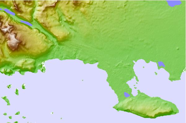
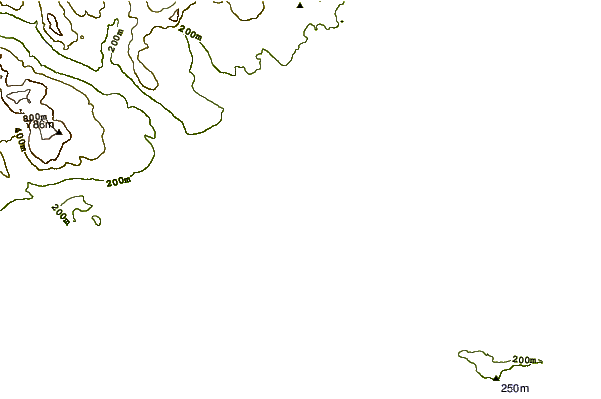

Use this relief map to navigate to tide stations, surf breaks and cities that are in the area of Port aux Francais, Kerguelen Islands.
Other Nearby Locations' tide tables and tide charts to Port aux Francais, Kerguelen Islands:
click location name for more details
 Surf breaks close to Port aux Francais, Kerguelen Islands:
|
||
|---|---|---|
| Closest surf break | Baie des Singes | 2094 mi |
| Second closest surf break | Evatra | 2094 mi |
| Third closest surf break | Monseigneur Bay | 2094 mi |
| Fourth closest surf break | Ambinanibe | 2095 mi |
| Fifth closest surf break | Libanona Beach | 2095 mi |


 Nearest
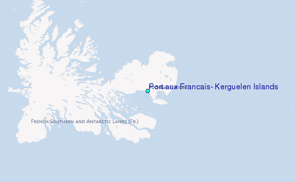