
| Distance / Altitude | Location | Report Date / Time | Live Weather | Wind | Gusts | Temp. | Visibility | Cloud |
|---|---|---|---|---|---|---|---|---|
| 11 km S / 218 m | West Palm Beach Airport (Florida) | 2026-06-07 18:53 local (2026/06/07 22:53 GMT) | Dry and partly cloudy | moderate winds from the E (20 km/h at 80) | 29°C | 16 | scattered scattered broken | |
| 14 km N / 4 m | Paradise Port wx (United States) | 2026-06-07 20:24 local (2026/06/08 00:24 GMT) | dry | calm (5 km/h at 98) | 27°C | - | - - 0 | |
| 15 km S / 4 m | Palm Beach (Florida) | 2026-06-07 20:17 local (2026/06/08 00:17 GMT) | dry | wind obs. (10 kph from 111 degs) was rejected (- km/h at -) | 27°C | - | - - 0 | |
| 16 km NW / 5 m | North Palm Beach Heights wx (United States) | 2026-06-07 20:35 local (2026/06/08 00:35 GMT) | dry | light winds from the ENE (6 km/h at 75) | 27°C | - | - - 0 | |
| 18 km WSW / 4 m | The Acreage wx (United States) | 2026-06-07 20:18 local (2026/06/08 00:18 GMT) | dry | calm (0 km/h at 107) | 26°C | - | - - 0 | |
| 18 km S / 3 m | BUOY-LKWF1 (Marine) | 2026-06-07 20:00 local (2026/06/08 00:00 GMT) | moderate winds from the E (24 km/h at 80) | 28°C | - | |||
| 18 km NW / 5 m | Jupiter (Florida) | 2026-06-07 20:36 local (2026/06/08 00:36 GMT) | dry | calm (3 km/h at 135) | 27°C | - | - - 0 | |
| 19 km W / 7 m | West Palm Beach (FL) (Florida) | 2026-06-07 19:35 local (2026/06/07 23:35 GMT) | Clear | moderate winds from the E (22 km/h at 80) | 27°C | 16 | ||
| 19 km S / 5 m | West Palm Beach (FL) (Florida) | 2026-06-07 19:35 local (2026/06/07 23:35 GMT) | Clear | light winds from the ENE (19 km/h at 70) | 29°C | 16 | ||
| 19 km NW / 5 m | West Jupiter wx (United States) | 2026-06-07 18:07 local (2026/06/07 22:07 GMT) | dry | calm (3 km/h at 80) | 28°C | - | - - 0 |
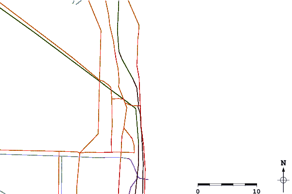
| Contours: | Roads & Rivers: | Select a
tide station / surf break / city |
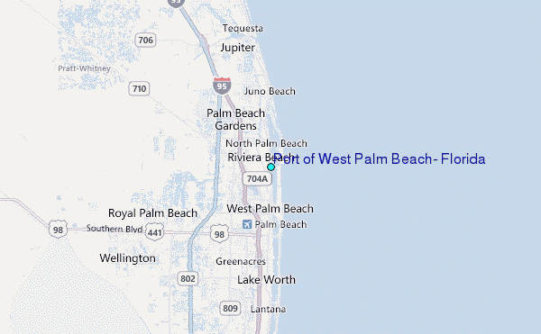
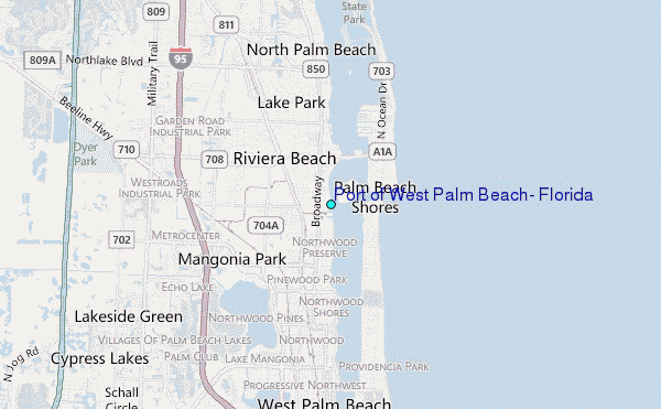
Use this relief map to navigate to tide stations, surf breaks and cities that are in the area of Port of West Palm Beach, Florida.
Other Nearby Locations' tide tables and tide charts to Port of West Palm Beach, Florida:
click location name for more details
 Surf breaks close to Port of West Palm Beach, Florida:
|
||
|---|---|---|
| Closest surf break | Reef Road | 1 mi |
| Second closest surf break | Ocean Reef Park | 2 mi |
| Third closest surf break | The Cove | 3 mi |
| Fourth closest surf break | Palm Beach Jetties | 4 mi |
| Fifth closest surf break | Flagpoles | 5 mi |


 Nearest
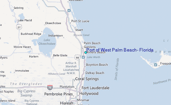