
| Distance / Altitude | Location | Report Date / Time | Live Weather | Wind | Gusts | Temp. | Visibility | Cloud |
|---|---|---|---|---|---|---|---|---|
| 14 km SSE / 219 m | Bristol/Lulsgate Airport (United Kingdom) | 2026-06-27 00:20 local (2026/06/26 23:20 GMT) | Dry and partly cloudy | light winds from the SW (7 km/h at 230) | 17°C | 10.0 | no cloud | |
| 41 km SSW / 3 m | Hinkley Point 2 Waverider (Marine) | 2026-06-26 22:30 local (2026/06/26 21:30 GMT) | - (- km/h at -) | — | - | |||
| 41 km NW / 550 m | Blorenge (United Kingdom) | 2026-06-27 01:00 local (2026/06/27 00:00 GMT) | - | strong winds from the SW (46 km/h at 215) | 15°C | - | - - 0 | |
| 42 km WSW / 80 m | Llantrithyd Park (United Kingdom) | 2026-06-27 01:00 local (2026/06/27 00:00 GMT) | - | calm (2 km/h at 245) | 15°C | - | - - 0 | |
| 42 km SW / 209 m | Cardiff-Wales Airport (United Kingdom) | 2026-06-27 00:20 local (2026/06/26 23:20 GMT) | Dry and partly cloudy | calm (2 km/h at 210) | 17°C | 10.0 | no cloud | |
| 47 km SW / 49 m | St Athan (United Kingdom) | 2026-06-27 00:00 local (2026/06/26 23:00 GMT) | no report | wind obs. (9 kph from 160 degs) was rejected (- km/h at -) | 19°C | 35 | - | |
| 52 km ESE / 210 m | Edington Airstrip (United Kingdom) | 2026-06-27 01:00 local (2026/06/27 00:00 GMT) | - | light winds from the WNW (6 km/h at 287) | 17°C | - | - - 0 | |
| 54 km E / 145 m | Lyneham (United Kingdom) | 2026-06-27 00:00 local (2026/06/26 23:00 GMT) | no report | - (- km/h at -) | 19°C | - | - | |
| 55 km SSE / 215 m | Yeovilton (Navy) Airport (United Kingdom) | 2026-06-27 00:20 local (2026/06/26 23:20 GMT) | Dry and partly cloudy | calm (2 km/h at 150) | 17°C | 10.0 | no cloud | |
| 66 km SSE / 66 m | Sturminster Newton (United Kingdom) | 2026-06-27 00:32 local (2026/06/26 23:32 GMT) | dry | calm (2 km/h at 1) | 16°C | - | - - 0 |
| Contours: | Roads & Rivers: | Select a
tide station / surf break / city |
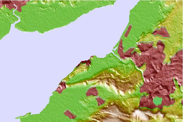
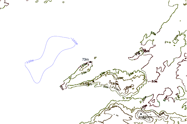
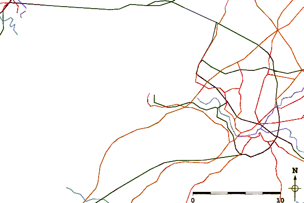
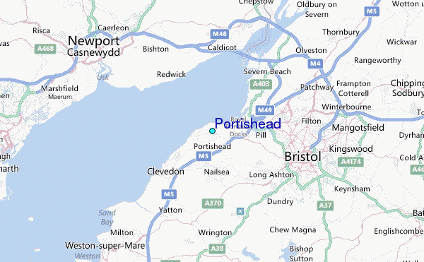
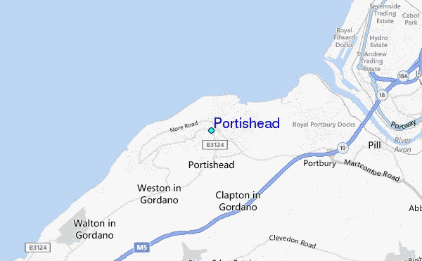
Use this relief map to navigate to tide stations, surf breaks and cities that are in the area of Portishead.
Other Nearby Locations' tide tables and tide charts to Portishead:
click location name for more details
 Surf breaks close to Portishead:
|
||
|---|---|---|
| Closest surf break | The Knap | 24 mi |
| Second closest surf break | Gileston | 29 mi |
| Third closest surf break | Llantwit Major | 32 mi |
| Fourth closest surf break | Southerndown | 36 mi |
| Fifth closest surf break | Ogmore-by-Sea | 37 mi |


 Nearest
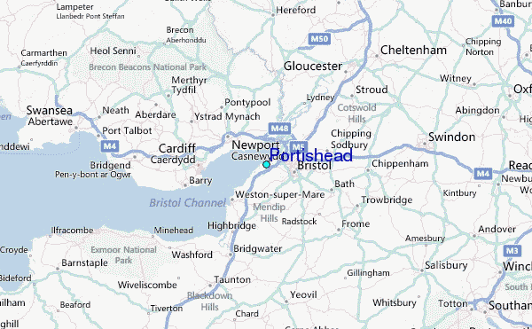