
| Distance / Altitude | Location | Report Date / Time | Live Weather | Wind | Gusts | Temp. | Visibility | Cloud |
|---|---|---|---|---|---|---|---|---|
| 9 km ENE / 15 m | SHIP5738 (Marine) | 2026-02-16 23:00 local (2026/02/16 23:00 GMT) | - (- km/h at -) | — | - km | |||
| 9 km W / 31 m | Peterculter wx (United Kingdom) | 2026-02-17 01:32 local (2026/02/17 01:32 GMT) | - | wind obs. (6 kph from 298 degs) was rejected (- km/h at -) | 2°C | - | - - 0 | |
| 9 km ENE / 3 m | SHIP5034 (Marine) | 2026-02-16 23:00 local (2026/02/16 23:00 GMT) | - (- km/h at -) | 3°C | - | |||
| 9 km W / 31 m | Peterculter wx (United Kingdom) | 2026-02-17 01:32 local (2026/02/17 01:32 GMT) | - | wind obs. (6 kph from 298 degs) was rejected (- km/h at -) | 2°C | - | - - 0 | |
| 9 km ENE / 3 m | SHIP2346 (Marine) | 2026-02-16 23:00 local (2026/02/16 23:00 GMT) | - (- km/h at -) | 3°C | - | |||
| 9 km ENE / 3 m | SHIP7252 (Marine) | 2026-02-16 23:00 local (2026/02/16 23:00 GMT) | - (- km/h at -) | 3°C | - | |||
| 9 km ENE / 3 m | SHIP3139 (Marine) | 2026-02-16 23:00 local (2026/02/16 23:00 GMT) | - (- km/h at -) | 3°C | - | |||
| 9 km ENE / 3 m | SHIP2593 (Marine) | 2026-02-17 01:00 local (2026/02/17 01:00 GMT) | - (- km/h at -) | 3°C | - | |||
| 9 km ENE / 3 m | SHIP4695 (Marine) | 2026-02-16 23:00 local (2026/02/16 23:00 GMT) | - (- km/h at -) | 3°C | - | |||
| 9 km ENE / 3 m | SHIP1869 (Marine) | 2026-02-17 00:00 local (2026/02/17 00:00 GMT) | - (- km/h at -) | 4°C | - |
| Contours: | Roads & Rivers: | Select a
tide station / surf break / city |
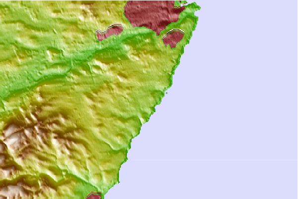
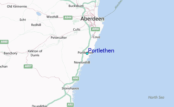
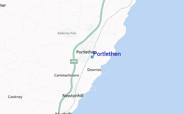
Use this relief map to navigate to tide stations, surf breaks and cities that are in the area of Portlethen.
Other Nearby Locations' tide tables and tide charts to Portlethen:
click location name for more details
 Surf breaks close to Portlethen:
|
||
|---|---|---|
| Closest surf break | Nigg Bay | 6 mi |
| Second closest surf break | Stonehaven | 7 mi |
| Third closest surf break | The Harbour | 7 mi |
| Fourth closest surf break | Aberdeen | 8 mi |
| Fifth closest surf break | Inverbervie | 16 mi |


 Nearest
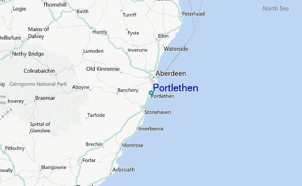