
| Distance / Altitude | Location | Report Date / Time | Live Weather | Wind | Gusts | Temp. | Visibility | Cloud |
|---|---|---|---|---|---|---|---|---|
| 9 km W / 76 m | Twickenham Park wx (Jamaica) | 2026-04-04 17:02 local (2026/04/04 22:02 GMT) | dry | calm (0 km/h at 250) | 25°C | - | - - 0 | |
| 11 km ESE / 191 m | Kingston/Norman Manley International Airport (Jamaica) | 2026-04-04 17:00 local (2026/04/04 22:00 GMT) | - | light winds from the NW (13 km/h at 320) | 28°C | - | - no observation - | |
| 85 km W / 452 m | lightning 8km N of Balaclava (Jamaica) | 2026-04-04 15:47 local (2026/04/04 20:47 GMT) | Thunderstorm | (- km/h at -) | — | |||
| 126 km W / 193 m | Sangster/Montego Bay Airport (Jamaica) | 2026-04-04 16:00 local (2026/04/04 21:00 GMT) | - | moderate winds from the ENE (28 km/h at 60) | 28°C | 10.0 | few | |
| 162 km W / 30 m | Negril (Jamaica) | 2026-04-04 17:47 local (2026/04/04 22:47 GMT) | dry | calm (2 km/h at 42) | 29°C | - | - - 0 | |
| 246 km NNE / 209 m | Santiago De Cuba Airport (Cuba) | 2026-04-04 15:50 local (2026/04/04 20:50 GMT) | - | calm (0 km/h at 0) | — | 0.0 | ||
| 261 km NNE / 140 m | lightning 9km ESE of Contramaestre (Cuba) | 2026-04-04 17:21 local (2026/04/04 22:21 GMT) | Thunderstorm | (- km/h at -) | — | |||
| 268 km NNE / 207 m | lightning 13km NW of Palma Soriano (Cuba) | 2026-04-04 16:48 local (2026/04/04 21:48 GMT) | Thunderstorm | (- km/h at -) | — | |||
| 274 km NE / 203 m | Guantanamo Bay Airport (Cuba) | 2026-04-04 15:51 local (2026/04/04 20:51 GMT) | - | moderate winds from the E (22 km/h at 100) | 28°C | 16 | few | |
| 302 km N / 30 m | lightning 35km N of Bayamo (Cuba) | 2026-04-04 16:46 local (2026/04/04 21:46 GMT) | Thunderstorm | (- km/h at -) | — |
| Contours: | Roads & Rivers: | Select a
tide station / surf break / city |
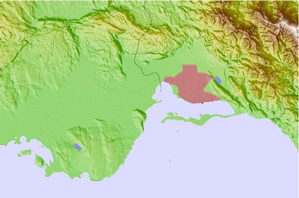
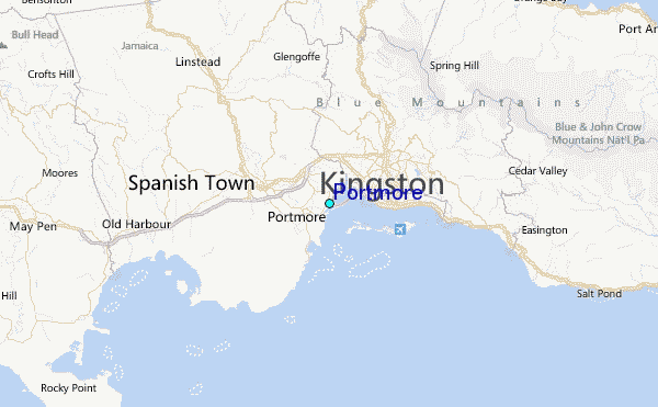
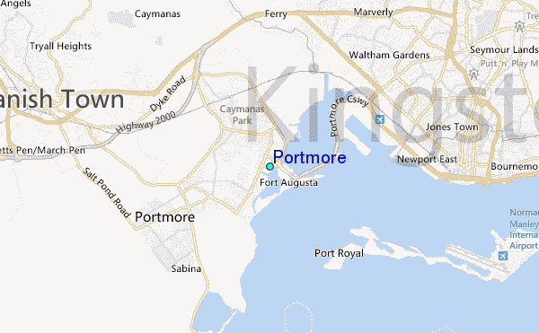
Use this relief map to navigate to tide stations, surf breaks and cities that are in the area of Portmore.
Other Nearby Locations' tide tables and tide charts to Portmore:
click location name for more details
 Surf breaks close to Portmore:
|
||
|---|---|---|
| Closest surf break | Lighthouse 2 | 7 mi |
| Second closest surf break | Zoo (Bull Bay) | 10 mi |
| Third closest surf break | Copa (Bull Bay) | 12 mi |
| Fourth closest surf break | Makka | 20 mi |
| Fifth closest surf break | Peenie Wally | 23 mi |


 Nearest
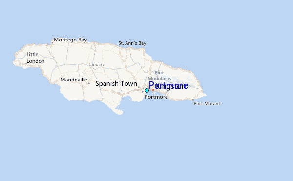