
| Distance / Altitude | Location | Report Date / Time | Live Weather | Wind | Gusts | Temp. | Visibility | Cloud |
|---|---|---|---|---|---|---|---|---|
| 2 km E / 446 m | Pemba Airport (Mozambique) | 2025-12-26 01:00 local (2025/12/25 23:00 GMT) | - | calm (0 km/h at 0) | 27°C | 10.0 | few | |
| 268 km S / 323 m | Nampula Airport (Mozambique) | 2025-12-26 00:00 local (2025/12/25 22:00 GMT) | Dry and partly cloudy | light winds from the N (13 km/h at 10) | 23°C | 10.0 | broken | |
| 301 km N / 277 m | Mtwara (Tanzania) | 2025-12-26 00:00 local (2025/12/25 22:00 GMT) | Dry and partly cloudy | light winds from the NNE (9 km/h at 20) | 27°C | 10.0 | scattered - - | |
| 319 km WSW / 756 m | Marrupa (Mozambique) | 2025-12-25 23:00 local (2025/12/25 21:00 GMT) | no report | wind obs. (11 kph from 130 degs) was rejected (- km/h at -) | 27°C | 20 | - | |
| 520 km E / 411 m | Dzaoudzi/Pamanzi Airport (Comoros) | 2025-12-26 00:30 local (2025/12/25 22:30 GMT) | - | light winds from the NNE (11 km/h at 20) | — | 0.0 | ||
| 568 km WSW / 1382 m | Lichinga (Mozambique) | 2025-12-25 23:00 local (2025/12/25 21:00 GMT) | no report | light winds from the E (17 km/h at 90) | 22°C | 20 | - | |
| 568 km WSW / 1359 m | Lichinga Airport (Mozambique) | 2025-12-26 00:00 local (2025/12/25 22:00 GMT) | Dry and partly cloudy | light winds from the NNW (15 km/h at 330) | 18°C | 10.0 | scattered broken few | |
| 593 km W / 1062 m | Songea Airport (Tanzania) | 2025-12-26 00:00 local (2025/12/25 22:00 GMT) | Dry and partly cloudy | wind obs. (6 kph from 70 degs) was rejected (- km/h at -) | 22°C | 10.0 | scattered few | |
| 667 km SSW / 505 m | Quelimane (Mozambique) | 2025-12-26 01:00 local (2025/12/25 23:00 GMT) | Dry and partly cloudy | calm (0 km/h at 0) | 25°C | 10.0 | broken scattered | |
| 667 km SSW / 505 m | Quelimane Airport (Mozambique) | 2025-12-26 01:00 local (2025/12/25 23:00 GMT) | Dry and partly cloudy | calm (0 km/h at 0) | 25°C | 10.0 | broken scattered |
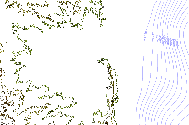
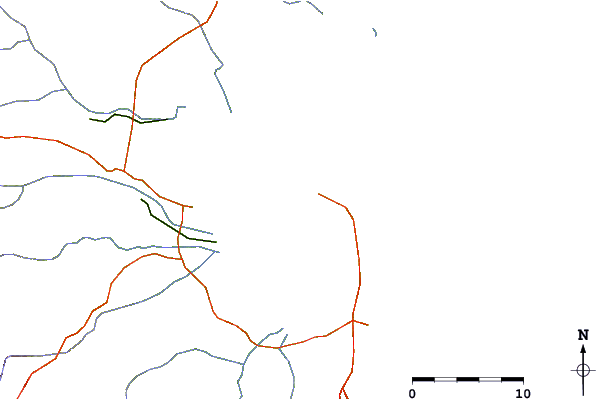
| Contours: | Roads & Rivers: | Select a
tide station / surf break / city |
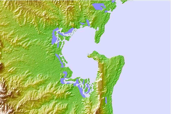
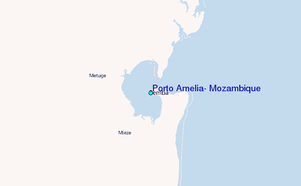
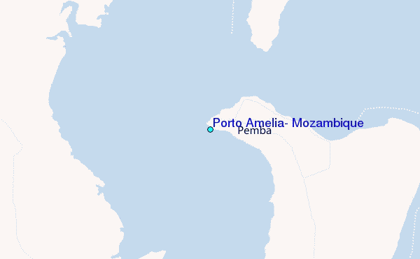
Use this relief map to navigate to tide stations, surf breaks and cities that are in the area of Porto Amelia, Mozambique.
Other Nearby Locations' tide tables and tide charts to Porto Amelia, Mozambique:
click location name for more details
 Surf breaks close to Porto Amelia, Mozambique:
|
||
|---|---|---|
| Closest surf break | Oyster Bay Beach - Coco Beach | 436 mi |
| Second closest surf break | Sea Cliff | 438 mi |
| Third closest surf break | Jam's Right | 440 mi |
| Fourth closest surf break | Nungwi Reefs | 508 mi |
| Fifth closest surf break | Mombasa Channel | 617 mi |


 Nearest
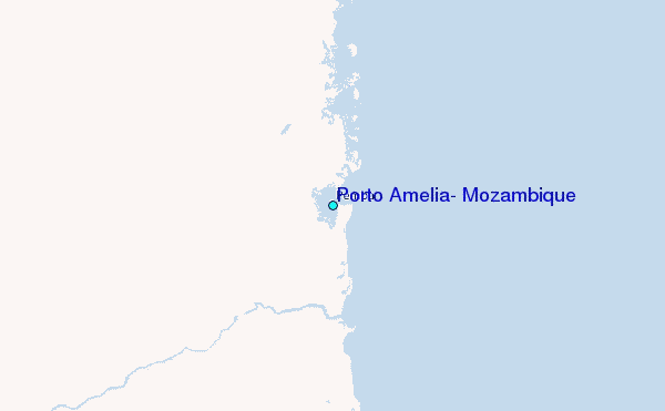