
| Distance / Altitude | Location | Report Date / Time | Live Weather | Wind | Gusts | Temp. | Visibility | Cloud |
|---|---|---|---|---|---|---|---|---|
| 10 km ENE / 64 m | Causeway Head wx (United Kingdom) | 2026-02-13 23:34 local (2026/02/13 23:34 GMT) | dry | light winds from the NNW (6 km/h at 331) | 6°C | - | - - 0 | |
| 20 km SW / 4 m | Magilligan Number 2 (United Kingdom) | 2026-02-14 01:00 local (2026/02/14 01:00 GMT) | Rain and snow or hail | light winds from the SW (15 km/h at 220) | 0°C | 43 km | - few - | |
| 31 km E / 238 m | Ballypatrick Forest (United Kingdom) | 2026-02-14 01:00 local (2026/02/14 01:00 GMT) | Rain | light winds from the WSW (13 km/h at 240) | 1°C | >70 km | scattered | |
| 40 km SSE / 238 m | Portglenone (United Kingdom) | 2026-02-14 01:00 local (2026/02/14 01:00 GMT) | Rain | light winds from the SSE (6 km/h at 160) | -1°C | 43 km | - clear - | |
| 47 km W / 116 m | Malin Head (Ireland) | 2026-02-14 00:00 local (2026/02/14 00:00 GMT) | Clouds dissolving | light winds from the WNW (18 km/h at 300) | 3°C | 45 km | - no observation - | |
| 54 km S / 225 m | LoughFea (United Kingdom) | 2026-02-14 01:00 local (2026/02/14 01:00 GMT) | Rain | light winds from the NW (6 km/h at 310) | -1°C | 35 km | - few - | |
| 58 km NNE / 215 m | Islay Port Ellen (United Kingdom) | 2026-02-14 00:20 local (2026/02/14 00:20 GMT) | Dry and partly cloudy | calm (4 km/h at 1) | -2°C | 10.0 | few few broken | |
| 59 km NNE / 17 m | Islay:portEllen (United Kingdom) | 2026-02-14 01:00 local (2026/02/14 01:00 GMT) | - | calm (4 km/h at 20) | -3°C | >70 km | - clear - | |
| 60 km SE / 460 m | 1756 (United Kingdom) | 2026-02-14 01:00 local (2026/02/14 01:00 GMT) | - | wind obs. (35 kph from 286 degs) was rejected (- km/h at -) | -1°C | - | - - 0 | |
| 66 km ENE / 13 m | Machrihanish (United Kingdom) | 2026-02-14 01:00 local (2026/02/14 01:00 GMT) | - | wind obs. (17 kph from 150 degs) was rejected (- km/h at -) | — | 24 | - clear - |
| Contours: | Roads & Rivers: | Select a
tide station / surf break / city |
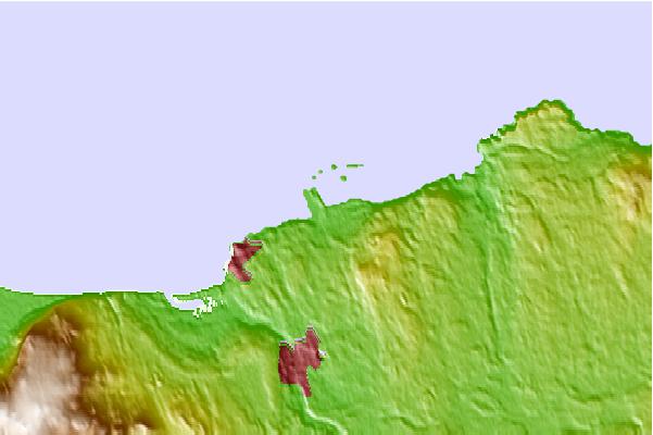
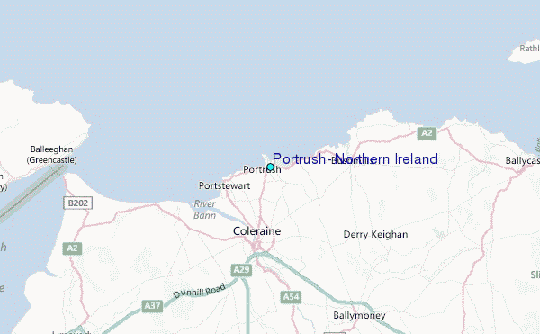
Use this relief map to navigate to tide stations, surf breaks and cities that are in the area of Portrush, Northern Ireland.
Other Nearby Locations' tide tables and tide charts to Portrush, Northern Ireland:
click location name for more details
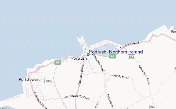
 Surf breaks close to Portrush, Northern Ireland:
|
||
|---|---|---|
| Closest surf break | Black Rocks | 1 mi |
| Second closest surf break | Portrush-East Strand | 1 mi |
| Third closest surf break | Portrush-West Strand | 1 mi |
| Fourth closest surf break | White Rocks | 3 mi |
| Fifth closest surf break | Portstewart Strand | 4 mi |


 Nearest
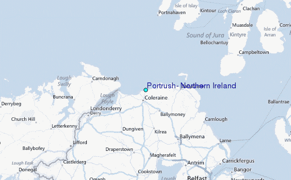