
| Distance / Altitude | Location | Report Date / Time | Live Weather | Wind | Gusts | Temp. | Visibility | Cloud |
|---|---|---|---|---|---|---|---|---|
| 1 km E / 3 m | SHIP8566 (Marine) | 2026-05-11 18:00 local (2026/05/11 17:00 GMT) | - (- km/h at -) | 13°C | - | |||
| 13 km SE / 3 m | Hayling Island Waverider (Marine) | 2026-05-11 17:31 local (2026/05/11 16:31 GMT) | - (- km/h at -) | — | - | |||
| 16 km ENE / 28 m | Southbourne wx (United Kingdom) | 2026-05-11 18:46 local (2026/05/11 17:46 GMT) | dry | calm (3 km/h at 313) | 13°C | - | - - 0 | |
| 17 km S / 3 m | Sandown Bay Waverider (Marine) | 2026-05-11 18:02 local (2026/05/11 17:02 GMT) | - (- km/h at -) | — | - | |||
| 19 km E / 7 m | Chichester (United Kingdom) | 2026-05-11 18:23 local (2026/05/11 17:23 GMT) | dry | calm (3 km/h at 315) | 14°C | - | - - 0 | |
| 13 km SE / 3 m | Hayling Island Waverider (Marine) | 2026-05-11 17:31 local (2026/05/11 16:31 GMT) | - (- km/h at -) | — | - | |||
| 14 km SE / 3 m | SHIP7280 (Marine) | 2026-05-11 17:00 local (2026/05/11 16:00 GMT) | - (- km/h at -) | 12°C | - | |||
| 14 km SE / 3 m | SHIP4828 (Marine) | 2026-05-11 17:00 local (2026/05/11 16:00 GMT) | - (- km/h at -) | 12°C | - | |||
| 14 km SE / 3 m | SHIP6462 (Marine) | 2026-05-11 17:00 local (2026/05/11 16:00 GMT) | - (- km/h at -) | 12°C | - | |||
| 14 km SE / 15 m | SHIP9152 (Marine) | 2026-05-11 17:00 local (2026/05/11 16:00 GMT) | - (- km/h at -) | — | - km |
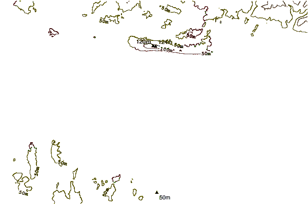
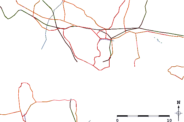
| Contours: | Roads & Rivers: | Select a
tide station / surf break / city |
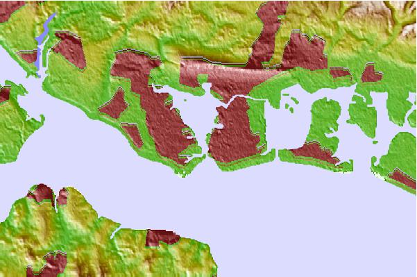
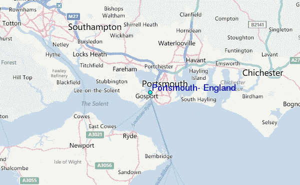
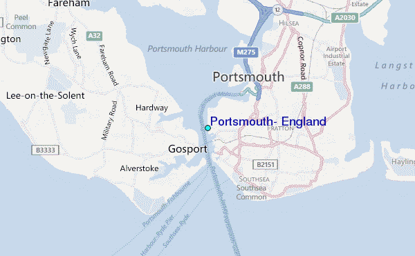
Use this relief map to navigate to tide stations, surf breaks and cities that are in the area of Portsmouth, England.
Other Nearby Locations' tide tables and tide charts to Portsmouth, England:
click location name for more details
 Surf breaks close to Portsmouth, England:
|
||
|---|---|---|
| Closest surf break | Hayling Island | 6 mi |
| Second closest surf break | West Wittering | 9 mi |
| Third closest surf break | Whitecliff Bay | 9 mi |
| Fourth closest surf break | East Wittering | 10 mi |
| Fifth closest surf break | Bracklesham | 11 mi |


 Nearest
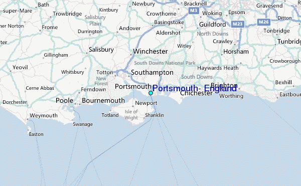