
| Distance / Altitude | Location | Report Date / Time | Live Weather | Wind | Gusts | Temp. | Visibility | Cloud |
|---|---|---|---|---|---|---|---|---|
| 14 km ENE / 64 m | Causeway Head wx (United Kingdom) | 2026-05-10 00:20 local (2026/05/09 23:20 GMT) | dry | light winds from the N (10 km/h at 1) | 8°C | - | - - 0 | |
| 53 km E / 3 m | SHIP6074 (Marine) | 2026-05-10 01:00 local (2026/05/10 00:00 GMT) | - (- km/h at -) | — | - | |||
| 61 km NE / 3 m | SHIP7943 (Marine) | 2026-05-10 01:00 local (2026/05/10 00:00 GMT) | - (- km/h at -) | 5°C | - | |||
| 61 km NE / 15 m | SHIP7398 (Marine) | 2026-05-09 23:00 local (2026/05/09 22:00 GMT) | - (- km/h at -) | — | - km | |||
| 61 km NE / 15 m | SHIP5652 (Marine) | 2026-05-09 23:00 local (2026/05/09 22:00 GMT) | - (- km/h at -) | — | - km | |||
| 61 km NE / 3 m | SHIP7130 (Marine) | 2026-05-09 23:00 local (2026/05/09 22:00 GMT) | - (- km/h at -) | 7°C | - | |||
| 61 km NE / 3 m | SHIP4475 (Marine) | 2026-05-09 23:00 local (2026/05/09 22:00 GMT) | - (- km/h at -) | 7°C | - | |||
| 61 km NE / 15 m | SHIP5155 (Marine) | 2026-05-10 00:00 local (2026/05/09 23:00 GMT) | - (- km/h at -) | — | - km | |||
| 61 km NE / 3 m | SHIP6080 (Marine) | 2026-05-10 01:00 local (2026/05/10 00:00 GMT) | - (- km/h at -) | 5°C | - | |||
| 61 km NE / 3 m | SHIP2169 (Marine) | 2026-05-10 00:00 local (2026/05/09 23:00 GMT) | - (- km/h at -) | 5°C | - |
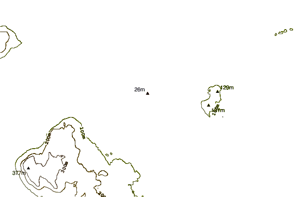
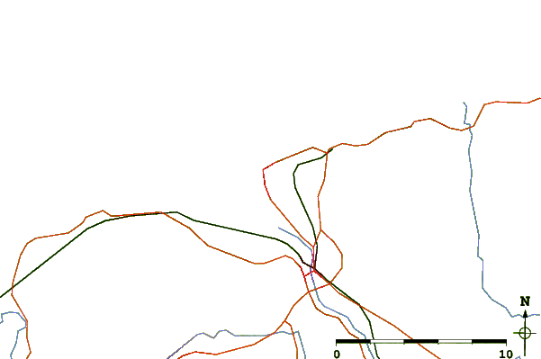
| Contours: | Roads & Rivers: | Select a
tide station / surf break / city |
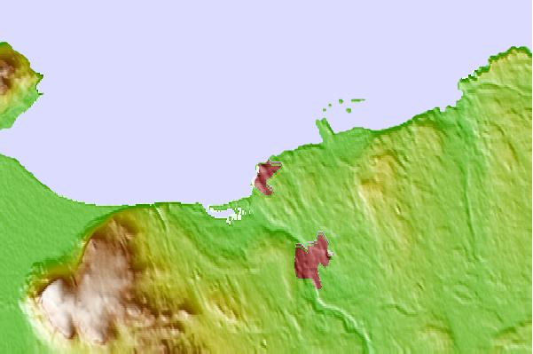
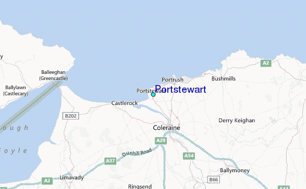
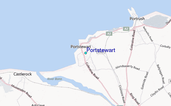
Use this relief map to navigate to tide stations, surf breaks and cities that are in the area of Portstewart.
Other Nearby Locations' tide tables and tide charts to Portstewart:
click location name for more details
 Surf breaks close to Portstewart:
|
||
|---|---|---|
| Closest surf break | Portstewart Strand | 1 mi |
| Second closest surf break | Black Rocks | 2 mi |
| Third closest surf break | Castlerock | 2 mi |
| Fourth closest surf break | Portrush-West Strand | 2 mi |
| Fifth closest surf break | Portrush-East Strand | 3 mi |


 Nearest
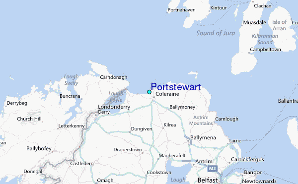