
| Distance / Altitude | Location | Report Date / Time | Live Weather | Wind | Gusts | Temp. | Visibility | Cloud |
|---|---|---|---|---|---|---|---|---|
| 23 km NW / - m | SHIP8397 (ocean) | 2024-04-25 06:00 local (2024/04/25 13:00 GMT) | - | moderate winds from the W (22 km/h at 280) | 13°C | - | no observation | |
| 23 km NW / - m | SHIP3854 (ocean) | 2024-04-25 07:00 local (2024/04/25 14:00 GMT) | - | moderate winds from the WNW (25 km/h at 290) | 13°C | - | no observation | |
| 23 km NW / - m | SHIP1460 (ocean) | 2024-04-25 07:00 local (2024/04/25 14:00 GMT) | - | moderate winds from the WNW (22 km/h at 290) | 13°C | - | no observation | |
| 23 km NW / - m | SHIP2763 (ocean) | 2024-04-25 08:00 local (2024/04/25 15:00 GMT) | - | light winds from the W (18 km/h at 280) | 13°C | - | no observation | |
| 23 km NW / - m | SHIP8713 (ocean) | 2024-04-25 06:00 local (2024/04/25 13:00 GMT) | - | moderate winds from the W (22 km/h at 280) | 13°C | - | no observation |
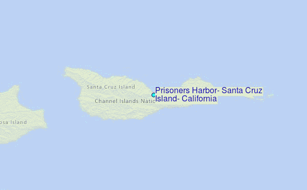
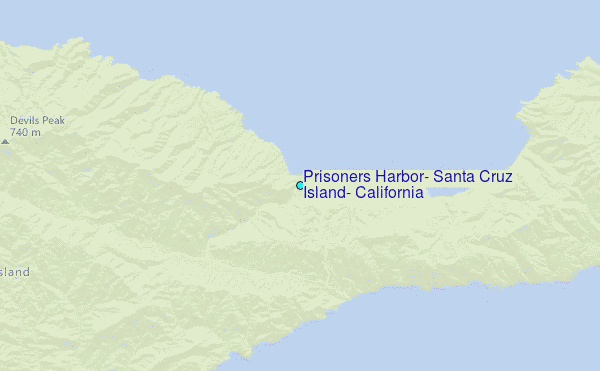
Choose Prisoners Harbor, Santa Cruz Island, California Location Map Zoom:
| Contours: | Roads & Rivers: | Select a
tide station / surf break / city |
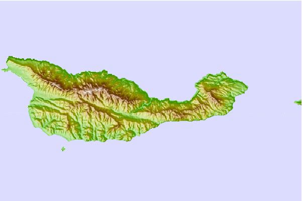
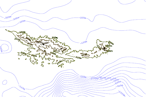
Use this relief map to navigate to tide stations, surf breaks and cities that are in the area of Prisoners Harbor, Santa Cruz Island, California.
Other Nearby Locations' tide tables and tide charts to Prisoners Harbor, Santa Cruz Island, California:
click location name for more details
 Surf breaks close to Prisoners Harbor, Santa Cruz Island, California:
|
||
|---|---|---|
| Closest surf break | Faria | 27 mi |
| Second closest surf break | Hendry's Beach | 27 mi |
| Third closest surf break | Leadbetter | 27 mi |
| Fourth closest surf break | Mesa | 27 mi |
| Fifth closest surf break | Pitas Point | 27 mi |

 Nearest
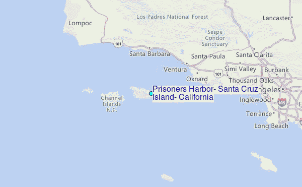