
| Distance / Altitude | Location | Report Date / Time | Live Weather | Wind | Gusts | Temp. | Visibility | Cloud |
|---|---|---|---|---|---|---|---|---|
| 59 km WNW / 2 m | Juanda Airport (Indonesia) | 2025-12-15 08:30 local (2025/12/15 01:30 GMT) | - | light winds from the WNW (6 km/h at 300) | 28°C | 30 km | few scattered - | |
| 75 km WNW / 3 m | SurabayaPerakI (Indonesia) | 2025-12-15 08:00 local (2025/12/15 01:00 GMT) | - | light winds from the WNW (11 km/h at 300) | 28°C | 30 km | - scattered - | |
| 152 km WNW / 42 m | Karang wx (Indonesia) | 2025-12-15 09:15 local (2025/12/15 02:15 GMT) | - | calm (0 km/h at 0) | 30°C | - | - - 0 | |
| 247 km ESE / 216 m | Bali International Airport (Indonesia) | 2025-12-15 08:30 local (2025/12/15 01:30 GMT) | - | light winds from the NNW (6 km/h at 330) | 30°C | 10.0 | few | |
| 249 km ESE / 1 m | DenpasarNgurahRai (Indonesia) | 2025-12-15 08:00 local (2025/12/15 01:00 GMT) | - | wind obs. (6 kph from 100 degs) was rejected (- km/h at -) | 30°C | 30 km | mostly cloudy | |
| 311 km W / 152 m | Bukitsari wx (Indonesia) | 2025-12-15 09:09 local (2025/12/15 02:09 GMT) | - | - (- km/h at ) | 27°C | - | - - 0 | |
| 311 km W / 152 m | Bukitsari wx (Indonesia) | 2025-12-15 08:02 local (2025/12/15 01:02 GMT) | - | - (- km/h at ) | 29°C | - | - - 0 | |
| 317 km W / 3 m | Achmad Yani (Indonesia) | 2025-12-15 08:00 local (2025/12/15 01:00 GMT) | - | light winds from the E (6 km/h at 90) | 27°C | 26 km | mostly cloudy | |
| 317 km W / 5 m | Ahmad Yani International Airport (Indonesia) | 2025-12-15 08:30 local (2025/12/15 01:30 GMT) | - | light winds from the E (6 km/h at 90) | 27°C | 26 km | few mostly cloudy - | |
| 354 km ENE / 0 m | lightning 215km N of Singaraja (Indonesia) | 2025-12-15 07:46 local (2025/12/15 00:46 GMT) | Thunderstorm | (- km/h at -) | — |
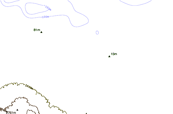
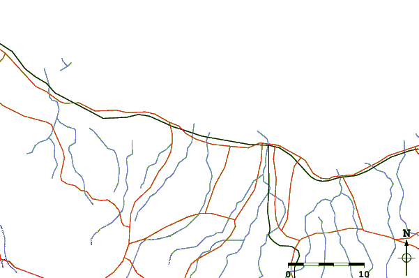
| Contours: | Roads & Rivers: | Select a
tide station / surf break / city |
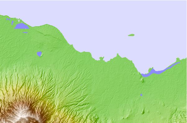
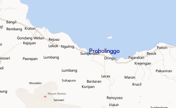
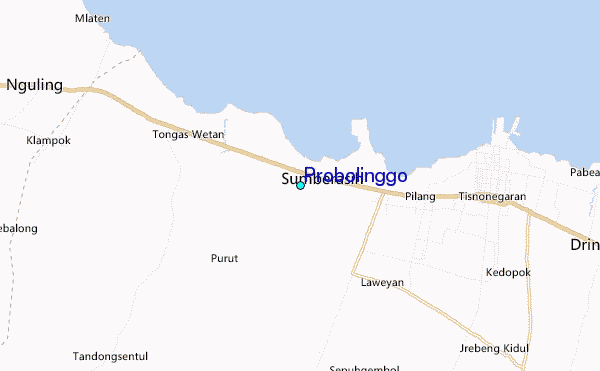
Use this relief map to navigate to tide stations, surf breaks and cities that are in the area of Probolinggo.
Other Nearby Locations' tide tables and tide charts to Probolinggo:
click location name for more details
 Surf breaks close to Probolinggo:
|
||
|---|---|---|
| Closest surf break | Grajagan Bay/G-Land | 107 mi |
| Second closest surf break | Tanjung Kucur | 110 mi |
| Third closest surf break | Medewi | 124 mi |
| Fourth closest surf break | Balian | 135 mi |
| Fifth closest surf break | Canggu | 150 mi |


 Nearest
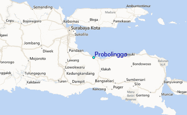