
| Distance / Altitude | Location | Report Date / Time | Live Weather | Wind | Gusts | Temp. | Visibility | Cloud |
|---|---|---|---|---|---|---|---|---|
| 146 km NE / 61 m | Puerto Penasco- Son. (Mexico) | 2025-12-21 04:00 local (2025/12/21 12:00 GMT) | no report | - (- km/h at -) | 27°C | 20 | - - - | |
| 148 km NE / 7.6 m | Puerto Penasco (Åland) | 2025-12-21 05:44 local (2025/12/21 13:44 GMT) | dry | wind obs. (11 kph from 15 degs) was rejected (- km/h at -) | 13°C | - | - - 0 | |
| 201 km SSW / 15 m | SHIP4433 (Marine) | 2025-12-21 04:00 local (2025/12/21 12:00 GMT) | - (- km/h at -) | — | - km | |||
| 229 km N / 70 m | Yuma (Arizona) | 2025-12-21 04:29 local (2025/12/21 12:29 GMT) | - | calm (0 km/h at 360) | — | - | - - 0 | |
| 254 km N / 218 m | Yuma Marine Corps Air Station Airport (Arizona) | 2025-12-21 04:57 local (2025/12/21 12:57 GMT) | Clear | calm (0 km/h at 0) | 12°C | 16 | ||
| 200 km SSW / 15 m | SHIP2891 (Marine) | 2025-12-21 04:00 local (2025/12/21 12:00 GMT) | - (- km/h at -) | — | - km | |||
| 200 km SSW / 15 m | SHIP7508 (Marine) | 2025-12-21 04:00 local (2025/12/21 12:00 GMT) | - (- km/h at -) | — | - km | |||
| 200 km SSW / 3 m | SHIP5247 (Marine) | 2025-12-21 04:00 local (2025/12/21 12:00 GMT) | - (- km/h at -) | 16°C | - | |||
| 200 km SSW / 3 m | SHIP8711 (Marine) | 2025-12-21 04:00 local (2025/12/21 12:00 GMT) | - (- km/h at -) | 16°C | - | |||
| 217 km SSW / 15 m | SHIP3678 (Marine) | 2025-12-21 05:00 local (2025/12/21 13:00 GMT) | - (- km/h at -) | — | - km |
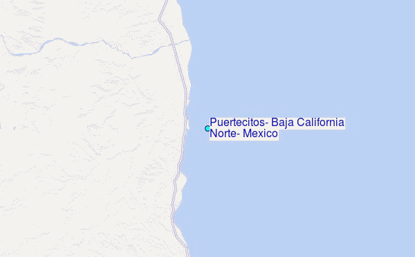
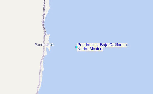
Choose Puertecitos, Baja California Norte, Mexico Location Map Zoom:
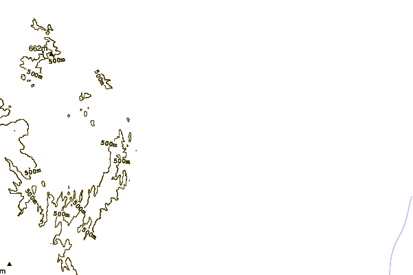
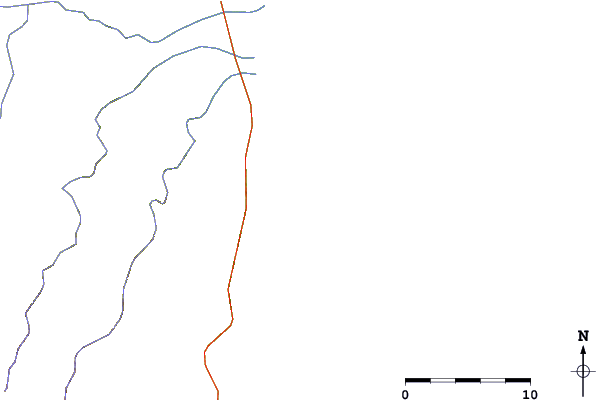
| Contours: | Roads & Rivers: | Select a
tide station / surf break / city |
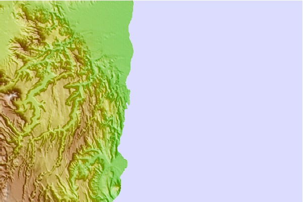
Use this relief map to navigate to tide stations, surf breaks and cities that are in the area of Puertecitos, Baja California Norte, Mexico.
Other Nearby Locations' tide tables and tide charts to Puertecitos, Baja California Norte, Mexico:
click location name for more details
 Surf breaks close to Puertecitos, Baja California Norte, Mexico:
|
||
|---|---|---|
| Closest surf break | Casas | 72 mi |
| Second closest surf break | El Socorro | 72 mi |
| Third closest surf break | Punta Canoas | 73 mi |
| Fourth closest surf break | Punta San Carlos | 74 mi |
| Fifth closest surf break | Cielito Lindo | 76 mi |


 Nearest
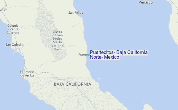