
| Distance / Altitude | Location | Report Date / Time | Live Weather | Wind | Gusts | Temp. | Visibility | Cloud |
|---|---|---|---|---|---|---|---|---|
| 57 km W / 209 m | EL Salvador International Airport (El Salvador) | 2026-04-08 03:00 local (2026/04/08 09:00 GMT) | Dry and partly cloudy | calm (4 km/h at 1) | 25°C | 10.0 | broken | |
| 167 km ENE / 1063 m | Tegucigalpa/Toncontín International Airport (Honduras) | 2026-04-08 03:00 local (2026/04/08 09:00 GMT) | Haze | light winds from the N (9 km/h at 360) | 21°C | 30 km | broken mostly cloudy - | |
| 249 km NNE / 384 m | La Mesa-Pedro Sula (Honduras) | 2026-04-08 03:00 local (2026/04/08 09:00 GMT) | Haze | calm (4 km/h at 990) | 23°C | 30 km | few scattered - | |
| 250 km NNE / 440 m | Santa Ana wx (Honduras) | 2026-04-08 04:19 local (2026/04/08 10:19 GMT) | dry | calm (0 km/h at 0) | — | - | - - 0 | |
| 252 km WNW / 1725 m | El Palmar (Mexico) | 2026-04-08 03:30 local (2026/04/08 09:30 GMT) | dry | calm (5 km/h at 53) | 14°C | - | - - 0 | |
| 257 km WNW / 1470 m | Guatemala/La Aurora Airport (Guatemala) | 2026-04-08 03:00 local (2026/04/08 09:00 GMT) | - | light winds from the NNE (19 km/h at 20) | — | 0.0 | ||
| 262 km W / 1301 m | El Ceibillo wx (Guatemala) | 2026-04-08 04:11 local (2026/04/08 10:11 GMT) | dry | calm (0 km/h at 321) | 18°C | - | - - 0 | |
| 269 km N / 202 m | Puerto Barrios Airport (Guatemala) | 2026-04-08 03:00 local (2026/04/08 09:00 GMT) | - | calm (0 km/h at 0) | — | 0.0 | few | |
| 288 km ESE / 192 m | Managua/Augusto Cesar Sandino International Airport (Nicaragua) | 2026-04-08 03:00 local (2026/04/08 09:00 GMT) | - | light winds from the E (7 km/h at 90) | 27°C | 10.0 | few | |
| 326 km NE / 378 m | La Ceiba/Goloson International Airport (Honduras) | 2026-04-08 03:00 local (2026/04/08 09:00 GMT) | - | calm (0 km/h at 0) | — | 0.0 |
| Contours: | Roads & Rivers: | Select a
tide station / surf break / city |
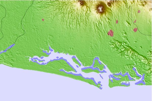
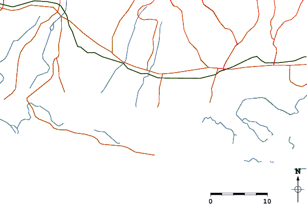
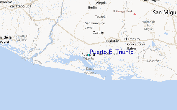
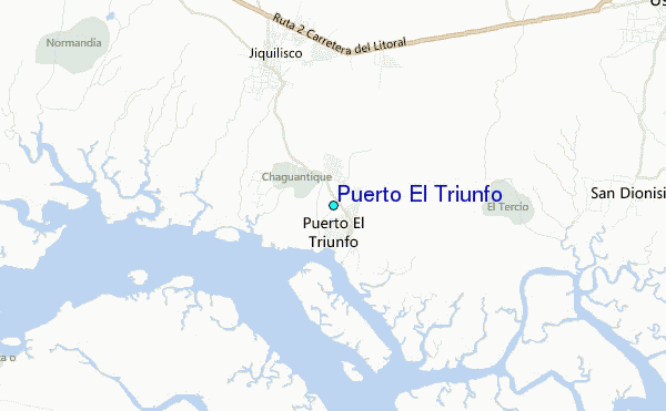
Use this relief map to navigate to tide stations, surf breaks and cities that are in the area of Puerto El Triunfo.
Other Nearby Locations' tide tables and tide charts to Puerto El Triunfo:
click location name for more details
 Surf breaks close to Puerto El Triunfo:
|
||
|---|---|---|
| Closest surf break | Costa del Sol | 25 mi |
| Second closest surf break | Punta Mango | 30 mi |
| Third closest surf break | Las Flores | 30 mi |
| Fourth closest surf break | Playa San Diego | 50 mi |
| Fifth closest surf break | Fishermans Point | 53 mi |


 Nearest
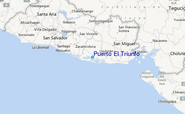