
| Distance / Altitude | Location | Report Date / Time | Live Weather | Wind | Gusts | Temp. | Visibility | Cloud |
|---|---|---|---|---|---|---|---|---|
| 4 km SW / 3 m | BUOY-ESPP4 (Marine) | 2024-04-19 14:48 local (2024/04/19 18:48 GMT) | light winds from the N (8 km/h at 10) | 29°C | - | |||
| 18 km N / 3 m | Vieques Island- PR (Marine) | 2024-04-19 13:30 local (2024/04/19 17:30 GMT) | light winds from the NNE (11 km/h at 30) | 27°C | - | |||
| 23 km NW / - m | SHIP6350 (ocean) | 2024-04-19 13:00 local (2024/04/19 17:00 GMT) | - | light winds from the NNE (14 km/h at 30) | 27°C | - | no observation | |
| 23 km NW / - m | SHIP10100 (ocean) | 2024-04-19 13:00 local (2024/04/19 17:00 GMT) | - | light winds from the NNE (11 km/h at 30) | 27°C | - | no observation | |
| 23 km NW / - m | SHIP5859 (ocean) | 2024-04-19 13:00 local (2024/04/19 17:00 GMT) | - | light winds from the NNE (14 km/h at 30) | 27°C | - | no observation |
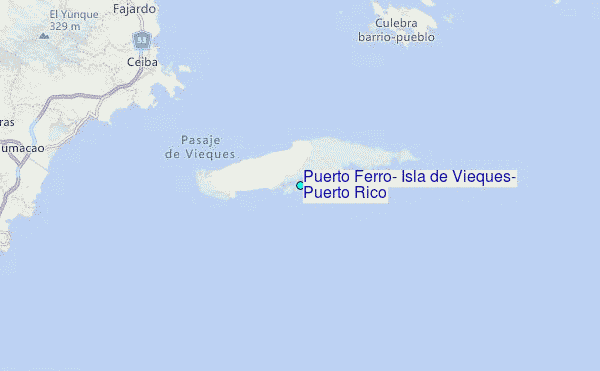
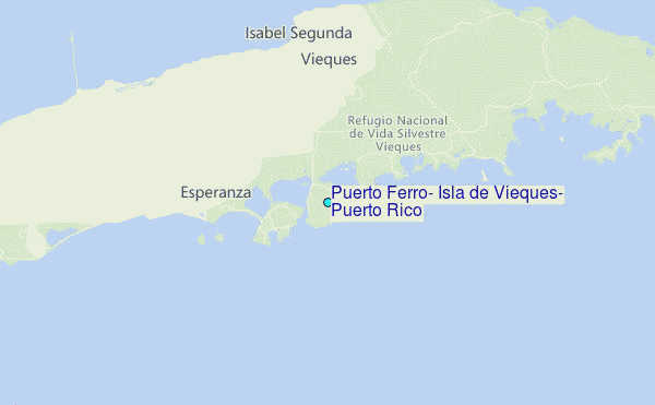
Choose Puerto Ferro, Isla de Vieques, Puerto Rico Location Map Zoom:
| Contours: | Roads & Rivers: | Select a
tide station / surf break / city |
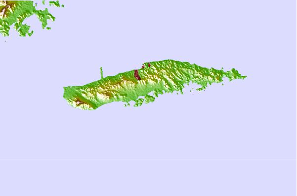
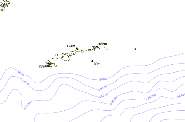
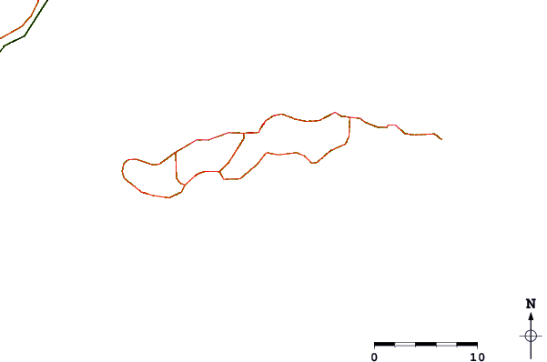
Use this relief map to navigate to tide stations, surf breaks and cities that are in the area of Puerto Ferro, Isla de Vieques, Puerto Rico.
Other Nearby Locations' tide tables and tide charts to Puerto Ferro, Isla de Vieques, Puerto Rico:
click location name for more details
 Surf breaks close to Puerto Ferro, Isla de Vieques, Puerto Rico:
|
||
|---|---|---|
| Closest surf break | The Reef (Culebra) | 18 mi |
| Second closest surf break | Palmas Del Mar (Bohio) | 24 mi |
| Third closest surf break | The Search | 24 mi |
| Fourth closest surf break | Luquillo - La Selva | 25 mi |
| Fifth closest surf break | Luquillo - La Pared | 27 mi |

 Nearest
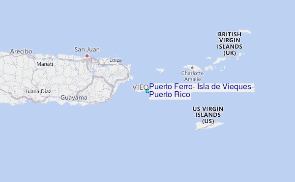