
| Distance / Altitude | Location | Report Date / Time | Live Weather | Wind | Gusts | Temp. | Visibility | Cloud |
|---|---|---|---|---|---|---|---|---|
| 77 km S / 218 m | Libreville/Leon M'Ba Airport (Gabon) | 2025-12-25 04:00 local (2025/12/25 03:00 GMT) | no report | light winds from the SE (7 km/h at 140) | 25°C | 10 | broken - - | |
| 91 km N / 560 m | Bata (Rio Muni) (Equatorial Guinea) | 2025-12-25 04:00 local (2025/12/25 03:00 GMT) | no report | calm (4 km/h at 80) | 23°C | 30 km | - scattered - | |
| 207 km SSE / 79 m | Lambarene (Gabon) | 2025-12-25 02:00 local (2025/12/25 01:00 GMT) | no report | - (- km/h at -) | — | 9 | - - - | |
| 215 km ENE / 552 m | Oyem (Woleu-Ntem) (Gabon) | 2025-12-25 04:00 local (2025/12/25 03:00 GMT) | no report | - (- km/h at -) | 25°C | 10 | - | |
| 224 km S / 4 m | Port Gentil (Gabon) | 2025-12-25 02:00 local (2025/12/25 01:00 GMT) | no report | light winds from the SSW (19 km/h at 200) | 27°C | 8 | - | |
| 224 km S / 33 m | Port Gentil Airport (Gabon) | 2025-12-25 02:00 local (2025/12/25 01:00 GMT) | no report | light winds from the SSW (19 km/h at 200) | 27°C | 8 | few - - | |
| 227 km S / 18 m | 1563 (Gabon) | 2025-12-25 04:00 local (2025/12/25 03:00 GMT) | - | light winds from the SE (17 km/h at 134) | — | - | - - 0 | |
| 313 km NW / 56 m | Malabo/Fernando Poo Airport (Equatorial Guinea) | 2025-12-25 04:00 local (2025/12/25 03:00 GMT) | state of sky unchanged | calm (0 km/h at 0) | 25°C | 30 km | - mostly cloudy - | |
| 323 km N / 209 m | Douala Airport (Cameroon) | 2025-12-25 03:00 local (2025/12/25 02:00 GMT) | Dry and partly cloudy | calm (0 km/h at 0) | 27°C | 10.0 | broken few | |
| 323 km N / 209 m | Douala Airport (Cameroon) | 2025-12-25 03:00 local (2025/12/25 02:00 GMT) | Dry and partly cloudy | calm (0 km/h at 0) | 27°C | 10.0 | broken few |
| Contours: | Roads & Rivers: | Select a
tide station / surf break / city |
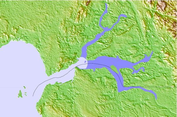
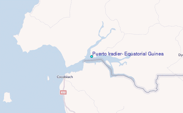
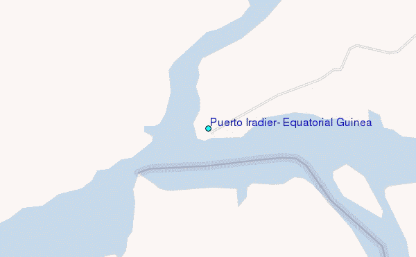
Use this relief map to navigate to tide stations, surf breaks and cities that are in the area of Puerto Iradier, Equatorial Guinea.
Other Nearby Locations' tide tables and tide charts to Puerto Iradier, Equatorial Guinea:
click location name for more details
 Surf breaks close to Puerto Iradier, Equatorial Guinea:
|
||
|---|---|---|
| Closest surf break | Ferme aux Crocos | 47 mi |
| Second closest surf break | Gueque | 49 mi |
| Third closest surf break | Ngombe | 60 mi |
| Fourth closest surf break | Kribi | 129 mi |
| Fifth closest surf break | Palplanche | 137 mi |


 Nearest
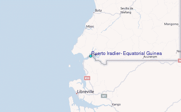