
| Distance / Altitude | Location | Report Date / Time | Live Weather | Wind | Gusts | Temp. | Visibility | Cloud |
|---|---|---|---|---|---|---|---|---|
| 13 km WSW / 7.6 m | Puerto Penasco (Åland) | 2026-03-23 18:12 local (2026/03/24 01:12 GMT) | dry | calm (0 km/h at 129) | 22°C | - | - - 0 | |
| 14 km W / 9 m | Puerto Penasco Airport (Mexico) | 2026-03-23 16:45 local (2026/03/23 23:45 GMT) | Dry and partly cloudy | light winds from the WSW (9 km/h at 240) | 26°C | 16 | scattered | |
| 16 km WSW / 61 m | Puerto Penasco- Son. (Mexico) | 2026-03-23 17:00 local (2026/03/24 00:00 GMT) | no report | - (- km/h at -) | 27°C | 20 | - | |
| 155 km WNW / 70 m | Yuma (Arizona) | 2026-03-23 18:26 local (2026/03/24 01:26 GMT) | - | calm (0 km/h at 360) | — | - | - - 0 | |
| 182 km ENE / 1940 m | Sells (Arizona) | 2026-03-23 18:32 local (2026/03/24 01:32 GMT) | dry | light winds from the SW (6 km/h at 226) | 22°C | - | - - 0 | |
| 185 km NNE / 262 m | Gila Bend Air Force Auxiliary Field (Arizona) | 2026-03-23 16:55 local (2026/03/23 23:55 GMT) | Dry and partly cloudy | light winds from the WSW (11 km/h at 240) | 37°C | 16 | broken | |
| 188 km WNW / 218 m | Yuma Marine Corps Air Station Airport (Arizona) | 2026-03-23 16:57 local (2026/03/23 23:57 GMT) | Clear | moderate winds from the S (24 km/h at 190) | 34°C | 16 | ||
| 198 km NW / 132 m | Laguna Army Airfield (Arizona) (Arizona) | 2026-03-23 16:55 local (2026/03/23 23:55 GMT) | Clear | moderate winds from the SW (28 km/h at 220) | 36°C | 14 | ||
| 224 km E / 974 m | Tubac wx (United States) | 2026-03-23 18:04 local (2026/03/24 01:04 GMT) | dry | calm (3 km/h at 246) | 29°C | - | - - 0 | |
| 228 km WNW / 326 m | Mexicali International Airport (Mexico) | 2026-03-23 17:40 local (2026/03/24 00:40 GMT) | - | light winds from the SSE (19 km/h at 160) | — | 16 |
| Contours: | Roads & Rivers: | Select a
tide station / surf break / city |
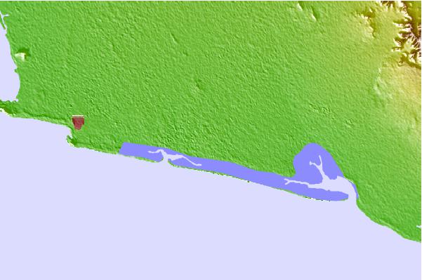
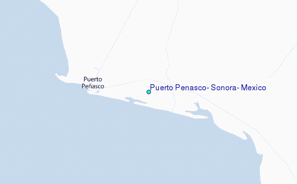
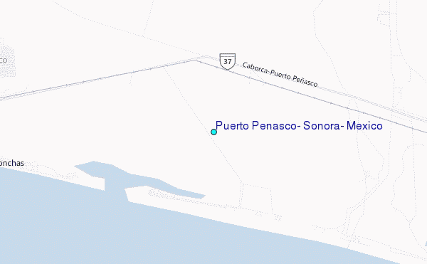
Use this relief map to navigate to tide stations, surf breaks and cities that are in the area of Puerto Penasco, Sonora, Mexico.
Other Nearby Locations' tide tables and tide charts to Puerto Penasco, Sonora, Mexico:
click location name for more details
 Surf breaks close to Puerto Penasco, Sonora, Mexico:
|
||
|---|---|---|
| Closest surf break | El Socorro | 160 mi |
| Second closest surf break | Cielito Lindo | 161 mi |
| Third closest surf break | Casas | 162 mi |
| Fourth closest surf break | Playa Santa Maria | 162 mi |
| Fifth closest surf break | Cabo San Quintin | 162 mi |


 Nearest
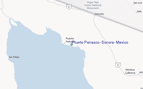