
| Distance / Altitude | Location | Report Date / Time | Live Weather | Wind | Gusts | Temp. | Visibility | Cloud |
|---|---|---|---|---|---|---|---|---|
| 3 km SSW / 111 m | Captain Arturo Prat Base (Antarctica (ay)) | 2025-12-24 06:00 local (2025/12/24 09:00 GMT) | Clouds developing | light winds from the ENE (6 km/h at 70) | 1°C | 30 km | overcast | |
| 47 km NE / 48 m | Centro Met. Antártico Presidente Eduardo Frei (Antarctica) | 2025-12-24 08:00 local (2025/12/24 11:00 GMT) | no report | wind obs. (115 kph from 270 degs) was rejected (- km/h at -) | -4°C | - | - | |
| 47 km NE / 45 m | Teniente R. Marsh Airport (Chile) | 2025-12-24 08:00 local (2025/12/24 11:00 GMT) | Dry and partly cloudy | light winds from the ENE (17 km/h at 60) | 2°C | 10.0 | scattered broken | |
| 49 km NE / 3 m | SHIP1298 (Marine) | 2025-12-24 06:00 local (2025/12/24 09:00 GMT) | - (- km/h at -) | 2°C | - | |||
| 55 km NE / 52 m | Dinamet (Antarctica (ay)) | 2025-12-24 08:00 local (2025/12/24 11:00 GMT) | no report | wind obs. (22 kph from 300 degs) was rejected (- km/h at -) | -3°C | - | - | |
| 49 km NE / 15 m | SHIP5530 (Marine) | 2025-12-24 06:00 local (2025/12/24 09:00 GMT) | - (- km/h at -) | — | - km | |||
| 49 km NE / 3 m | SHIP4932 (Marine) | 2025-12-24 06:00 local (2025/12/24 09:00 GMT) | - (- km/h at -) | 2°C | - | |||
| 49 km NE / 3 m | SHIP2814 (Marine) | 2025-12-24 08:00 local (2025/12/24 11:00 GMT) | - (- km/h at -) | 1°C | - | |||
| 49 km NE / 15 m | SHIP3055 (Marine) | 2025-12-24 08:00 local (2025/12/24 11:00 GMT) | - (- km/h at -) | — | - km | |||
| 49 km NE / 3 m | SHIP3221 (Marine) | 2025-12-24 06:00 local (2025/12/24 09:00 GMT) | - (- km/h at -) | 2°C | - |
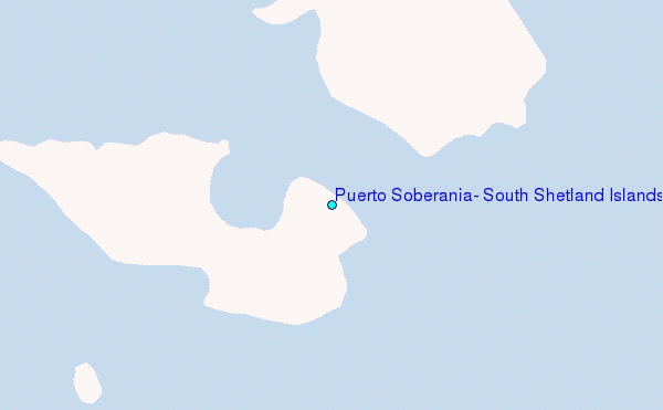
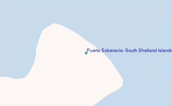
Choose Puerto Soberania, South Shetland Islands Location Map Zoom:
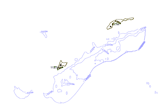
| Contours: | Roads & Rivers: | Select a
tide station / surf break / city |

Use this relief map to navigate to tide stations, surf breaks and cities that are in the area of Puerto Soberania, South Shetland Islands.
Other Nearby Locations' tide tables and tide charts to Puerto Soberania, South Shetland Islands:
click location name for more details
 Surf breaks close to Puerto Soberania, South Shetland Islands:
|
||
|---|---|---|
| Closest surf break | Río Grande | 669 mi |
| Second closest surf break | Bertha's Beach | 733 mi |
| Third closest surf break | Surf Bay | 749 mi |
| Fourth closest surf break | Cow Bay | 766 mi |
| Fifth closest surf break | Elephant Beach | 769 mi |


 Nearest
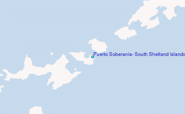