
| Distance / Altitude | Location | Report Date / Time | Live Weather | Wind | Gusts | Temp. | Visibility | Cloud |
|---|---|---|---|---|---|---|---|---|
| 150 km SSE / 34 m | Lima Jorge Chávez International Airport (Peru) | 2026-04-03 22:00 local (2026/04/04 03:00 GMT) | - | light winds from the S (11 km/h at 180) | — | 0.0 | ||
| 165 km SSE / 361 m | La Molina wx (Peru) | 2026-04-03 23:39 local (2026/04/04 04:39 GMT) | dry | calm (0 km/h at 198) | 23°C | - | - - 0 | |
| 333 km NW / 215 m | Trujillo Airport (Peru) | 2026-04-03 22:00 local (2026/04/04 03:00 GMT) | Dry and partly cloudy | wind obs. (11 kph from 140 degs) was rejected (- km/h at -) | 22°C | 6.0 | no significant cloud | |
| 362 km SSE / 211 m | Pisco Airport (Peru) | 2026-04-03 22:00 local (2026/04/04 03:00 GMT) | - | light winds from the SSW (7 km/h at 200) | — | 0.0 | - - - | |
| 372 km SSE / 5 m | Paracas (Peru) | 2026-04-03 22:28 local (2026/04/04 03:28 GMT) | - | calm (0 km/h at 254) | 22°C | - | - - 0 | |
| 437 km NE / 22 m | Pucallpa Airport (Peru) | 2026-04-03 22:00 local (2026/04/04 03:00 GMT) | Dry and partly cloudy | light winds from the SE (15 km/h at 130) | 27°C | 10.0 | scattered scattered | |
| 502 km NW / 212 m | Chiclayo/Capitán FAP José A. Quiñones Gonzales International Airport (Peru) | 2026-04-03 22:00 local (2026/04/04 03:00 GMT) | - | moderate winds from the S (24 km/h at 190) | — | 0.0 | ||
| 506 km NNE / 601 m | Tarapoto Airport (Peru) | 2026-04-03 22:00 local (2026/04/04 03:00 GMT) | Dry and partly cloudy | calm (0 km/h at 0) | 25°C | 10.0 | few scattered | |
| 687 km SSE / 15 m | ASCATC285E16S (Marine) | 2026-04-03 21:06 local (2026/04/04 02:06 GMT) | light winds from the SSE (7 km/h at 162) | — | - km | |||
| 698 km NW / 1 m | Piura/Capitán FAP Guillermo Concha Iberico International Airport (Peru) | 2026-04-03 22:00 local (2026/04/04 03:00 GMT) | - | light winds from the S (19 km/h at 170) | — | 0.0 |
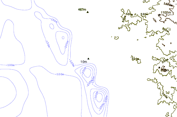
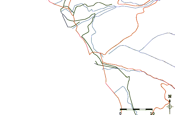
| Contours: | Roads & Rivers: | Select a
tide station / surf break / city |
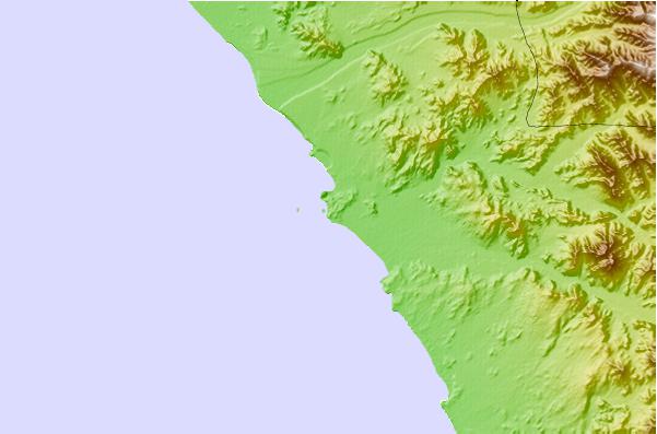
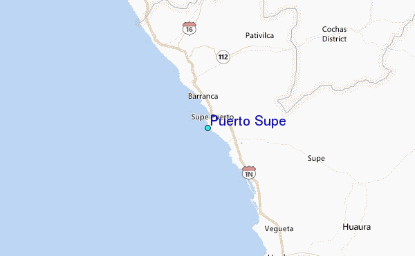
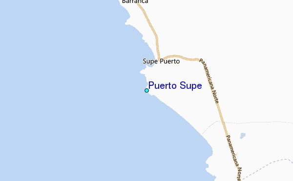
Use this relief map to navigate to tide stations, surf breaks and cities that are in the area of Puerto Supe.
Other Nearby Locations' tide tables and tide charts to Puerto Supe:
click location name for more details
 Surf breaks close to Puerto Supe:
|
||
|---|---|---|
| Closest surf break | Bermejo | 21 mi |
| Second closest surf break | Paraiso | 29 mi |
| Third closest surf break | Polvorin | 29 mi |
| Fourth closest surf break | Punta Gaviotas | 34 mi |
| Fifth closest surf break | Salinas | 34 mi |


 Nearest
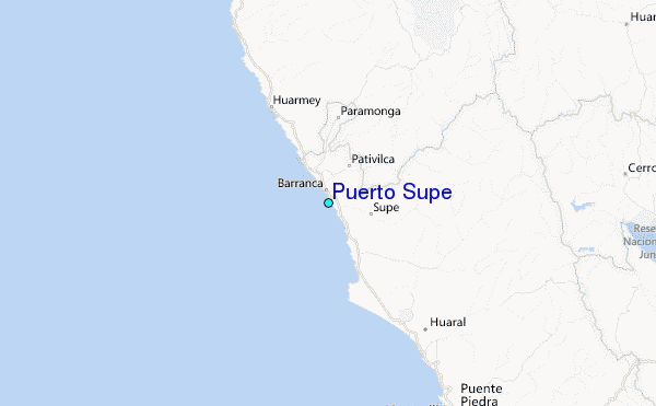