
| Distance / Altitude | Location | Report Date / Time | Live Weather | Wind | Gusts | Temp. | Visibility | Cloud |
|---|---|---|---|---|---|---|---|---|
| 7 km SSW / 217 m | Baltimore/Washington International Thurgood Marshall Airport (Maryland) | 2026-05-03 19:54 local (2026/05/03 23:54 GMT) | - | light winds from the WSW (11 km/h at 250) | 13°C | 16 | few | |
| 8 km NE / 3 m | BUOY-BLTM2 (Marine) | 2026-05-03 20:30 local (2026/05/04 00:30 GMT) | calm (5 km/h at 240) | 16°C | - | |||
| 9 km E / 3 m | BUOY-44080 (Marine) | 2026-05-03 20:54 local (2026/05/04 00:54 GMT) | light winds from the SW (11 km/h at 220) | 14°C | - | |||
| 9 km E / 3 m | BUOY-FSKM2 (Marine) | 2026-05-03 20:30 local (2026/05/04 00:30 GMT) | light winds from the SW (9 km/h at 230) | 15°C | - | |||
| 10 km E / 3 m | BUOY-BCFM2 (Marine) | 2026-05-03 20:30 local (2026/05/04 00:30 GMT) | light winds from the WSW (9 km/h at 240) | 15°C | - | |||
| 12 km E / - m | SHIP765 (ocean) | 2026-05-03 20:00 local (2026/05/04 00:00 GMT) | - | light winds from the W (11 km/h at 260) | 15°C | - | no observation | |
| 12 km E / - m | SHIP277 (ocean) | 2026-05-03 20:00 local (2026/05/04 00:00 GMT) | - | light winds from the WSW (11 km/h at 240) | 15°C | - | no observation | |
| 12 km E / - m | SHIP1642 (ocean) | 2026-05-03 21:00 local (2026/05/04 01:00 GMT) | - | light winds from the SW (11 km/h at 220) | 14°C | - | no observation | |
| 12 km E / - m | SHIP488 (ocean) | 2026-05-03 20:00 local (2026/05/04 00:00 GMT) | - | light winds from the WSW (11 km/h at 240) | 15°C | - | no observation | |
| 19 km SSW / 180 m | Fort Meade Airport (Maryland) | 2026-05-03 20:35 local (2026/05/04 00:35 GMT) | Clear | calm (0 km/h at 0) | 8°C | 16 |
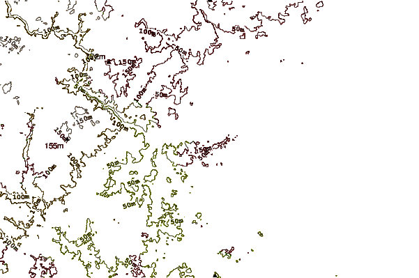
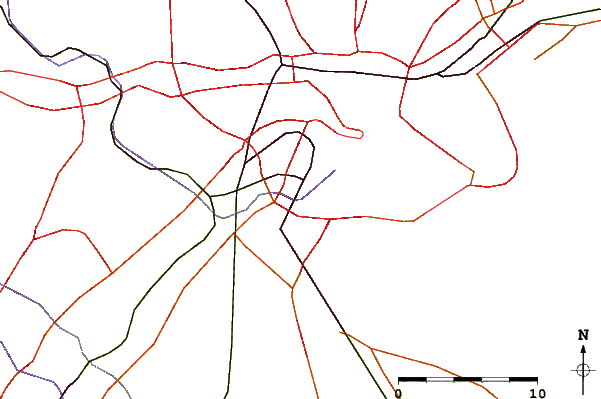
| Contours: | Roads & Rivers: | Select a
tide station / surf break / city |
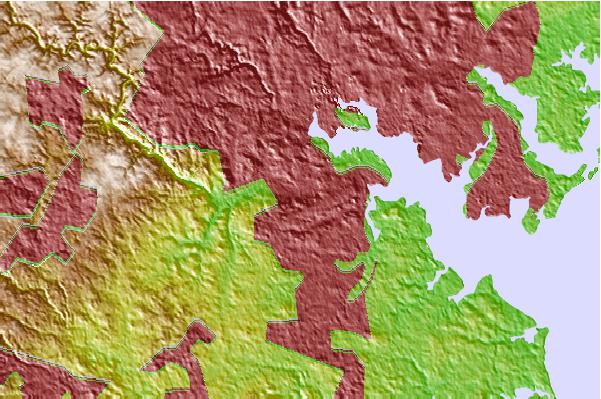
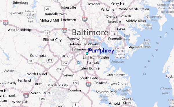
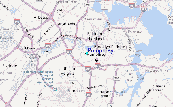
Use this relief map to navigate to tide stations, surf breaks and cities that are in the area of Pumphrey.
Other Nearby Locations' tide tables and tide charts to Pumphrey:
click location name for more details
 Surf breaks close to Pumphrey:
|
||
|---|---|---|
| Closest surf break | Naval Jetties | 88 mi |
| Second closest surf break | The Cove Delaware | 89 mi |
| Third closest surf break | Rehoboth Main | 91 mi |
| Fourth closest surf break | Dewey Beach | 91 mi |
| Fifth closest surf break | Tower Road | 92 mi |


 Nearest
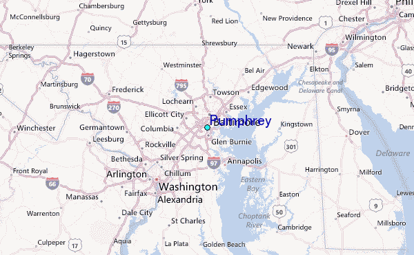