
| Distance / Altitude | Location | Report Date / Time | Live Weather | Wind | Gusts | Temp. | Visibility | Cloud |
|---|---|---|---|---|---|---|---|---|
| 49 km SSE / 202 m | Puerto Barrios Airport (Guatemala) | 2026-05-06 01:00 local (2026/05/06 07:00 GMT) | Dry and partly cloudy | calm (0 km/h at 0) | 26°C | 10.0 | scattered | |
| 50 km SSE / 15 m | SHIP3451 (Marine) | 2026-05-06 00:00 local (2026/05/06 06:00 GMT) | - (- km/h at -) | — | - km | |||
| 50 km SSE / 15 m | SHIP8751 (Marine) | 2026-05-06 00:00 local (2026/05/06 06:00 GMT) | - (- km/h at -) | — | - km | |||
| 50 km SSE / 3 m | SHIP5075 (Marine) | 2026-05-06 00:00 local (2026/05/06 06:00 GMT) | - (- km/h at -) | 28°C | - | |||
| 50 km SSE / 3 m | SHIP4837 (Marine) | 2026-05-06 00:00 local (2026/05/06 06:00 GMT) | - (- km/h at -) | 28°C | - | |||
| 50 km SSE / 3 m | SHIP12844 (Marine) | 2026-05-06 01:00 local (2026/05/06 07:00 GMT) | - (- km/h at -) | 27°C | - | |||
| 50 km SSE / 3 m | SHIP7336 (Marine) | 2026-05-06 01:00 local (2026/05/06 07:00 GMT) | - (- km/h at -) | 27°C | - | |||
| 50 km SSE / 3 m | SHIP11891 (Marine) | 2026-05-06 01:00 local (2026/05/06 07:00 GMT) | - (- km/h at -) | 27°C | - | |||
| 50 km SSE / 3 m | SHIP7923 (Marine) | 2026-05-06 00:00 local (2026/05/06 06:00 GMT) | - (- km/h at -) | 28°C | - | |||
| 50 km SSE / 15 m | SHIP14122 (Marine) | 2026-05-06 00:00 local (2026/05/06 06:00 GMT) | - (- km/h at -) | — | - km |
| Contours: | Roads & Rivers: | Select a
tide station / surf break / city |
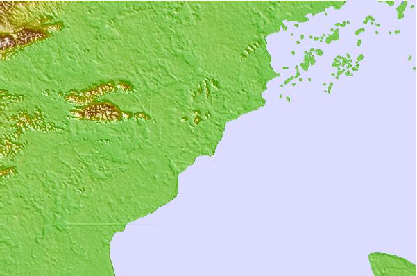
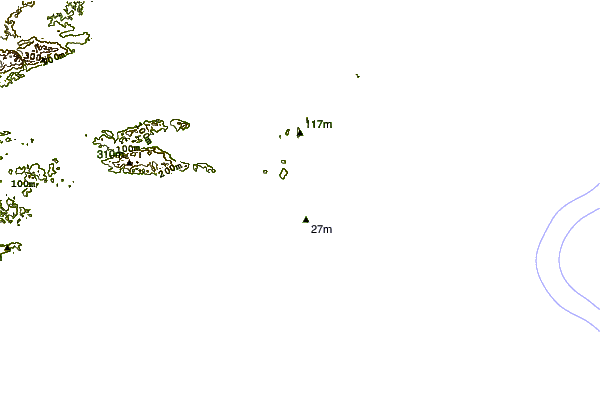
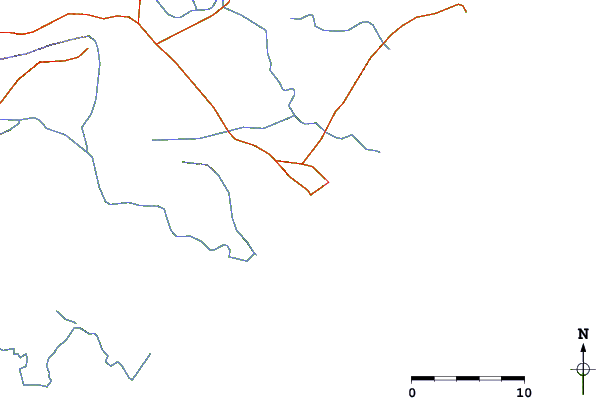
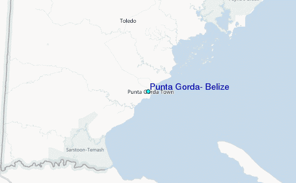
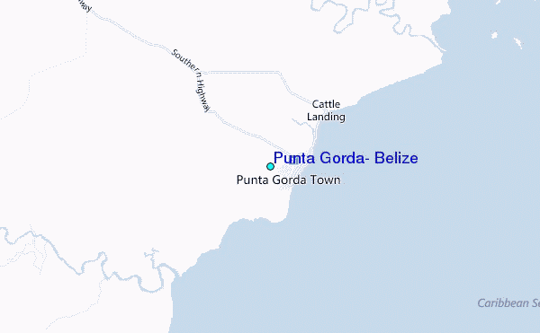
Use this relief map to navigate to tide stations, surf breaks and cities that are in the area of Punta Gorda, Belize.
Other Nearby Locations' tide tables and tide charts to Punta Gorda, Belize:
click location name for more details
 Surf breaks close to Punta Gorda, Belize:
|
||
|---|---|---|
| Closest surf break | East Point Long Cay | 116 mi |
| Second closest surf break | San Pedro South Reef Pass | 137 mi |
| Third closest surf break | San Pedro North Reef Pass | 139 mi |
| Fourth closest surf break | Palma Real | 155 mi |
| Fifth closest surf break | Rocky Point | 155 mi |


 Nearest
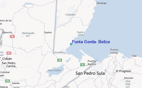