
| Distance / Altitude | Location | Report Date / Time | Live Weather | Wind | Gusts | Temp. | Visibility | Cloud |
|---|---|---|---|---|---|---|---|---|
| 236 km WNW / 4 m | Kavieng W.o. (Papua New Guinea) | 2026-04-10 10:00 local (2026/04/10 00:00 GMT) | no report | wind obs. (22 kph from 180 degs) was rejected (- km/h at -) | 30°C | 30 | - | |
| 285 km WSW / 15 m | ASCATB150E4S (Marine) | 2026-04-10 08:42 local (2026/04/09 22:42 GMT) | strong winds from the W (41 km/h at 280) | — | - km | |||
| 288 km WSW / 15 m | ASCATC150E4S (Marine) | 2026-04-10 09:15 local (2026/04/09 23:15 GMT) | strong winds from the W (39 km/h at 279) | — | - km | |||
| 298 km WNW / 15 m | ASCATB151E2S (Marine) | 2026-04-10 08:41 local (2026/04/09 22:41 GMT) | strong winds from the W (45 km/h at 268) | — | - km | |||
| 301 km W / 15 m | ASCATC150E3S (Marine) | 2026-04-10 09:15 local (2026/04/09 23:15 GMT) | strong winds from the W (44 km/h at 278) | — | - km | |||
| 308 km W / 15 m | ASCATB150E3S (Marine) | 2026-04-10 08:42 local (2026/04/09 22:42 GMT) | strong winds from the WNW (42 km/h at 282) | — | - km | |||
| 310 km SW / 15 m | ASCATB150E5S (Marine) | 2026-04-10 08:42 local (2026/04/09 22:42 GMT) | fresh winds from the WNW (33 km/h at 282) | — | - km | |||
| 358 km NW / 15 m | ASCATB151E1S (Marine) | 2026-04-10 08:41 local (2026/04/09 22:41 GMT) | strong winds from the W (45 km/h at 270) | — | - km | |||
| 359 km WNW / 15 m | ASCATB150E2S (Marine) | 2026-04-10 08:41 local (2026/04/09 22:41 GMT) | strong winds from the W (46 km/h at 278) | — | - km | |||
| 365 km WNW / 15 m | ASCATC150E2S (Marine) | 2026-04-10 09:14 local (2026/04/09 23:14 GMT) | strong winds from the W (45 km/h at 277) | — | - km |
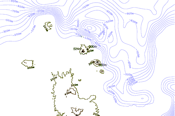
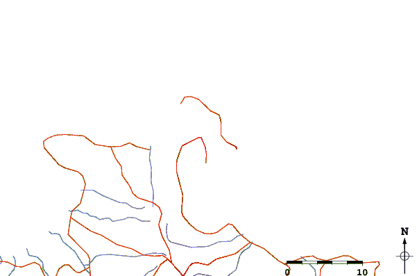
| Contours: | Roads & Rivers: | Select a
tide station / surf break / city |
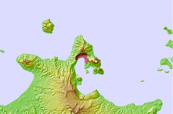
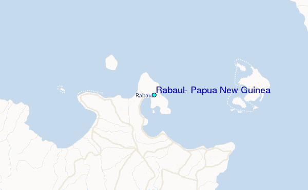
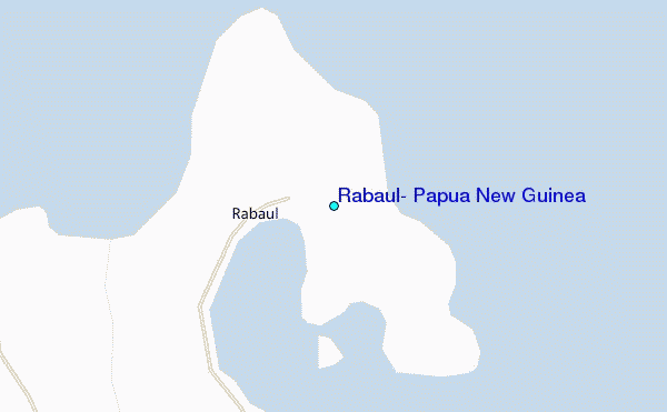
Use this relief map to navigate to tide stations, surf breaks and cities that are in the area of Rabaul, Papua New Guinea.
Other Nearby Locations' tide tables and tide charts to Rabaul, Papua New Guinea:
click location name for more details
 Surf breaks close to Rabaul, Papua New Guinea:
|
||
|---|---|---|
| Closest surf break | Duke of York | 19 mi |
| Second closest surf break | Raiven | 19 mi |
| Third closest surf break | Rubio | 52 mi |
| Fourth closest surf break | Simberi Island | 112 mi |
| Fifth closest surf break | Nago | 147 mi |


 Nearest
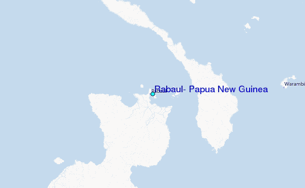