
| Distance / Altitude | Location | Report Date / Time | Live Weather | Wind | Gusts | Temp. | Visibility | Cloud |
|---|---|---|---|---|---|---|---|---|
| 11 km E / 3 m | BUOY-PXAC1 (Marine) | 2026-04-05 02:00 local (2026/04/05 09:00 GMT) | - (0 km/h at -) | — | - | |||
| 11 km ESE / 3 m | BUOY-OHBC1 (Marine) | 2026-04-05 02:00 local (2026/04/05 09:00 GMT) | - (- km/h at -) | — | - | |||
| 13 km ESE / 3 m | BUOY-AGXC1 (Marine) | 2026-04-05 02:00 local (2026/04/05 09:00 GMT) | calm (5 km/h at 260) | 18°C | - | |||
| 14 km E / 3 m | BUOY-PFDC1 (Marine) | 2026-04-05 02:00 local (2026/04/05 09:00 GMT) | calm (2 km/h at 210) | — | - | |||
| 14 km ENE / 3 m | BUOY-BAXC1 (Marine) | 2026-04-05 02:00 local (2026/04/05 09:00 GMT) | calm (4 km/h at 90) | — | - | |||
| 15 km E / 3 m | BUOY-PFXC1 (Marine) | 2026-04-05 02:00 local (2026/04/05 09:00 GMT) | light winds from the SSE (8 km/h at 160) | 17°C | - | |||
| 15 km E / 3 m | BUOY-PSXC1 (Marine) | 2026-04-05 02:00 local (2026/04/05 09:00 GMT) | light winds from the E (8 km/h at 100) | — | - | |||
| 17 km SSE / 3 m | San Pedro- CA (Marine) | 2026-04-05 02:26 local (2026/04/05 09:26 GMT) | - (- km/h at -) | — | - | |||
| 18 km ESE / 3 m | SHIP3601 (Marine) | 2026-04-05 01:00 local (2026/04/05 08:00 GMT) | - (- km/h at -) | 18°C | - | |||
| 18 km ESE / 3 m | SHIP3600 (Marine) | 2026-04-05 01:00 local (2026/04/05 08:00 GMT) | - (- km/h at -) | — | - |
| Contours: | Roads & Rivers: | Select a
tide station / surf break / city |
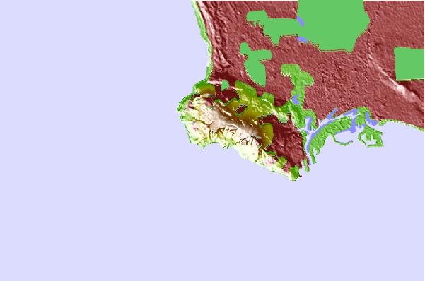
Use this relief map to navigate to tide stations, surf breaks and cities that are in the area of Rancho Palos Verdes.
Other Nearby Locations' tide tables and tide charts to Rancho Palos Verdes:
click location name for more details
 Surf breaks close to Rancho Palos Verdes:
|
||
|---|---|---|
| Closest surf break | Abalone Cove | 1 mi |
| Second closest surf break | Bee Hives | 1 mi |
| Third closest surf break | Wallys | 2 mi |
| Fourth closest surf break | Indicator | 3 mi |
| Fifth closest surf break | Japs Cove | 3 mi |


 Nearest