
| Distance / Altitude | Location | Report Date / Time | Live Weather | Wind | Gusts | Temp. | Visibility | Cloud |
|---|---|---|---|---|---|---|---|---|
| 154 km SW / 15 m | ASCATC183E30S (Marine) | 2025-12-24 23:18 local (2025/12/24 10:18 GMT) | light winds from the NNW (9 km/h at 341) | — | - km | |||
| 179 km WSW / 50 m | RaoulIslandAws (New Zealand) | 2025-12-25 01:00 local (2025/12/24 12:00 GMT) | - | wind obs. (7 kph from 220 degs) was rejected (- km/h at -) | 18°C | - | - no observation - | |
| 188 km SSW / 15 m | ASCATC183E31S (Marine) | 2025-12-24 23:18 local (2025/12/24 10:18 GMT) | light winds from the NW (12 km/h at 324) | — | - km | |||
| 228 km W / 15 m | ASCATC182E29S (Marine) | 2025-12-24 23:18 local (2025/12/24 10:18 GMT) | calm (4 km/h at 71) | — | - km | |||
| 230 km WSW / 15 m | ASCATC182E30S (Marine) | 2025-12-24 23:18 local (2025/12/24 10:18 GMT) | light winds from the NNW (7 km/h at 348) | — | - km | |||
| 248 km SSW / 15 m | ASCATC182E31S (Marine) | 2025-12-24 23:18 local (2025/12/24 10:18 GMT) | light winds from the NNW (15 km/h at 337) | — | - km | |||
| 269 km S / 15 m | ASCATC183E32S (Marine) | 2025-12-24 23:18 local (2025/12/24 10:18 GMT) | light winds from the NW (19 km/h at 313) | — | - km | |||
| 303 km W / 15 m | ASCATC181E29S (Marine) | 2025-12-24 23:18 local (2025/12/24 10:18 GMT) | light winds from the NE (9 km/h at 50) | — | - km | |||
| 305 km WNW / 15 m | ASCATC182E28S (Marine) | 2025-12-24 23:19 local (2025/12/24 10:19 GMT) | light winds from the ESE (9 km/h at 107) | — | - km | |||
| 321 km WSW / 15 m | ASCATC181E30S (Marine) | 2025-12-24 23:18 local (2025/12/24 10:18 GMT) | light winds from the NNE (11 km/h at 18) | — | - km |
| Contours: | Roads & Rivers: | Select a
tide station / surf break / city |


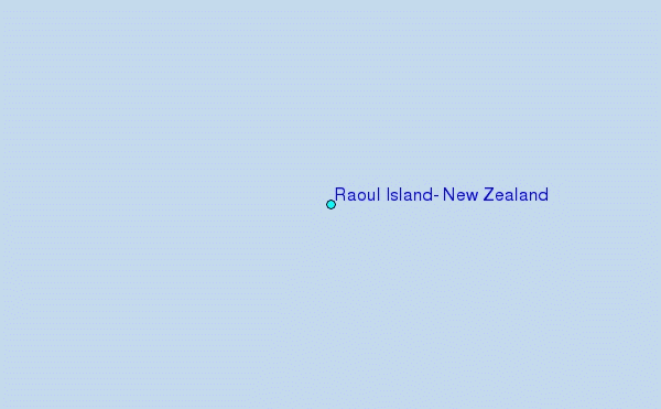
Use this relief map to navigate to tide stations, surf breaks and cities that are in the area of Raoul Island, New Zealand.
Other Nearby Locations' tide tables and tide charts to Raoul Island, New Zealand:
click location name for more details
 Surf breaks close to Raoul Island, New Zealand:
|
||
|---|---|---|
| Closest surf break | The Pass | 566 mi |
| Second closest surf break | Motels | 566 mi |
| Third closest surf break | Corners | 567 mi |
| Fourth closest surf break | The Peak | 567 mi |
| Fifth closest surf break | Fishtraps | 568 mi |


 Nearest