
| Distance / Altitude | Location | Report Date / Time | Live Weather | Wind | Gusts | Temp. | Visibility | Cloud |
|---|---|---|---|---|---|---|---|---|
| 42 km N / 3 m | BUOY-GPXA2 (Marine) | 2025-12-24 10:32 local (2025/12/24 19:32 GMT) | - (- km/h at -) | -9°C | - | |||
| 52 km SSE / 3 m | BUOY-FFIA2 (Marine) | 2025-12-24 11:00 local (2025/12/24 20:00 GMT) | gales from the N (63 km/h at 350) | -4°C | - | |||
| 54 km N / 3 m | BUOY-PAXA2 (Marine) | 2025-12-24 11:32 local (2025/12/24 20:32 GMT) | near gales from the N (58 km/h at 10) | -12°C | - | |||
| 56 km SW / 3 m | BUOY-PCXA2 (Marine) | 2025-12-24 11:32 local (2025/12/24 20:32 GMT) | light winds from the NNW (8 km/h at 330) | -3°C | - | |||
| 58 km N / 3 m | BUOY-PBPA2 (Marine) | 2025-12-24 11:10 local (2025/12/24 20:10 GMT) | near gales from the N (52 km/h at 10) | -11°C | - | |||
| 59 km NW / 3 m | BUOY-MRNA2 (Marine) | 2025-12-24 11:32 local (2025/12/24 20:32 GMT) | calm (5 km/h at 220) | -6°C | - | |||
| 60 km NW / 15 m | SHIP10378 (Marine) | 2025-12-24 10:00 local (2025/12/24 19:00 GMT) | moderate winds from the S (22.32 km/h at 190) | — | - km | |||
| 60 km NW / 3 m | SHIP4223 (Marine) | 2025-12-24 10:00 local (2025/12/24 19:00 GMT) | moderate winds from the S (22 km/h at 190) | -7°C | - | |||
| 62 km NW / 15 m | SHIP2720 (Marine) | 2025-12-24 11:00 local (2025/12/24 20:00 GMT) | fresh winds from the S (33.480000000000004 km/h at 170) | — | - km | |||
| 62 km NW / 15 m | SHIP3765 (Marine) | 2025-12-24 10:00 local (2025/12/24 19:00 GMT) | moderate winds from the E (27.720000000000002 km/h at 90) | — | - km |
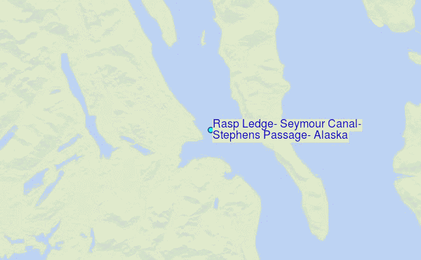
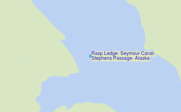
Choose Rasp Ledge, Seymour Canal, Stephens Passage, Alaska Location Map Zoom:
| Contours: | Roads & Rivers: | Select a
tide station / surf break / city |
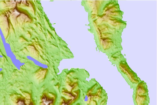
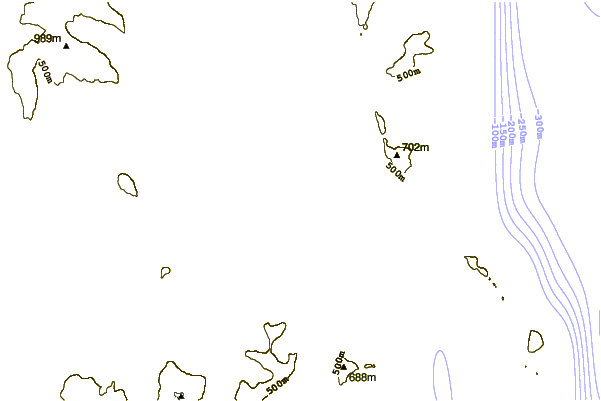
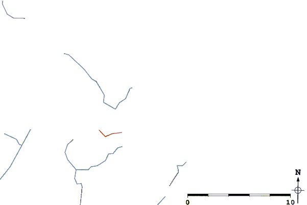
Use this relief map to navigate to tide stations, surf breaks and cities that are in the area of Rasp Ledge, Seymour Canal, Stephens Passage, Alaska.
Other Nearby Locations' tide tables and tide charts to Rasp Ledge, Seymour Canal, Stephens Passage, Alaska:
click location name for more details
 Surf breaks close to Rasp Ledge, Seymour Canal, Stephens Passage, Alaska:
|
||
|---|---|---|
| Closest surf break | Cannon Beach | 242 mi |
| Second closest surf break | Graveyards | 245 mi |
| Third closest surf break | Lepus Beach (Haida-Gwaii) | 246 mi |
| Fourth closest surf break | Ocean Cape | 246 mi |
| Fifth closest surf break | Tow Hill Beach | 264 mi |


 Nearest
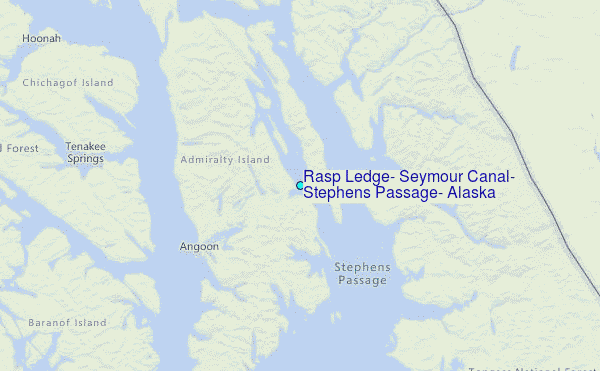