
| Distance / Altitude | Location | Report Date / Time | Live Weather | Wind | Gusts | Temp. | Visibility | Cloud |
|---|---|---|---|---|---|---|---|---|
| 18 km NNE / 15 m | SHIP9396 (Marine) | 2025-12-23 16:00 local (2025/12/24 01:00 GMT) | strong winds from the N (44.64 km/h at 360) | — | - km | |||
| 20 km NNE / 3 m | BUOY-PGXA2 (Marine) | 2025-12-23 15:52 local (2025/12/24 00:52 GMT) | fresh winds from the NNW (37 km/h at 330) | -6°C | - | |||
| 44 km W / 3 m | BUOY-ITKA2 (Marine) | 2025-12-23 16:48 local (2025/12/24 01:48 GMT) | - (- km/h at -) | — | - | |||
| 45 km W / 212 m | Sitka Airport (Alaska) | 2025-12-23 15:53 local (2025/12/24 00:53 GMT) | - | light winds from the ENE (9 km/h at 60) | — | 16 | few broken overcast | |
| 45 km W / 3 m | BUOY-SHXA2 (Marine) | 2025-12-23 17:02 local (2025/12/24 02:02 GMT) | calm (5 km/h at 100) | — | - | |||
| 48 km ENE / 215 m | Kake Airport (Alaska) | 2025-12-23 16:56 local (2025/12/24 01:56 GMT) | Clear | light winds from the NE (6 km/h at 40) | -13°C | 16 | ||
| 50 km N / 15 m | SHIP4212 (Marine) | 2025-12-23 15:00 local (2025/12/24 00:00 GMT) | strong winds from the NNE (40.68000000000001 km/h at 30) | — | - km | |||
| 50 km N / 15 m | SHIP8256 (Marine) | 2025-12-23 15:00 local (2025/12/24 00:00 GMT) | strong winds from the NNE (40.68000000000001 km/h at 30) | — | - km | |||
| 50 km N / 15 m | SHIP9921 (Marine) | 2025-12-23 15:00 local (2025/12/24 00:00 GMT) | strong winds from the NNE (40.68000000000001 km/h at 30) | — | - km | |||
| 50 km N / 15 m | SHIP3012 (Marine) | 2025-12-23 16:00 local (2025/12/24 01:00 GMT) | strong winds from the NNE (40.68000000000001 km/h at 30) | — | - km |
| Contours: | Roads & Rivers: | Select a
tide station / surf break / city |
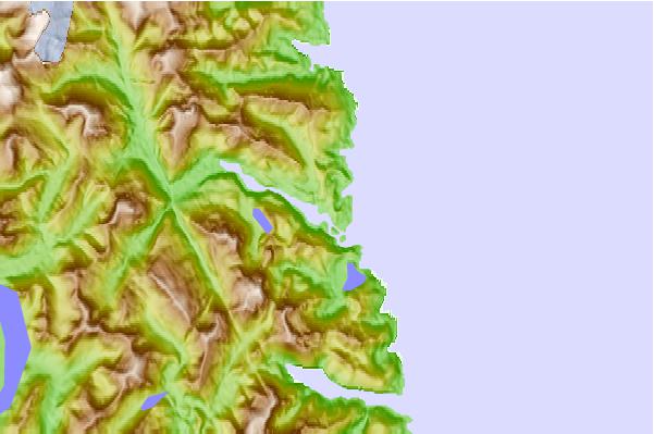
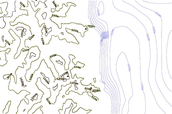
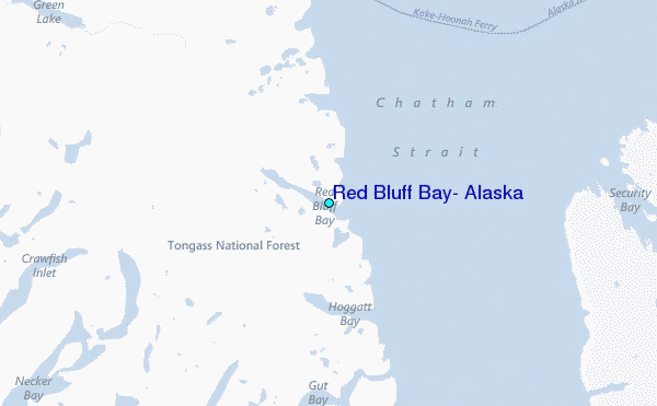
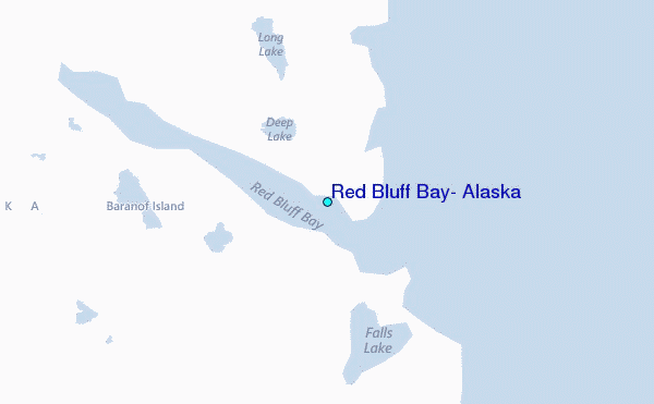
Use this relief map to navigate to tide stations, surf breaks and cities that are in the area of Red Bluff Bay, Alaska.
Other Nearby Locations' tide tables and tide charts to Red Bluff Bay, Alaska:
click location name for more details
 Surf breaks close to Red Bluff Bay, Alaska:
|
||
|---|---|---|
| Closest surf break | Lepus Beach (Haida-Gwaii) | 197 mi |
| Second closest surf break | Tow Hill Beach | 223 mi |
| Third closest surf break | Cannon Beach | 260 mi |
| Fourth closest surf break | Graveyards | 263 mi |
| Fifth closest surf break | Ocean Cape | 264 mi |


 Nearest
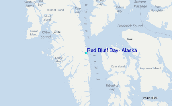