
| Distance / Altitude | Location | Report Date / Time | Live Weather | Wind | Gusts | Temp. | Visibility | Cloud |
|---|---|---|---|---|---|---|---|---|
| 11 km NNE / 16 m | lightning 16km SE of Johnsonville (United States) | 2026-04-30 09:16 local (2026/04/30 13:16 GMT) | Thunderstorm | (- km/h at -) | — | |||
| 22 km S / 6 m | thunderstorm affecting Andrews (United States) | 2026-04-30 08:34 local (2026/04/30 12:34 GMT) | Thunderstorm | (- km/h at -) | — | |||
| 27 km ENE / 4 m | lightning 14km W of Socastee (United States) | 2026-04-30 08:49 local (2026/04/30 12:49 GMT) | Thunderstorm | (- km/h at -) | — | |||
| 27 km WSW / 3 m | lightning 16km ESE of Kingstree (United States) | 2026-04-30 08:48 local (2026/04/30 12:48 GMT) | Thunderstorm | (- km/h at -) | — | |||
| 33 km SSE / 12 m | Georgetown County Airport (South Carolina) (South Carolina) | 2026-04-30 09:35 local (2026/04/30 13:35 GMT) | Light rain | light winds from the N (9 km/h at 360) | 20°C | 11 | scattered scattered overcast | |
| 36 km SE / 3 m | BUOY-NIWS1 (Marine) | 2026-04-30 08:45 local (2026/04/30 12:45 GMT) | light winds from the NW (18 km/h at 310) | 21°C | - | |||
| 38 km NE / 12 m | lightning 6km SW of Conway (United States) | 2026-04-30 07:48 local (2026/04/30 11:48 GMT) | Thunderstorm | (- km/h at -) | — | |||
| 38 km NE / 11 m | Conway - Horry County Airport (South Carolina) (South Carolina) | 2026-04-30 09:35 local (2026/04/30 13:35 GMT) | Moderate rain | light winds from the NW (7 km/h at 310) | — | 16 | ||
| 41 km W / 21 m | Kingstree Williamsburg Regional Airport (South Carolina) (South Carolina) | 2026-04-30 09:35 local (2026/04/30 13:35 GMT) | Light rain | calm (0 km/h at 0) | 18°C | 11 | scattered broken overcast | |
| 44 km SW / 21 m | lightning 10km N of Saint Stephen (United States) | 2026-04-30 08:06 local (2026/04/30 12:06 GMT) | Thunderstorm | (- km/h at -) | — |
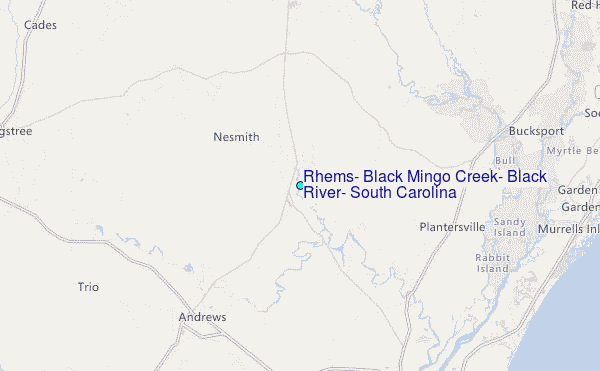
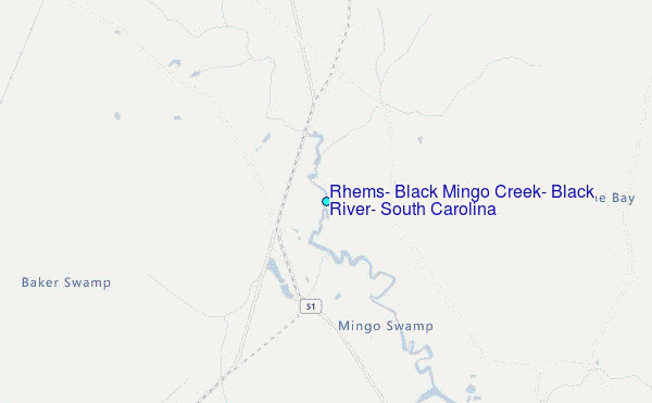
Choose Rhems, Black Mingo Creek, Black River, South Carolina Location Map Zoom:
| Contours: | Roads & Rivers: | Select a
tide station / surf break / city |
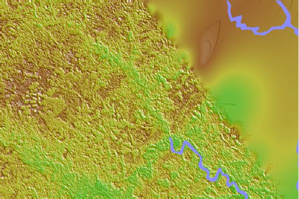
Use this relief map to navigate to tide stations, surf breaks and cities that are in the area of Rhems, Black Mingo Creek, Black River, South Carolina.
Other Nearby Locations' tide tables and tide charts to Rhems, Black Mingo Creek, Black River, South Carolina:
click location name for more details
 Surf breaks close to Rhems, Black Mingo Creek, Black River, South Carolina:
|
||
|---|---|---|
| Closest surf break | Murrells Inlet | 24 mi |
| Second closest surf break | Pelican Poles | 24 mi |
| Third closest surf break | The Pier | 24 mi |
| Fourth closest surf break | Garden City Pier | 25 mi |
| Fifth closest surf break | South End | 25 mi |


 Nearest
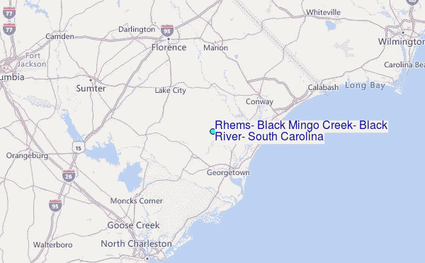