
| Distance / Altitude | Location | Report Date / Time | Live Weather | Wind | Gusts | Temp. | Visibility | Cloud |
|---|---|---|---|---|---|---|---|---|
| 837 km WNW / 3 m | Hao/tuamoto (mil (Samoa/polynesia) | 2025-12-24 02:30 local (2025/12/24 11:30 GMT) | Dry and partly cloudy | light winds from the NNE (19 km/h at 20) | 27°C | 10.0 | no cloud | |
| 1078 km WSW / - m | SHIP1123 (ocean) | 2025-12-24 03:00 local (2025/12/24 12:00 GMT) | No report | fresh winds from the N (31 km/h at 0) | 25°C | - | no observation | |
| 1091 km WSW / - m | SHIP904 (ocean) | 2025-12-24 03:00 local (2025/12/24 12:00 GMT) | No report | moderate winds from the N (28 km/h at 10) | 25°C | - | no observation | |
| 1091 km WSW / 15 m | SHIP5768 (Marine) | 2025-12-24 03:00 local (2025/12/24 12:00 GMT) | moderate winds from the N (27.720000000000002 km/h at 10) | 28°C | - km | |||
| 1091 km WSW / 15 m | SHIP6217 (Marine) | 2025-12-24 02:00 local (2025/12/24 11:00 GMT) | fresh winds from the N (31.680000000000003 km/h at 350) | 28°C | - km | |||
| 1091 km WSW / - m | SHIP733 (ocean) | 2025-12-24 03:00 local (2025/12/24 12:00 GMT) | No report | fresh winds from the N (33 km/h at 360) | 25°C | - | no observation | |
| 1091 km WSW / - m | SHIP744 (ocean) | 2025-12-24 03:00 local (2025/12/24 12:00 GMT) | No report | moderate winds from the N (28 km/h at 10) | 25°C | - | no observation | |
| 1102 km WSW / - m | SHIP212 (ocean) | 2025-12-24 02:00 local (2025/12/24 11:00 GMT) | - | moderate winds from the NNW (28 km/h at 340) | 25°C | - | no observation | |
| 1102 km WSW / - m | SHIP1143 (ocean) | 2025-12-24 02:00 local (2025/12/24 11:00 GMT) | - | moderate winds from the NNW (28 km/h at 340) | 25°C | - | no observation | |
| 1102 km WSW / - m | SHIP7 (ocean) | 2025-12-24 02:00 local (2025/12/24 11:00 GMT) | No report | moderate winds from the NNW (28 km/h at 340) | 25°C | - | no observation |
| Contours: | Roads & Rivers: | Select a
tide station / surf break / city |
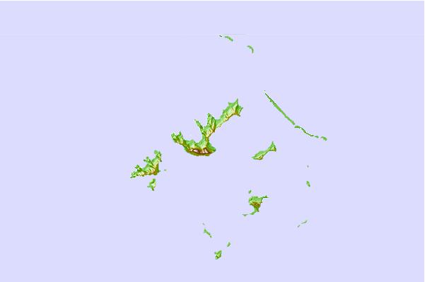
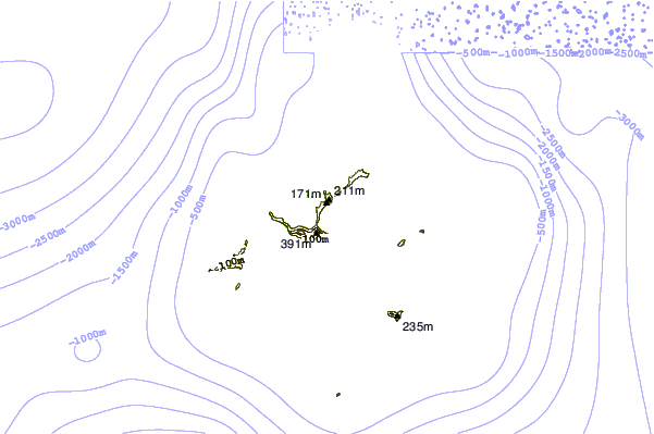
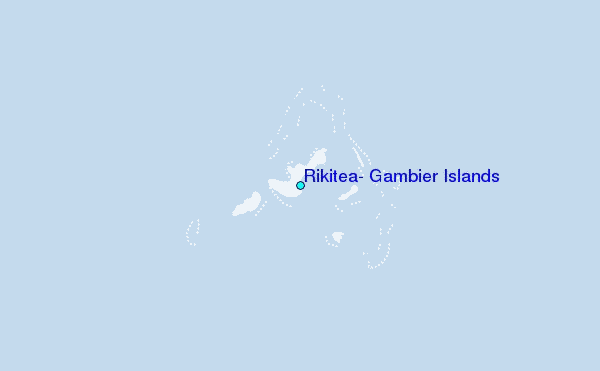
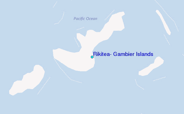
Use this relief map to navigate to tide stations, surf breaks and cities that are in the area of Rikitea, Gambier Islands.
Other Nearby Locations' tide tables and tide charts to Rikitea, Gambier Islands:
click location name for more details
 Surf breaks close to Rikitea, Gambier Islands:
|
||
|---|---|---|
| Closest surf break | Teahupo’o | 993 mi |
| Second closest surf break | Vairao | 998 mi |
| Third closest surf break | Faaone | 1002 mi |
| Fourth closest surf break | Ins and Outs | 1004 mi |
| Fifth closest surf break | Papara Beach | 1011 mi |


 Nearest