
| Distance / Altitude | Location | Report Date / Time | Live Weather | Wind | Gusts | Temp. | Visibility | Cloud |
|---|---|---|---|---|---|---|---|---|
| 24 km W / 3 m | BUOY-NTBC1 (Marine) | 2025-12-24 02:36 local (2025/12/24 10:36 GMT) | moderate winds from the E (26 km/h at 100) | 16°C | - | |||
| 28 km SE / 217 m | Oxnard Airport (California) | 2025-12-24 02:39 local (2025/12/24 10:39 GMT) | Moderate rain | moderate winds from the SE (24 km/h at 130) | 17°C | 5 | few overcast | |
| 35 km N / 1410 m | Reedley Airport (California) (California) | 2025-12-24 02:35 local (2025/12/24 10:35 GMT) | Light rain | wind obs. (15 kph from 120 degs) was rejected (- km/h at -) | 17°C | 14 | few broken | |
| 37 km SW / - m | SHIP685 (ocean) | 2025-12-24 03:00 local (2025/12/24 11:00 GMT) | - | strong winds from the ESE (40 km/h at 120) | 16°C | - | no observation | |
| 38 km W / 218 m | Santa Barbara Airport (California) | 2025-12-24 02:40 local (2025/12/24 10:40 GMT) | Moderate rain | strong winds from the ESE.(Wind varies from 005 to 010 degs) (39 km/h at 110) | 16°C | 5 | broken broken | |
| 37 km SW / - m | SHIP1095 (ocean) | 2025-12-24 03:00 local (2025/12/24 11:00 GMT) | - | strong winds from the ESE (40 km/h at 120) | 16°C | - | no observation | |
| 37 km SW / - m | SHIP1485 (ocean) | 2025-12-24 03:00 local (2025/12/24 11:00 GMT) | - | strong winds from the ESE (40 km/h at 120) | 16°C | - | no observation | |
| 37 km SW / - m | SHIP295 (ocean) | 2025-12-24 03:00 local (2025/12/24 11:00 GMT) | - | strong winds from the ESE (40 km/h at 120) | 16°C | - | no observation | |
| 37 km SW / - m | SHIP1370 (ocean) | 2025-12-24 01:00 local (2025/12/24 09:00 GMT) | - | strong winds from the ESE (43 km/h at 110) | 16°C | - | no observation | |
| 37 km SW / - m | SHIP977 (ocean) | 2025-12-24 03:00 local (2025/12/24 11:00 GMT) | - | strong winds from the ESE (40 km/h at 120) | 16°C | - | no observation |
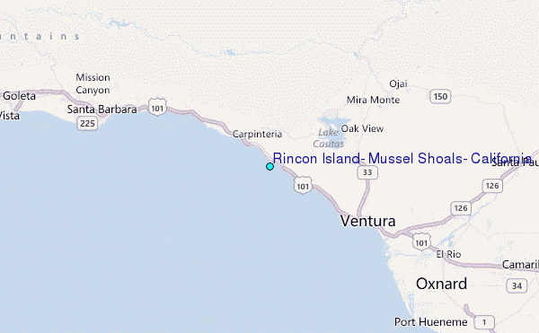
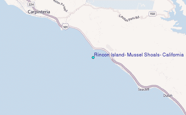
Choose Rincon Island, Mussel Shoals, California Location Map Zoom:
| Contours: | Roads & Rivers: | Select a
tide station / surf break / city |
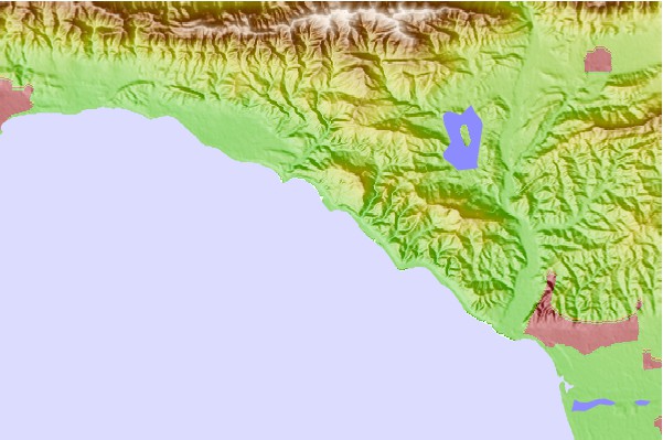
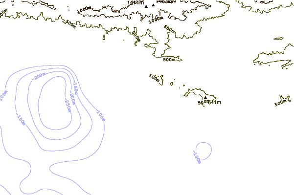
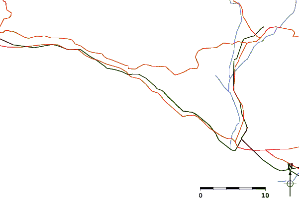
Use this relief map to navigate to tide stations, surf breaks and cities that are in the area of Rincon Island, Mussel Shoals, California.
Other Nearby Locations' tide tables and tide charts to Rincon Island, Mussel Shoals, California:
click location name for more details
 Surf breaks close to Rincon Island, Mussel Shoals, California:
|
||
|---|---|---|
| Closest surf break | Little Rincon | 1 mi |
| Second closest surf break | Hobson County Park | 1 mi |
| Third closest surf break | Hobson's | 2 mi |
| Fourth closest surf break | La Conchita Beach | 2 mi |
| Fifth closest surf break | Faria | 2 mi |


 Nearest
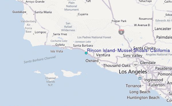