
| Distance / Altitude | Location | Report Date / Time | Live Weather | Wind | Gusts | Temp. | Visibility | Cloud |
|---|---|---|---|---|---|---|---|---|
| 8 km SSE / 216 m | Westhampton Beach/Francis S. Gabreski Airport (New York) | 2026-05-30 11:31 local (2026/05/30 15:31 GMT) | Dry and cloudy | strong winds from the N (39 km/h at 360) | 11°C | 16 | few broken overcast | |
| 21 km SW / 217 m | Shirley Airport (New York) | 2026-05-30 10:56 local (2026/05/30 14:56 GMT) | Dry and cloudy | strong winds from the N (39 km/h at 350) | 12°C | 16 | few broken overcast | |
| 39 km SW / 218 m | Islip Airport (New York) | 2026-05-30 10:56 local (2026/05/30 14:56 GMT) | Dry and partly cloudy | strong winds from the NNW (39 km/h at 340) | 13°C | 16 | broken broken | |
| 43 km SW / 3 m | BUOY-44069 (Marine) | 2026-05-30 12:00 local (2026/05/30 16:00 GMT) | strong winds from the N (47 km/h at 360) | 12°C | - | |||
| 43 km NW / 218 m | New Haven/Tweed Airport (Connecticut) | 2026-05-30 10:53 local (2026/05/30 14:53 GMT) | Dry and cloudy | strong winds from the N (41 km/h at 350) | 10°C | 16 | few broken overcast | |
| 44 km SW / - m | SHIP1696 (ocean) | 2026-05-30 10:00 local (2026/05/30 14:00 GMT) | - | strong winds from the NW (43 km/h at 320) | 13°C | - | no observation | |
| 44 km SW / - m | SHIP454 (ocean) | 2026-05-30 12:00 local (2026/05/30 16:00 GMT) | - | strong winds from the N (43 km/h at 360) | 12°C | - | no observation | |
| 44 km SW / - m | SHIP1731 (ocean) | 2026-05-30 12:00 local (2026/05/30 16:00 GMT) | - | strong winds from the N (47 km/h at 360) | 12°C | - | no observation | |
| 44 km SW / - m | SHIP435 (ocean) | 2026-05-30 12:00 local (2026/05/30 16:00 GMT) | - | strong winds from the N (43 km/h at 360) | 12°C | - | no observation | |
| 44 km SW / - m | SHIP755 (ocean) | 2026-05-30 12:00 local (2026/05/30 16:00 GMT) | - | strong winds from the N (47 km/h at 360) | 12°C | - | no observation |
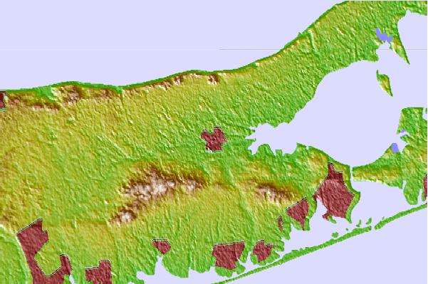
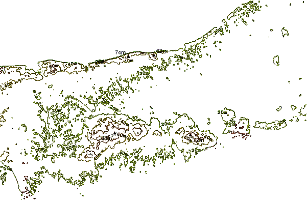
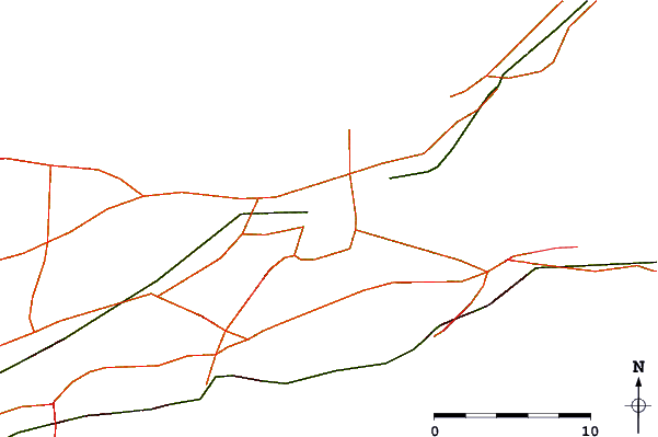
| Contours: | Roads & Rivers: | Select a
tide station / surf break / city |
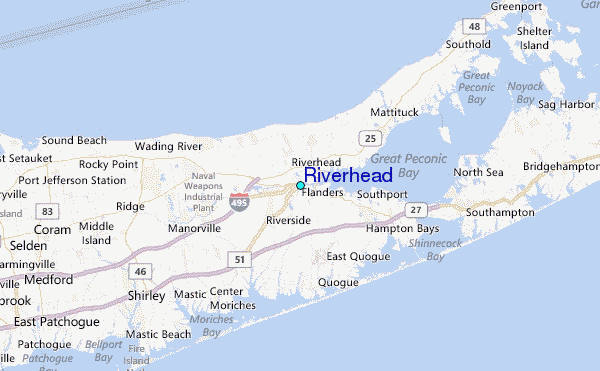
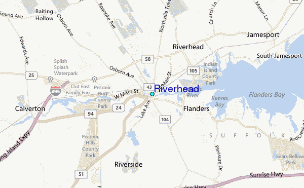
Use this relief map to navigate to tide stations, surf breaks and cities that are in the area of Riverhead.
Other Nearby Locations' tide tables and tide charts to Riverhead:
click location name for more details
 Surf breaks close to Riverhead:
|
||
|---|---|---|
| Closest surf break | Jetty | 9 mi |
| Second closest surf break | Cupsogue | 10 mi |
| Third closest surf break | Road K | 10 mi |
| Fourth closest surf break | Flies | 11 mi |
| Fifth closest surf break | Outside Ponquogue | 11 mi |


 Nearest
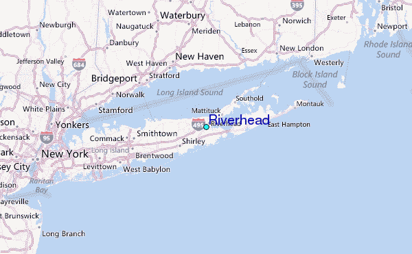