
| Distance / Altitude | Location | Report Date / Time | Live Weather | Wind | Gusts | Temp. | Visibility | Cloud |
|---|---|---|---|---|---|---|---|---|
| 3 km E / 3 m | BUOY-ORIN7 (Marine) | 2026-05-16 16:30 local (2026/05/16 20:30 GMT) | fresh winds from the SW (35 km/h at 220) | 22°C | - | |||
| 17 km WNW / 219 m | Manteo/Dare County Airport (North Carolina) | 2026-05-16 16:35 local (2026/05/16 20:35 GMT) | Clear | fresh winds from the SSW (30 km/h at 200) | 23°C | 16 | ||
| 24 km ESE / 3 m | Oregon Inlet- NC (Marine) | 2026-05-16 15:26 local (2026/05/16 19:26 GMT) | - (- km/h at -) | — | - | |||
| 25 km NW / 219 m | Kill Devil Hills Airport (North Carolina) | 2026-05-16 16:35 local (2026/05/16 20:35 GMT) | Clear | light winds from the S.(Wind varies from 130 to 210 degs) (17 km/h at 170) | 24°C | 16 | ||
| 27 km NNE / 3 m | Nags Head Buoy- NC (Marine) | 2026-05-16 16:26 local (2026/05/16 20:26 GMT) | - (- km/h at -) | — | - | |||
| 31 km SW / 3 m | Stumpy Point (North carolina) | 2026-05-16 15:55 local (2026/05/16 19:55 GMT) | Clear | moderate winds from the SSW (28 km/h at 200) | 26°C | 16 | ||
| 42 km SSW / 2 m | Hyde County- Engelhard Airport (North Carolina) (North Carolina) | 2026-05-16 16:35 local (2026/05/16 20:35 GMT) | Clear | fresh winds from the S (30 km/h at 180) | 24°C | 16 | ||
| 45 km NW / 3 m | BUOY-DUKN7 (Marine) | 2026-05-16 16:30 local (2026/05/16 20:30 GMT) | moderate winds from the S (24 km/h at 180) | 24°C | - | |||
| 46 km NW / 3 m | Duck FRF- NC (Marine) | 2026-05-16 17:00 local (2026/05/16 21:00 GMT) | - (- km/h at -) | 22°C | - | |||
| 51 km N / 3 m | Duck FRF 26m- NC (Marine) | 2026-05-16 17:00 local (2026/05/16 21:00 GMT) | - (- km/h at -) | 19°C | - |
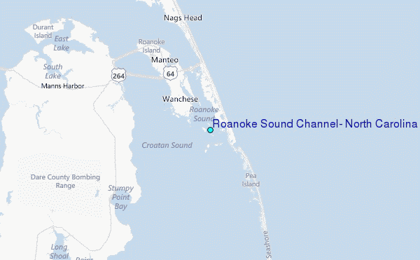
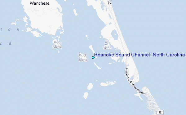
Choose Roanoke Sound Channel, North Carolina Location Map Zoom:
| Contours: | Roads & Rivers: | Select a
tide station / surf break / city |
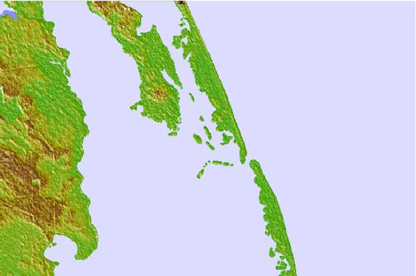

Use this relief map to navigate to tide stations, surf breaks and cities that are in the area of Roanoke Sound Channel, North Carolina.
Other Nearby Locations' tide tables and tide charts to Roanoke Sound Channel, North Carolina:
click location name for more details
 Surf breaks close to Roanoke Sound Channel, North Carolina:
|
||
|---|---|---|
| Closest surf break | Boilers (Ranger Station) | 4 mi |
| Second closest surf break | Outer Banks Pier | 6 mi |
| Third closest surf break | Boiler | 7 mi |
| Fourth closest surf break | Jennette's Pier | 9 mi |
| Fifth closest surf break | Nags Head Pier | 12 mi |


 Nearest
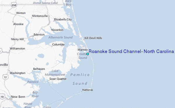