
| Distance / Altitude | Location | Report Date / Time | Live Weather | Wind | Gusts | Temp. | Visibility | Cloud |
|---|---|---|---|---|---|---|---|---|
| 44 km NW / 15 m | ASCATB326E4S (Marine) | 2025-12-23 21:37 local (2025/12/23 23:37 GMT) | moderate winds from the SE (27 km/h at 132) | — | - km | |||
| 59 km WNW / 15 m | ASCATC326E4S (Marine) | 2025-12-23 22:18 local (2025/12/24 00:18 GMT) | fresh winds from the SE (29 km/h at 130) | — | - km | |||
| 67 km ENE / 15 m | ASCATC327E4S (Marine) | 2025-12-23 22:17 local (2025/12/24 00:17 GMT) | moderate winds from the SE (26 km/h at 130) | — | - km | |||
| 75 km S / 15 m | ASCATC326E5S (Marine) | 2025-12-23 22:17 local (2025/12/24 00:17 GMT) | moderate winds from the SE (28 km/h at 132) | — | - km | |||
| 86 km SSE / 15 m | ASCATB327E5S (Marine) | 2025-12-23 21:37 local (2025/12/23 23:37 GMT) | fresh winds from the SE (30 km/h at 138) | — | - km | |||
| 89 km ENE / 15 m | ASCATB327E4S (Marine) | 2025-12-23 21:37 local (2025/12/23 23:37 GMT) | moderate winds from the SE (24 km/h at 126) | — | - km | |||
| 95 km SSW / 15 m | ASCATB326E5S (Marine) | 2025-12-23 21:37 local (2025/12/23 23:37 GMT) | fresh winds from the SE (30 km/h at 129) | — | - km | |||
| 110 km SE / 15 m | ASCATC327E5S (Marine) | 2025-12-23 22:17 local (2025/12/24 00:17 GMT) | moderate winds from the SE (28 km/h at 127) | — | - km | |||
| 133 km SW / 15 m | ASCATB325E5S (Marine) | 2025-12-23 21:37 local (2025/12/23 23:37 GMT) | fresh winds from the SE (32 km/h at 132) | — | - km | |||
| 142 km W / 15 m | ASCATB325E4S (Marine) | 2025-12-23 21:37 local (2025/12/23 23:37 GMT) | fresh winds from the SE (30 km/h at 124) | — | - km |
| Contours: | Roads & Rivers: | Select a
tide station / surf break / city |
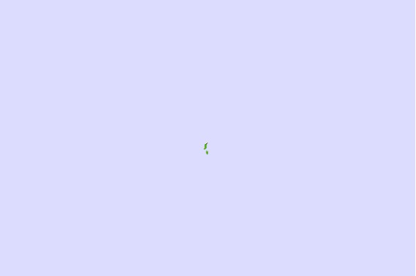
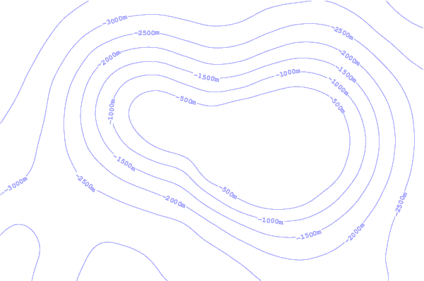
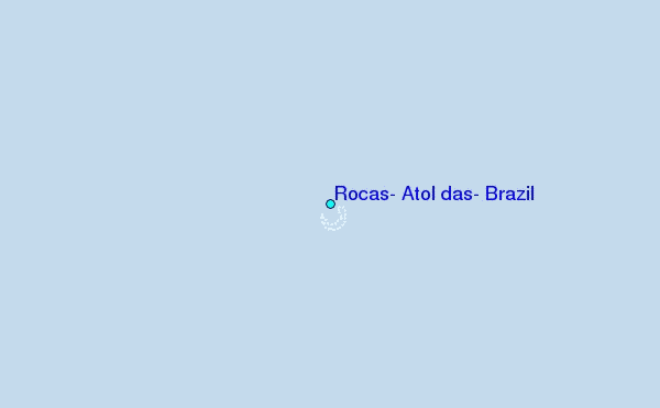
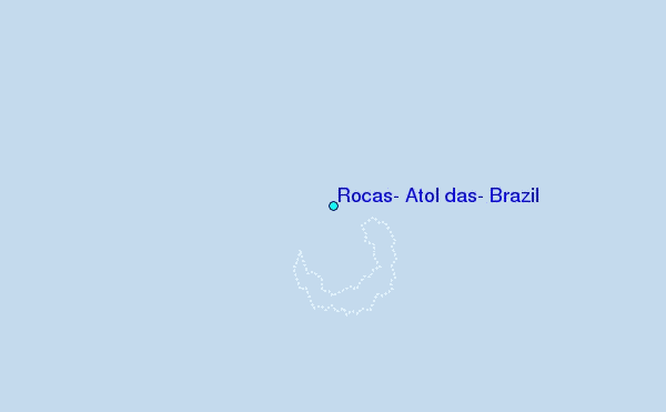
Use this relief map to navigate to tide stations, surf breaks and cities that are in the area of Rocas, Atol das, Brazil.
Other Nearby Locations' tide tables and tide charts to Rocas, Atol das, Brazil:
click location name for more details
 Surf breaks close to Rocas, Atol das, Brazil:
|
||
|---|---|---|
| Closest surf break | Cacimba do Padre | 95 mi |
| Second closest surf break | Boldro | 96 mi |
| Third closest surf break | Conceicao | 96 mi |
| Fourth closest surf break | Meio | 96 mi |
| Fifth closest surf break | Abras | 98 mi |


 Nearest
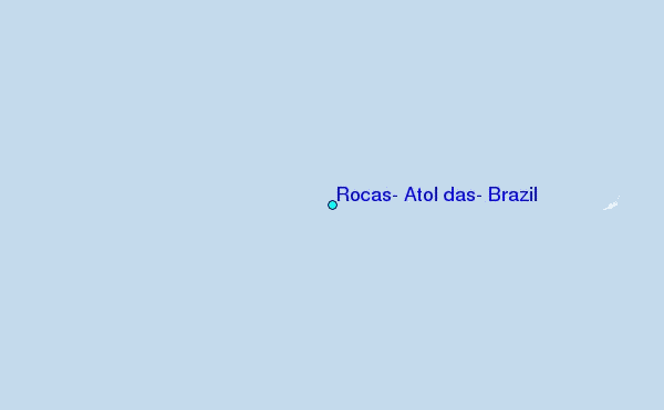