
| Distance / Altitude | Location | Report Date / Time | Live Weather | Wind | Gusts | Temp. | Visibility | Cloud |
|---|---|---|---|---|---|---|---|---|
| 27 km NNE / 339 m | Melville Hall AR Airport (Dominican Republic) | 2026-03-21 19:00 local (2026/03/21 23:00 GMT) | Shower - in the vicinity | light winds from the SE (9 km/h at 130) | 24°C | 10.0 | broken | |
| 56 km SSE / 145 m | Rhum JM (Martinique) | 2026-03-21 21:00 local (2026/03/22 01:00 GMT) | - | calm (2 km/h at 193) | 22°C | - | - - 0 | |
| 81 km SE / 39 m | Trinite -Caravelle (France) | 2026-03-21 20:00 local (2026/03/22 00:00 GMT) | no report | fresh winds from the ESE (29 km/h at 120) | 30°C | - | - | |
| 89 km SSE / - m | SHIP1061 (ocean) | 2026-03-21 19:00 local (2026/03/21 23:00 GMT) | No report | light winds from the ENE (15 km/h at 70) | 26°C | 10 km | no observation | |
| 89 km SSE / 214 m | Le Lamentin/Martinique Aimé Césaire International Airport (Lesser Antilles) | 2026-03-21 20:30 local (2026/03/22 00:30 GMT) | Dry and partly cloudy | calm (0 km/h at 0) | 24°C | 10.0 | broken broken | |
| 89 km SSE / 3 m | SHIP8332 (Marine) | 2026-03-21 19:00 local (2026/03/21 23:00 GMT) | light winds from the ENE (15 km/h at 70) | 26°C | 9.3 | |||
| 89 km SSE / 3 m | SHIP4695 (Marine) | 2026-03-21 19:00 local (2026/03/21 23:00 GMT) | light winds from the ENE (15 km/h at 70) | 26°C | 9.3 | |||
| 89 km SSE / 15 m | SHIP7460 (Marine) | 2026-03-21 19:00 local (2026/03/21 23:00 GMT) | light winds from the ENE (14.76 km/h at 70) | 28°C | 8.1 km | |||
| 89 km SSE / 8 m | Lamentin -Aero (France) | 2026-03-21 20:00 local (2026/03/22 00:00 GMT) | no report | wind obs. (14 kph from 160 degs) was rejected (- km/h at -) | 27°C | 10 | - | |
| 89 km SSE / 3 m | SHIP6694 (Marine) | 2026-03-21 19:00 local (2026/03/21 23:00 GMT) | light winds from the ENE (15 km/h at 70) | 26°C | 9.3 |
| Contours: | Roads & Rivers: | Select a
tide station / surf break / city |
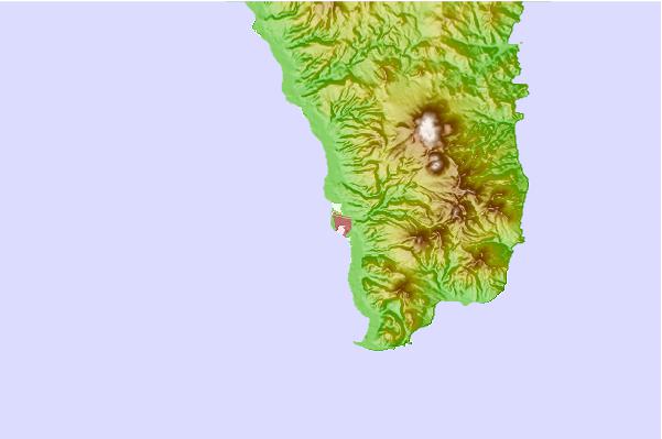
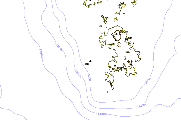
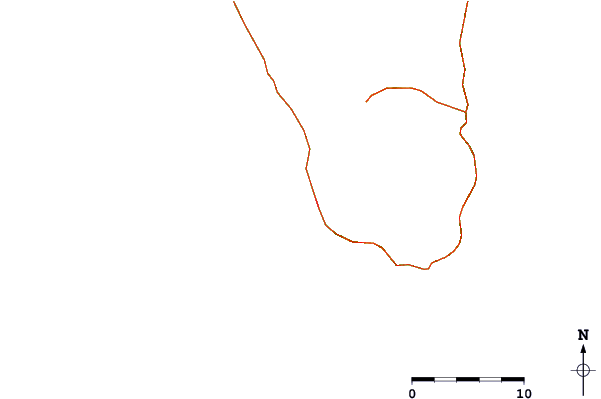
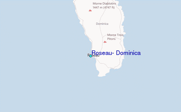
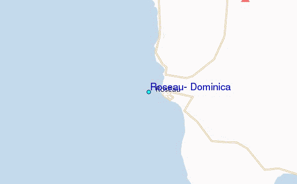
Use this relief map to navigate to tide stations, surf breaks and cities that are in the area of Roseau, Dominica.
Other Nearby Locations' tide tables and tide charts to Roseau, Dominica:
click location name for more details
 Surf breaks close to Roseau, Dominica:
|
||
|---|---|---|
| Closest surf break | Anse Couleuvre | 33 mi |
| Second closest surf break | Bagasse | 33 mi |
| Third closest surf break | Charlot | 33 mi |
| Fourth closest surf break | Ceron | 34 mi |
| Fifth closest surf break | Tomate | 34 mi |


 Nearest
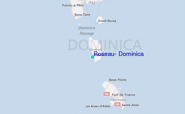