
| Distance / Altitude | Location | Report Date / Time | Live Weather | Wind | Gusts | Temp. | Visibility | Cloud |
|---|---|---|---|---|---|---|---|---|
| 4 km E / 8 m | Williams Field (Antarctica) | 2026-06-03 12:15 local (2026/06/03 00:15 GMT) | Dry and cloudy | light winds from the ESE (7 km/h at 120) | -23°C | 7.0 | overcast | |
| 1353 km S / 3012 m | Amundsen-Scott Airport (Antarctica) | 2026-06-03 11:50 local (2026/06/02 23:50 GMT) | Mist - | wind obs. (13 kph from 130 degs) was rejected (- km/h at -) | — | 9.0 | ||
| 1658 km NW / 15 m | ASCATC151E64S (Marine) | 2026-06-03 11:13 local (2026/06/02 23:13 GMT) | strong winds from the SSW (50 km/h at 194) | — | - km | |||
| 1662 km NW / 15 m | ASCATC153E64S (Marine) | 2026-06-03 11:13 local (2026/06/02 23:13 GMT) | light winds from the SSW (17 km/h at 192) | — | - km | |||
| 1667 km NW / 15 m | ASCATC152E64S (Marine) | 2026-06-03 11:13 local (2026/06/02 23:13 GMT) | light winds from the ESE (18 km/h at 104) | — | - km | |||
| 1668 km WNW / 15 m | ASCATC146E64S (Marine) | 2026-06-03 11:13 local (2026/06/02 23:13 GMT) | fresh winds from the ESE (33 km/h at 106) | — | - km | |||
| 1676 km NW / 15 m | ASCATC149E64S (Marine) | 2026-06-03 11:13 local (2026/06/02 23:13 GMT) | fresh winds from the S (31 km/h at 175) | — | - km | |||
| 1677 km NW / 15 m | ASCATC150E64S (Marine) | 2026-06-03 11:13 local (2026/06/02 23:13 GMT) | near gales from the S (51 km/h at 184) | — | - km | |||
| 1685 km NW / 15 m | ASCATC153E63S (Marine) | 2026-06-03 11:13 local (2026/06/02 23:13 GMT) | light winds from the SSE (12 km/h at 163) | — | - km | |||
| 1686 km NW / 15 m | ASCATC148E64S (Marine) | 2026-06-03 11:13 local (2026/06/02 23:13 GMT) | moderate winds from the ESE (24 km/h at 121) | — | - km |
| Contours: | Roads & Rivers: | Select a
tide station / surf break / city |

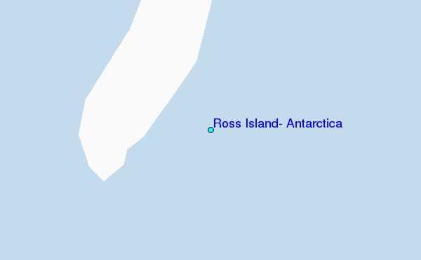
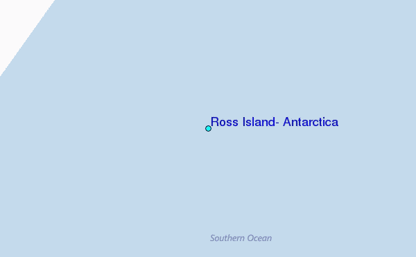
Use this relief map to navigate to tide stations, surf breaks and cities that are in the area of Ross Island, Antarctica.
Other Nearby Locations' tide tables and tide charts to Ross Island, Antarctica:
click location name for more details
 Surf breaks close to Ross Island, Antarctica:
|
||
|---|---|---|
| Closest surf break | Stewart Island - Saber Reef | 2121 mi |
| Second closest surf break | Dinner Plates | 2157 mi |
| Third closest surf break | Porpoise Bay | 2158 mi |
| Fourth closest surf break | Papatowai | 2164 mi |
| Fifth closest surf break | Long Point | 2165 mi |


 Nearest
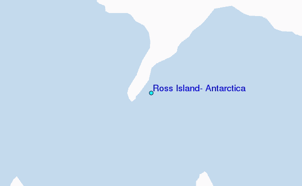