
| Distance / Altitude | Location | Report Date / Time | Live Weather | Wind | Gusts | Temp. | Visibility | Cloud |
|---|---|---|---|---|---|---|---|---|
| 6 km WNW / 218 m | Newport Airport (Rhode Island) | 2025-12-14 19:53 local (2025/12/15 00:53 GMT) | Dry and cloudy | moderate winds from the NNW (26 km/h at 330) | -3°C | 14 | few overcast | |
| 8 km WSW / 3 m | BUOY-NWPR1 (Marine) | 2025-12-14 20:36 local (2025/12/15 01:36 GMT) | fresh winds from the NNW (33 km/h at 340) | — | - | |||
| 14 km N / 110 m | Portsmouth (Rhode Island) | 2025-12-14 20:34 local (2025/12/15 01:34 GMT) | - | light winds from the NNW (11 km/h at 344) | -3°C | - | - - 0 | |
| 18 km NE / 3 m | South Westport wx (United States) | 2025-12-14 21:19 local (2025/12/15 02:19 GMT) | - | calm (0 km/h at 0) | -5°C | - | - - 0 | |
| 19 km NW / 3 m | BUOY-PTCR1 (Marine) | 2025-12-14 20:30 local (2025/12/15 01:30 GMT) | moderate winds from the N (21 km/h at 360) | -4°C | - | |||
| 20 km ESE / 3 m | BUOY-BUZM3 (Marine) | 2025-12-14 21:00 local (2025/12/15 02:00 GMT) | near gales from the NNW (55 km/h at 330) | — | - | |||
| 20 km WNW / 273 m | Nort Kingston/Quonset State Airport (Rhode Island) | 2025-12-14 20:35 local (2025/12/15 01:35 GMT) | Dry and cloudy | strong winds from the NW (43 km/h at 320) | -3°C | 16 | few overcast | |
| 20 km WNW / 3 m | BUOY-PDVR1 (Marine) | 2025-12-14 20:30 local (2025/12/15 01:30 GMT) | fresh winds from the NW (30 km/h at 310) | -3°C | - | |||
| 20 km ESE / 3 m | BUOY-44085 (Marine) | 2025-12-14 20:30 local (2025/12/15 01:30 GMT) | - (- km/h at -) | -2°C | - | |||
| 20 km W / 5 m | Providence (Rhode Island) | 2025-12-14 19:06 local (2025/12/15 00:06 GMT) | - | light winds from the NW (6 km/h at 314) | -4°C | - | - - 0 |
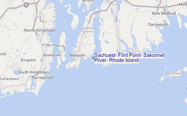
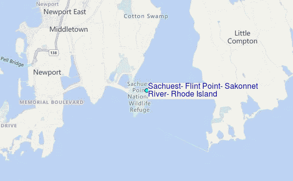
Choose Sachuest, Flint Point, Sakonnet River, Rhode Island Location Map Zoom:
| Contours: | Roads & Rivers: | Select a
tide station / surf break / city |
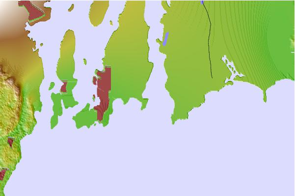
Use this relief map to navigate to tide stations, surf breaks and cities that are in the area of Sachuest, Flint Point, Sakonnet River, Rhode Island.
Other Nearby Locations' tide tables and tide charts to Sachuest, Flint Point, Sakonnet River, Rhode Island:
click location name for more details
 Surf breaks close to Sachuest, Flint Point, Sakonnet River, Rhode Island:
|
||
|---|---|---|
| Closest surf break | Sachuest Beach (2nd Beach) | 1 mi |
| Second closest surf break | Sakonnet River Break | 1 mi |
| Third closest surf break | 2nd Beach | 1 mi |
| Fourth closest surf break | Elbow Ledge | 2 mi |
| Fifth closest surf break | Tuckerman's | 2 mi |


 Nearest
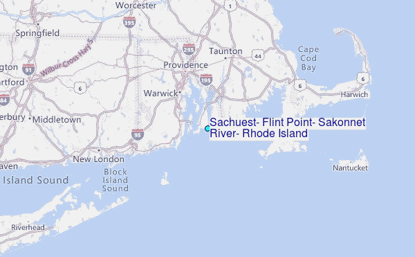