
| Distance / Altitude | Location | Report Date / Time | Live Weather | Wind | Gusts | Temp. | Visibility | Cloud |
|---|---|---|---|---|---|---|---|---|
| 6 km SSW / 219 m | Key West Naval Air Station Airport (Florida) | 2026-07-28 03:53 local (2026/07/28 07:53 GMT) | Clear | light winds from the WSW (11 km/h at 250) | 29°C | 16 | ||
| 14 km SW / 218 m | Key West Airport (Florida) | 2026-07-28 03:53 local (2026/07/28 07:53 GMT) | Clear | light winds from the W (9 km/h at 260) | 28°C | 16 | ||
| 15 km ENE / 5 m | Cudjoe Key (Florida) | 2026-07-28 05:14 local (2026/07/28 09:14 GMT) | dry | - (- km/h at ) | 29°C | - | - - 0 | |
| 20 km SW / 3 m | BUOY-KYWF1 (Marine) | 2026-07-28 05:00 local (2026/07/28 09:00 GMT) | light winds from the WNW (17 km/h at 290) | 30°C | - | |||
| 23 km ENE / 8 m | Ramrod Key (Florida) | 2026-07-28 05:09 local (2026/07/28 09:09 GMT) | dry | wind obs. (6 kph from 180 degs) was rejected (- km/h at -) | 29°C | - | - - 0 | |
| 30 km SW / 3 m | BUOY-SANF1 (Marine) | 2026-07-28 05:20 local (2026/07/28 09:20 GMT) | light winds from the W (17 km/h at 270) | 29°C | - | |||
| 41 km SW / 3 m | BUOY-42095 (Marine) | 2026-07-28 05:00 local (2026/07/28 09:00 GMT) | - (- km/h at -) | 29°C | - | |||
| 52 km E / 3 m | BUOY-SMKF1 (Marine) | 2026-07-28 05:20 local (2026/07/28 09:20 GMT) | light winds from the W (9 km/h at 280) | 29°C | - | |||
| 53 km ENE / 3 m | BUOY-VCAF1 (Marine) | 2026-07-28 05:00 local (2026/07/28 09:00 GMT) | light winds from the W (8 km/h at 260) | 29°C | - | |||
| 58 km ENE / 2 m | Castle Rock (Colorado) | 2026-07-28 05:25 local (2026/07/28 09:25 GMT) | dry | calm (0 km/h at 218) | 28°C | - | - - 0 |
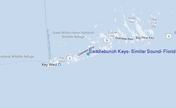
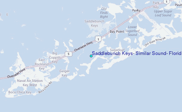
Choose Saddlebunch Keys, Similar Sound, Florida Location Map Zoom:
| Contours: | Roads & Rivers: | Select a
tide station / surf break / city |
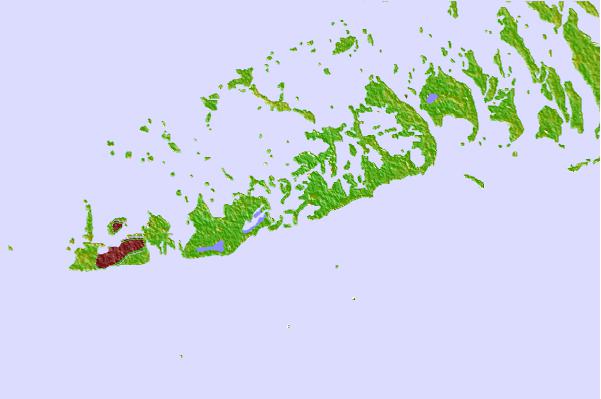
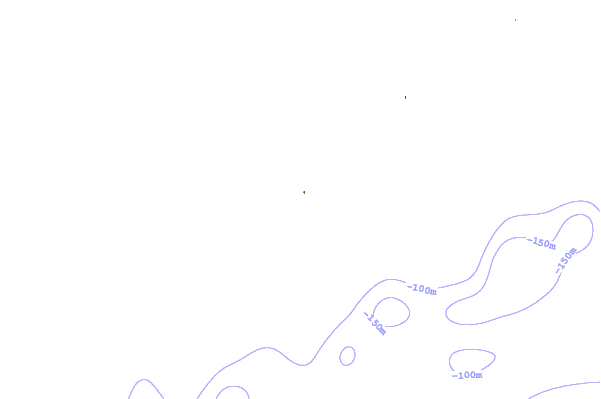
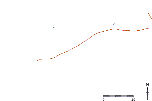
Use this relief map to navigate to tide stations, surf breaks and cities that are in the area of Saddlebunch Keys, Similar Sound, Florida.
Other Nearby Locations' tide tables and tide charts to Saddlebunch Keys, Similar Sound, Florida:
click location name for more details
 Surf breaks close to Saddlebunch Keys, Similar Sound, Florida:
|
||
|---|---|---|
| Closest surf break | Naples Pier | 103 mi |
| Second closest surf break | Wiggins Pass | 117 mi |
| Third closest surf break | South Beach (Miami) | 123 mi |
| Fourth closest surf break | Fifth Street (Miami) | 124 mi |
| Fifth closest surf break | 21st Street (Miami) | 125 mi |


 Nearest
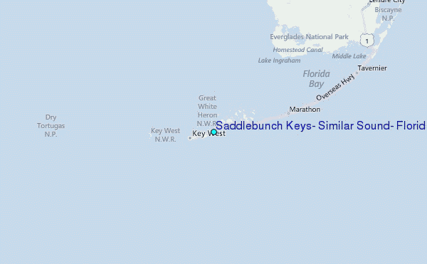